New Woodstock in Madison County, New York — The American Northeast (Mid-Atlantic)
Church Building
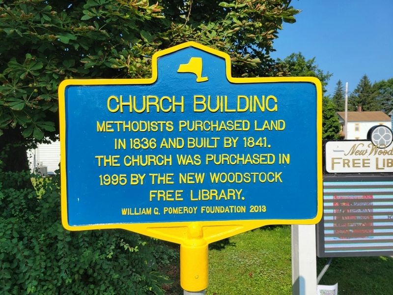
Photographed by Kevin W., August 1, 2024
1. Church Building Marker
Methodists purchased land in 1836 and built by 1841. The church was purchased in 1995 by the New Woodstock Free Library.
Erected 2013 by William G. Pomeroy Foundation.
Topics. This historical marker is listed in this topic list: Religion & Religious Structures. A significant historical year for this entry is 1841.
Location. 42° 50.887′ N, 75° 51.34′ W. Marker is in New Woodstock, New York, in Madison County. It is on Main Street (New York State Route 80) 0.1 miles east of Pearl Street, on the right when traveling east. Touch for map. Marker is at or near this postal address: 2106 Main Street, New Woodstock NY 13122, United States of America. Touch for directions.

Regionally, this marker is in Upstate New York, specifically in Central New York, and in the Syracuse Metropolitan Area. It is also in the American Northeast and in the Mid-Atlantic. Globally, it is in North America, the Western Hemisphere, the Western World, and the Anglosphere. Historically, it finds itself in what was once the Haudenosaunee (Iroquois) Confederacy, New Netherland, and one of the original Thirteen Colonies.
Other nearby markers. At
this page online
Another marker is no longer nearby. Lehigh Valley Railroad (was approx. 0.2 miles away but has been confirmed missing).
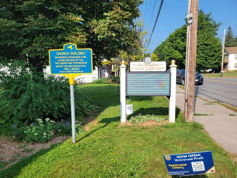
Photographed by Kevin W., August 1, 2024
2. Church Building Marker
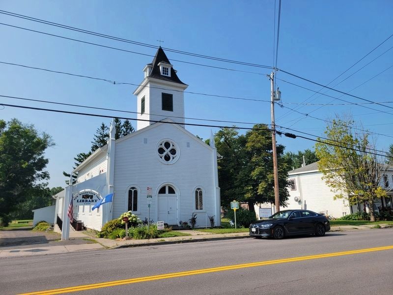
Photographed by Kevin W., August 1, 2024
3. Church Building and Marker
Credits. This page was last revised on April 26, 2026. It was originally submitted on August 1, 2024, by Kevin W. of Stafford, Virginia. This page has been viewed 176 times since then and 10 times this year. Photos: 1, 2, 3. submitted on August 1, 2024, by Kevin W. of Stafford, Virginia.
