Quinnesec in Dickinson County, Michigan — The American Midwest (Great Lakes)
Menominee Iron Range
Photographed by Paul Fehrenbach, July 27, 2024
1. Menominee Iron Range Marker
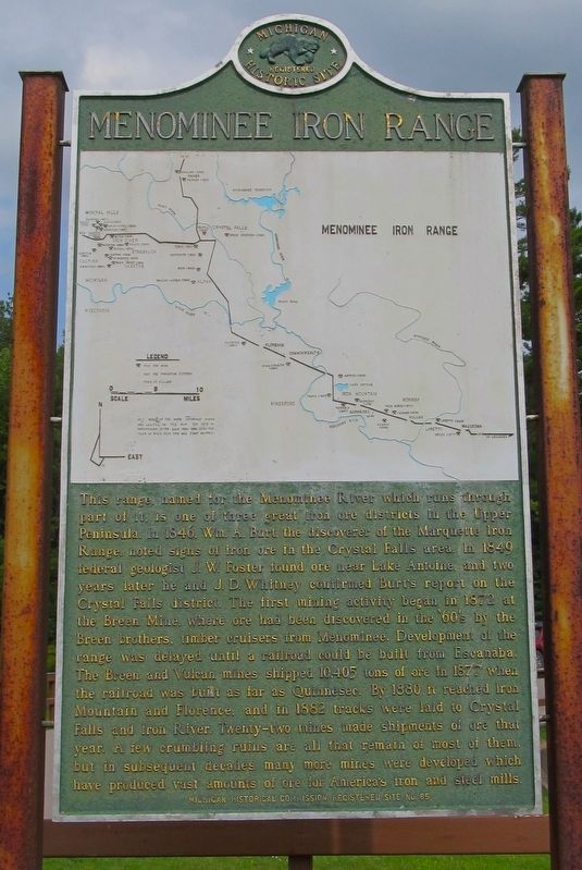
This range, named for the Menominee River which runs through part of it, is one of three great iron ore districts in the Upper Peninsula. In 1846 Wm. A. Burt, the discoverer of the Marquette Iron Range, noted signs of iron ore in the Crystal Falls area. In 1849 federal geologist J. W. Foster found ore near Lake Antoine, and two years later he and J. D. Whitney confirmed Burt’s report on the Crystal Falls district. The first mining activity began in 1872 at the Breen Mine, where ore had been discovered in the ‘60s by the Breen brothers, timber cruisers from Menominee. Development of the range was delayed until a railroad could be built from Escanaba. The Breen and Vulcan mines shipped 10,405 tons of ore in 1877 when the railroad was built as far as Quinnesec. By 1880 it reached Iron Mountain and Florence, and in 1882 tracks were laid to Crystal Falls and Iron River. Twenty-two mines had made shipments of ore that year. A few crumbling ruins are all that remain of most of them, but in subsequent decades many more mines were developed which have produced vast amounts of ore for America’s iron and steel mills.
Erected 1958 by Michigan Historical Commission and Michigan History Center. (Marker Number S85.)
Topics and series. This historical marker is listed in this topic list: Industry & Commerce. In addition, it is included in the Michigan Historical Commission series list. A significant historical year for this entry is 1846.
Location. 45° 48.36′ N, 87° 58.727′ W. Marker is in Quinnesec, Michigan, in Dickinson County. It is on U.S. 2, on the right when traveling west. The marker is located in the Fumee Creek Roadside Park, on the north side of U.S. 2 about one mile east of the village of Quinnesec. Touch for map. Marker is in this post office area: Quinnesec MI 49876, United States of America. Touch for directions.

Regionally,
this page online
Other nearby markers. At least 8 other markers are within 5 miles of this marker, measured as the crow flies: Fumee Falls (a few steps from this marker); Norway Spring (approx. 2.6 miles away); Maria Santissima Immacolata di Lourdes / Mary Immaculate of Lourdes Church (approx. 4.1 miles away); The Ardis Furnace (approx. 4.2 miles away); Robert C. Hoyle (approx. 4.2 miles away); Carnegie Library (approx. 4.2 miles away); Dickinson County / Dickinson County Courthouse and Jail (approx. 4.2 miles away); Italians in Dickinson County (approx. 4.6 miles away).
Photographed by Paul Fehrenbach, July 27, 2024
2. Menominee Iron Range Marker
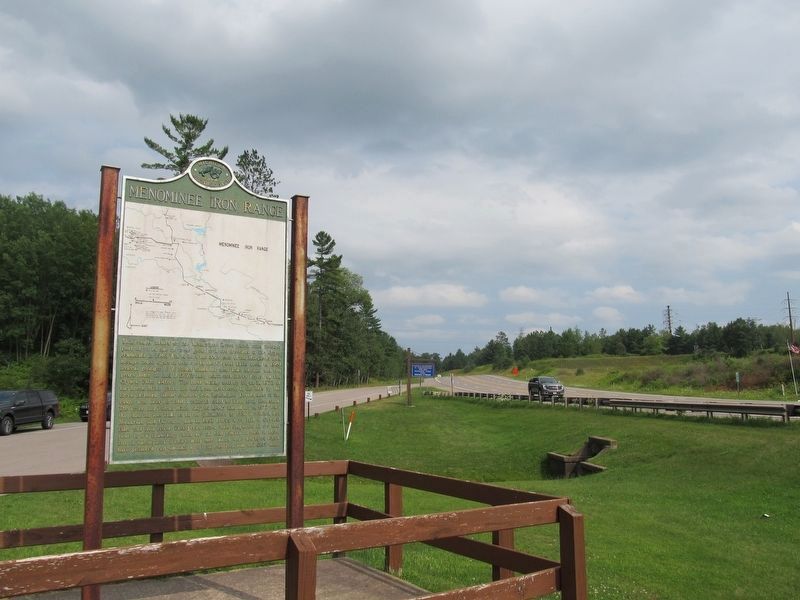
This view of the marker is looking east along U.S. 2.
Photographed by Paul Fehrenbach, July 27, 2024
3. Menominee Iron Range Marker
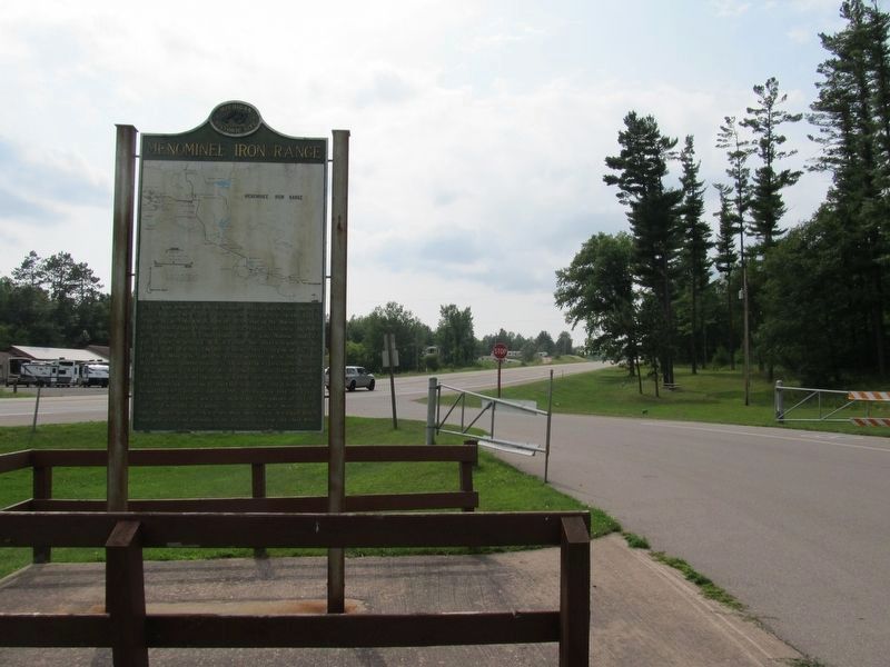
This view is looking west along U.S. 2.
Photographed by Paul Fehrenbach, July 27, 2024
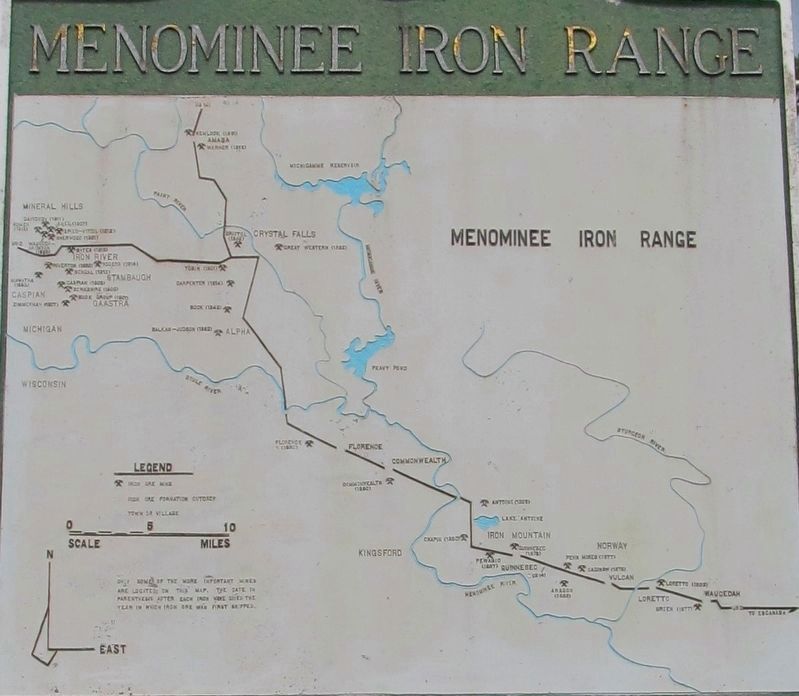
4. Map on the Menominee Iron Range Marker
Photographed by Paul Fehrenbach, July 27, 2024
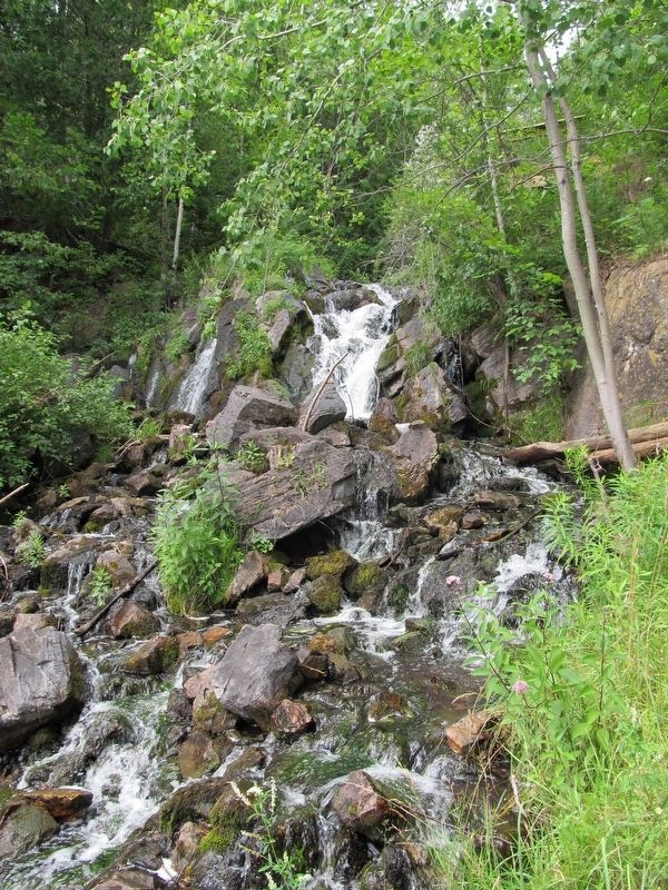
5. Fumee Falls of Fumee Creek in the roadside park
Credits. This page was last revised on August 17, 2024. It was originally submitted on August 1, 2024, by Paul Fehrenbach of Richfield, Wisconsin. This page has been viewed 482 times since then and 54 times this year. Photos: 1, 2, 3, 4, 5. submitted on August 1, 2024, by Paul Fehrenbach of Richfield, Wisconsin. • J. Makali Bruton was the editor who published this page.
