
Lincoln in Lincolnshire, England, United Kingdom — Northwestern Europe (the British Isles)
From Friaries to Markets
Photographed by Ray Gurganus, April 15, 2024
1. From Friaries to Markets Marker
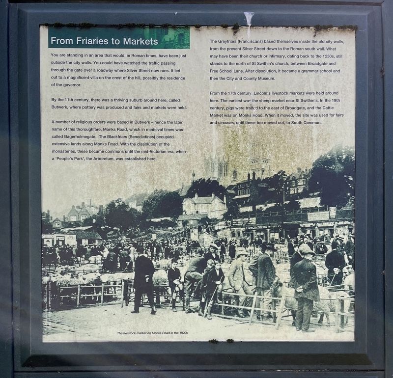
By the 11th century, there was a thriving suburb around here, called Butwerk, where pottery was produced and fairs and markets were held.
A number of religious orders were based in Butwerk - hence the later name of this thoroughfare, Monks Road, which in medieval times was called Bagerholmegate. The Blackfriars (Benedictines) occupied extensive lands along Monks Road. With the dissolution of the monasteries, these became commons until the mid-Victorian era, when a 'People's Park', the Arboretum, was established here.
The Greyfriars (Franciscans) based themselves inside the old city walls, from the present Silver Street down to the Roman south wall. What may have been their church or infirmary, dating back to the 1230s, still stands to the north of St Swithin's church, between Broadgate and Free School Lane. After dissolution,
this page online
From the 17th century Lincoln's livestock markets were held around here. The earliest was the sheep market near St Swithin's. In the 19th century, pigs were traded to the east of Broadgate, and the Cattle Market was on Monks Road. When it moved, the site was used for fairs and circuses, until these too moved out, to South Common.
Topics. This historical marker is listed in this topic list: Industry & Commerce.
Location. 53° 13.86′ N, 0° 32.163′ W. Marker is in Lincoln, England, in Lincolnshire. It is on Lindum Road, on the left when traveling south. Touch for map. Marker is at or near this postal address: 3 Lindum Road, Lincoln, England LN2, United Kingdom. Touch for directions.

Regionally, this marker is in England’s Midlands. Globally, it is on the Atlantic Ocean, in the North Atlantic Region, in Europe, in Atlantic Europe, on one of the British Isles, in the Western World, and in the Anglosphere. Historically, it finds itself in what was once the Roman Empire.
Other nearby markers. At least 8 other markers are within walking distance of this marker: Court House and College (here, next to this marker); The Roman Upper South Gate (approx. 0.4 kilometers away); Steep Hill Markets (approx. 0.4 kilometers away); Historic Lincoln (approx. 0.4 kilometers away); Welcome to the City of Lincoln (approx. 0.4 kilometers away); Lincoln's Character Quarters (approx. 0.4 kilometers away); Magna Carta (approx. 0.4 kilometers away); Medieval Bishop's Palace (approx. 0.4 kilometers away). Touch for a list and map of all markers in Lincoln.
Credits. This page was last revised on August 7, 2024. It was originally submitted on August 1, 2024, by Ray Gurganus of Washington, District of Columbia. This page has been viewed 153 times since then and 43 times this year. Photo 1. submitted on August 1, 2024, by Ray Gurganus of Washington, District of Columbia. • Andrew Ruppenstein was the editor who published this page.
Editor’s want-list for this marker. photo of the marker within its surroundings • Can you help?
