East Rock in New Haven in South Central Region, Connecticut — The American Northeast (New England)
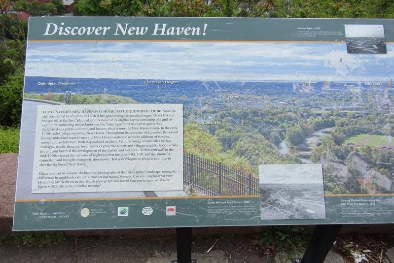
Discover New Haven!
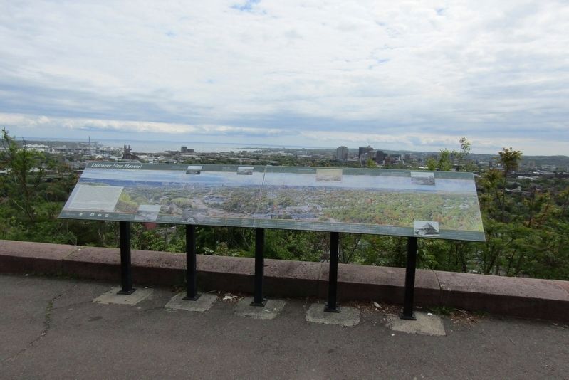
Photographed by Conrad Ward, May 11, 2024
1. Discover New Haven! Marker
For centuries New Haven was home to the Quinnipiac Tribe. Since the city was settled by Puritans in 1638 it has gone through dramatic changes. New Haven is recognized as the first "planned city" because of its original layout consisting of a grid of eight interconnecting streets known as the "nine squares." The central square was designated as a public common and became what is now the New Haven Green. In the early 1700s Yale College moved to New Haven. Throughout its centuries-old presence the school has expanded and transformed the New Haven landscape with the addition of steeples, towers and architecture, both classical and modern. Manufacturing in industries such as carriages, clocks, firearms, toys, and beer gave rise to new and vibrant neighborhoods across the city and fostered the development of the harbor and rail lines. "Urban renewal" in the mid-1900s created the network of highways that includes 1-95, 1-91 and the Route 34 connector, and brought changes to downtown. Today development projects continue to alter the skyline of New Haven.
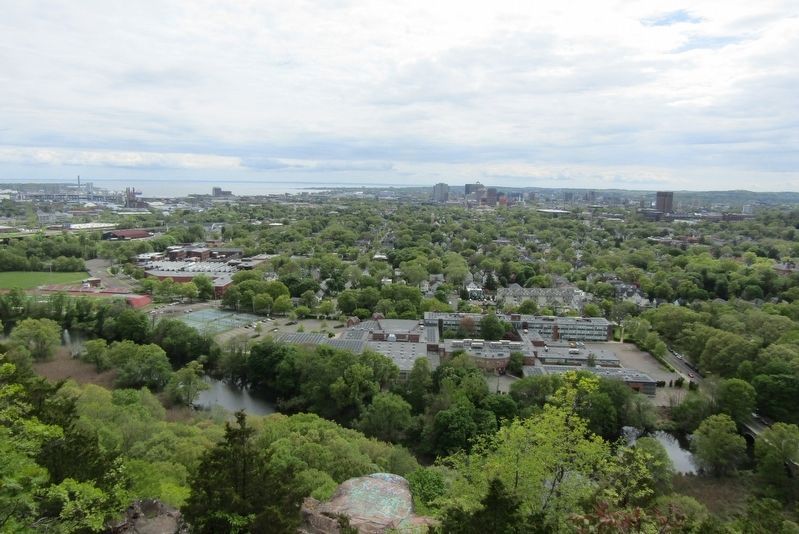
Take a moment to compare the historical photographs of the city to today's
this page online
Cedar Hill and Fair Haven c. 1880
The intersection of View and Rock streets was the original entrance to the park. Cedar Hill was not yet fully developed and Erector Square, the former A.C. Gilbert factory, had not been built.
Harbor View c. 1903
A view toward Fair Haven and the heavily developed harbor section of Wooster Square. The neighborhood of Cedar Hill is to the immediate left.
View of Mitchell Drive along the Mill River floodplain c. 1930
East Rock had been developed considerably by 1930. Marlin Firearms and light industry in the area were crucial to this growth. In this view neither Interstate 91 nor Wilbur Cross High School and its recreational fields had been built.
New Haven from East Rock 1853
New Haven in 1853 was far more centralized around the New Haven Green than the city is today. East Rock was considered to be well in the country from downtown. East Rock Park
Photographed by Conrad Ward, May 11, 2024
2. Discover New Haven! Marker
View over Whitneyville c. 1900
The view north toward Lake Whitey depicts a pavilion built from the plans produced by East Rock Park designer Donald Grant Mitchell. Mitchell Drive is named in his honor.
Pavilion c. 1890
The raised stone platform to the right of you was the foundation for the refreshment house that featured a small restaurant and viewing area. Before the advent of the automobile the summit was accessible by carriage, horse, foot, or bicycle.
Panoramic photography by Enzo Figueres. Inset photographs courtesy of the New Haven Museum.
With special thanks to Justin Elicker, Dan Barvir, David Shimchick, Jason Bischoff-Wurstle, David Heiser, and Sally Pallatto.
We gratefully acknowledge Robert Ibbotson and Jody Sindelar for their generous support of this kiosk.
Yale Peabody Museum of Natural History
The Honorable John DeStefano, Jr., Mayor
New Haven Parks and Recreation
Friends of East Rock Park
New Haven Museum
Topics. This historical marker is listed in this topic list: Settlements & Settlers.
Location. 41° 19.626′ N, 72° 54.323′ W.

Photographed by Conrad Ward, May 11, 2024
3. Discover New Haven! Marker

Regionally, this marker is in the Connecticut River Valley and on the Connecticut Shoreline. It is also in the American Northeast, in New England, and on the Eastern Seaboard. Globally, it is in the North Atlantic Region, North America, the Western Hemisphere, the Western World, and the Anglosphere. Historically, it finds itself in what was once New Haven County and also one of the original Thirteen Colonies.
Other nearby markers. At least 8 other markers are within walking distance of this marker: Soldiers' and Sailors' Monument (within shouting distance of this marker); a different marker also named Soldiers and Sailors Monument (within shouting distance of this marker); Rock Lane Bridge (approx. 0.3 miles away); Pardee Rose Garden (approx. 0.6 miles

Photographed by Conrad Ward, May 11, 2024
4. Discover New Haven! Marker
Also see . . .
1. New Haven, Connecticut (Wikipedia). (Submitted on August 5, 2024, by Conrad Ward of Guilford, Connecticut.)
2. East Rock (Wikipedia). Park in New Haven (Submitted on August 5, 2024, by Michael Herrick of Southbury, Connecticut.)

Photographed by Conrad Ward, May 11, 2024
5. Discover New Haven! Marker
Photographed by Conrad Ward, May 11, 2024
6. City of New Haven
Credits. This page was last revised on May 19, 2026. It was originally submitted on August 1, 2024, by Conrad Ward of Guilford, Connecticut. This page has been viewed 234 times since then and 19 times this year. Photos: 1, 2, 3, 4, 5, 6. submitted on August 1, 2024, by Conrad Ward of Guilford, Connecticut. • Michael Herrick was the editor who published this page.
