Northborough in Worcester County, Massachusetts — The American Northeast (New England)
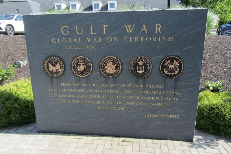
Gulf War
Global War on Terrorism
Photographed by Conrad Ward, May 28, 2024
1. Gulf War Marker
2 August 1990 —
From the bitter cold winter at Valley Forge, to the mountains of Afghanistan and the deserts of Iraq, our soldiers have courageously answered when called, gone where ordered, and defended our nation with honor.
Solomon Ortiz
(nearby plaque)
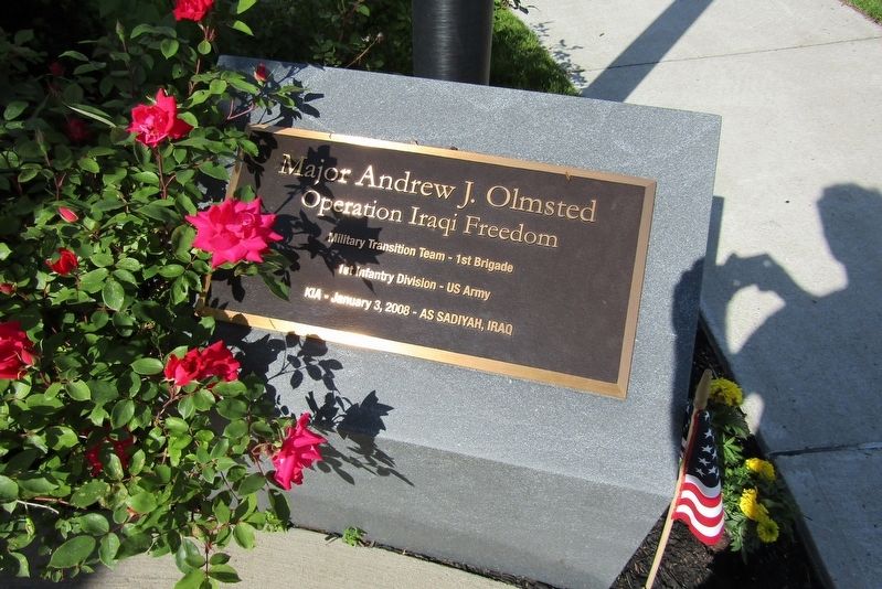
Major Andrew J. Olmsted
Operation Iraqi Freedom
Military Transition Team - 1st Brigade
1st Infantry Division - US Army
KIA - January 3, 2008 - As Sadiyah, Iraq
(nearby plaque)
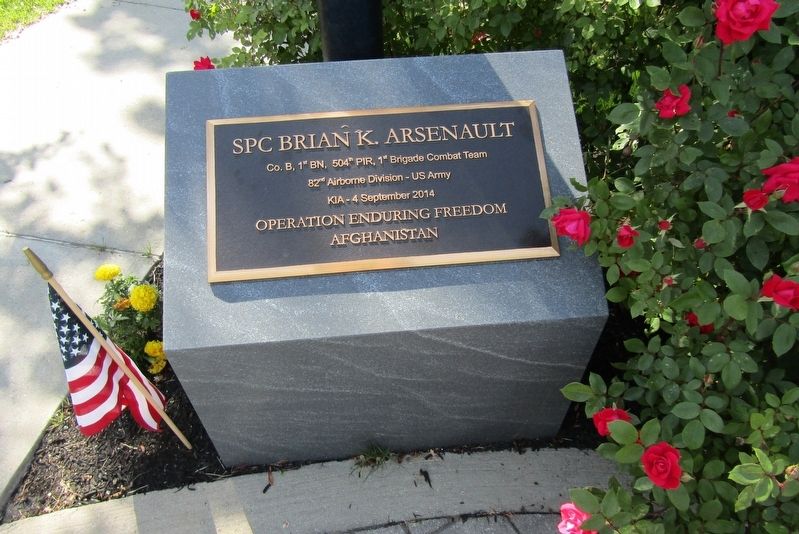
SPC Brian K. Arsenault
Co. B, 1st BN, 504th PIR, 1st Brigade Combat Team
82nd Airborne Division - US Army
KIA - 4 September 2014
Operation Enduring Freedom
Afghanistan
Topics. This historical marker is listed in these topic lists: War, 1st Iraq & Desert Storm • War, 2nd Iraq • War, Afghanistan. A significant historical date for this entry is August 2, 1990.
Location. 42° 19.167′ N, 71° 38.7′ W. Marker is in Northborough, Massachusetts, in Worcester County. It is at the intersection of W Main Street (U.S. 20) and Monroe Street, on the left when traveling north on W Main Street. Touch for map. Marker is in this post office area: Northborough MA 01532, United States of America. Touch for directions.

Regionally,
this page online
Other nearby markers. At least 8 other markers are within walking distance of this marker: The Soldiers Monument. (a few steps from this marker); Cold Harbor Brook Bridge (about 600 feet away, measured in a direct line); PFC. Neil R. Ellsworth (about 700 feet away); Northborough World War I Memorial (about 700 feet away); Boston Post Road (about 800 feet away); Northborough's First and Second Meeting House (approx. 0.2 miles away); Gale Library Building (approx. ¼ mile away); Old Burial Map of the Howard Street Cemetery (approx. ¼ mile away). Touch for a list and map of all markers in Northborough.
Photographed by Conrad Ward, May 28, 2024
2. Major Andrew J. Olmsted
Photographed by Conrad Ward, May 28, 2024
3. SPC Brian K. Arsenault
Photographed by Conrad Ward, May 28, 2024
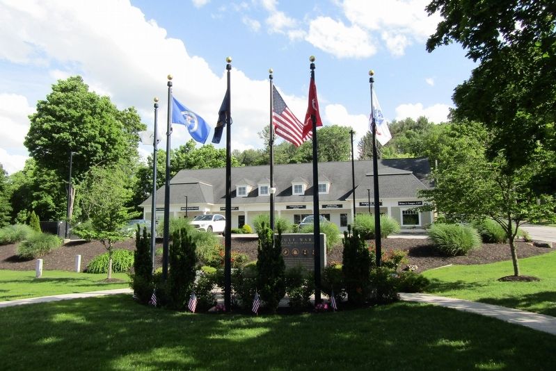
4. Gulf War Marker
Credits. This page was last revised on August 6, 2024. It was originally submitted on August 2, 2024, by Conrad Ward of Guilford, Connecticut. This page has been viewed 138 times since then and 14 times this year. Photos: 1, 2, 3, 4. submitted on August 2, 2024, by Conrad Ward of Guilford, Connecticut. • Michael Herrick was the editor who published this page.
