Derby in Sedgwick County, Kansas — The American Midwest (Upper Plains)
El Paso Business District
Derby Historic Landmark
Photographed by Mark Hilton, July 1, 2024
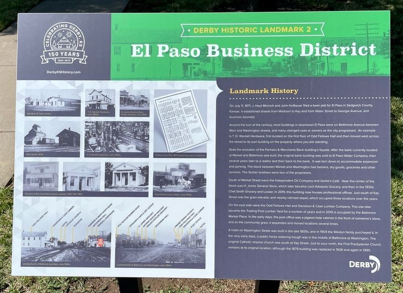
1. El Paso Business District Marker
Around the turn of the century, most buildings in downtown El Paso were on Baltimore Avenue between Main and Washington streets, and many changed uses or owners as the city progressed. An example is T. D. Wardell Hardware, first located on the first floor of Odd Fellows Hall and then moved west across the street to its own building on the property where you are standing.
Note the evolution of the Farmers & Merchants Bank building’s facade. After the bank currently located at Market and Baltimore was built, the original bank building was sold to El Paso Water Company, then several years later to a realtor and then back to the bank. It was torn down to accommodate expansion and parking. The block between Market and Washington had barbers, dry goods, groceries and other services. The Sickler brothers were two of the proprietors.
South of Market Street were the Independent Oil Company and Gertie’s Café.
this page online
On the east side were the Odd Fellows Hall and Davidson & Case Lumber Company. This site later became the Trading Post Lumber Yard for a number of years and in 2019 is occupied by the Baltimore Market Place. In the early days, the post office was a pigeon-hole cabinet in the front of someone’s store, and as the community grew, it expanded and moved locations several times.
A hotel on Washington Street was built in the late 1800s, and in 1904 the Weston family purchased it. In the very early days, a public horse watering trough was in the middle of Baltimore at Washington. The original Catholic mission church was south at Kay Street. Just to your north, the First Presbyterian Church remains at its original location, although the 1879 building was replaced in 1926 and again in 1990.
Erected 2019 by the
Photographed by Mark Hilton, July 1, 2024
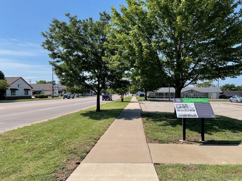
2. El Paso Business District Marker looking south on Baltimore Ave.
Topics. This historical marker is listed in this topic list: Industry & Commerce. A significant historical date for this entry is July 11, 1871.
Location. 37° 32.723′ N, 97° 16.221′ W. Marker is in Derby, Kansas, in Sedgwick County. It is at the intersection of North Baltimore Avenue and West Main Street, on the right when traveling south on North Baltimore Avenue. Touch for map. Marker is at or near this postal address: 229 N Baltimore Ave, Derby KS 67037, United States of America. Touch for directions.

Regionally, this marker is in Greater Wichita. It is also in the American Midwest, in the Corn Belt, on the prairies, and on the Southern Plains. Globally, it is in North America, the Western Hemisphere, the Western World, and the Anglosphere. Historically, it finds itself in what was once the Louisiana Purchase.
Other nearby markers. At least 8 other markers are within 10 miles of this marker, measured as the crow flies: Arkansas River Crossing (approx. ¼ mile away); The Santa Fe & St. Mary Bell (approx. 0.4 miles away); Derby Public School & Museum (approx. 0.4 miles away); El Paso Cemetery (approx.
Photographed by Mark Hilton, July 1, 2024
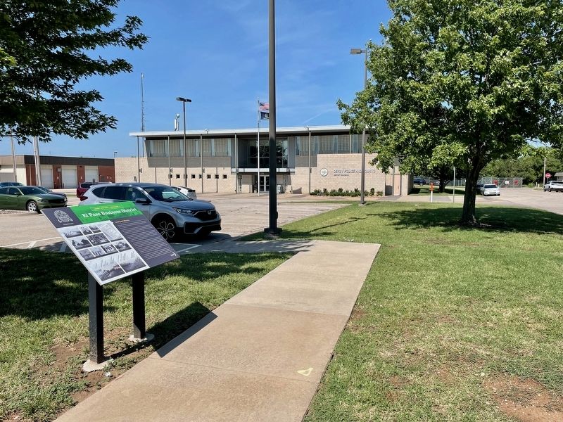
3. View from Marker of Derby Police & Courts building.
Credits. This page was last revised on August 2, 2024. It was originally submitted on August 2, 2024, by Mark Hilton of Montgomery, Alabama. This page has been viewed 145 times since then and 18 times this year. Photos: 1, 2, 3. submitted on August 2, 2024, by Mark Hilton of Montgomery, Alabama.
