Bury St Edmunds in Suffolk, England, United Kingdom — Northwestern Europe (the British Isles)
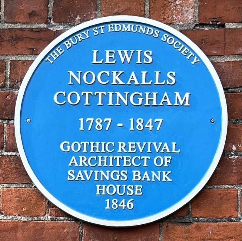
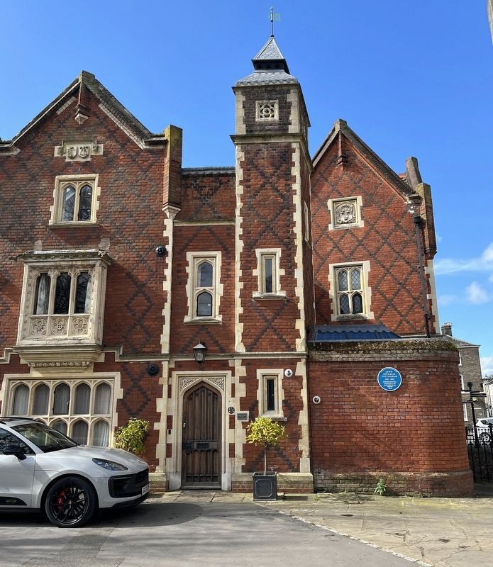
Lewis Nockalls Cottingham
Photographed by Ray Gurganus, March 27, 2024
1. Lewis Nockalls Cottingham Marker
1787-1847
Gothic Revival
Architect of
Savings Bank
House
1846
Erected 2012 by Bury St Edmunds Society.
Topics. This historical marker is listed in this topic list: Architecture. A significant historical year for this entry is 1846.
Location. 52° 14.61′ N, 0° 43.013′ E. Marker is in Bury St Edmunds, England, in Suffolk. It can be reached from no nearby street. Touch for map. Marker is in this post office area: Bury St Edmunds, England IP33 1QX, United Kingdom. Touch for directions.

Regionally, this marker is in East Anglia. Globally, it is on the Atlantic Ocean, in the North Atlantic Region, in Europe, in Atlantic Europe, on one of the British Isles, in the Western World, and in the Anglosphere. Historically, it finds itself in what was once the Roman Empire.
Other nearby markers. At least 8 other markers are within walking distance of this marker: The West Front (a few steps from this marker); The Church Gate (within shouting distance of this marker); Captain Bartholomew Gosnold (about 90 meters away, measured in a direct line); The Cloister (about 120 meters away); Charles Dickens (about 120
this page online
Photographed by Ray Gurganus, March 27, 2024
2. Lewis Nockalls Cottingham Marker
Credits. This page was last revised on June 24, 2026. It was originally submitted on August 2, 2024, by Ray Gurganus of Washington, District of Columbia. This page has been viewed 116 times since then and 8 times this year. Photos: 1, 2. submitted on August 2, 2024, by Ray Gurganus of Washington, District of Columbia. • Andrew Ruppenstein was the editor who published this page.
