
Longueval in Somme, Upper France, France — Western Europe
The Last Tree
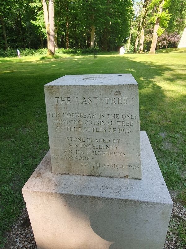
Photographed by J. Makali Bruton, June 10, 2024
1. The Last Tree Marker

This hornbeam is the only surviving original tree of the Battles of 1916
Stone place by his Excellency Mr. Ha Geldenhuys
Ambassador – South Africa
Le Dernier Arbe
Ce charme est le seul arbre survivant des combats de 1916
Pierre posse par son Excellence M. Ha Geldenhuys
Ambassadeur – D’Afrique du Sud
1988
Die Laaste Boom
Hierdie haagbeuk is die enigste boom what die slag van 1916 oorleef het
Steen gele deur sy Eksellensie Mrnr. Ha Geldenhuys
Ambassadeur – Suid-Afrika
Erected 1988.
Topics. This memorial is listed in this topic list: War, World I. A significant historical year for this entry is 1916.
Location. 50° 1.656′ N, 2° 48.706′ E. Memorial is in Longueval, Hauts-de-France (Upper France), in Somme. It can be reached from Route de Ginchy east of Route D20, on the left when traveling east. Touch for map. Memorial is in this post office area: Longueval, Hauts-de-France 80360, France. Touch for directions.

Regionally, it is in the North Atlantic Region, Europe, the European Union, Atlantic Europe, the Schengen Area, Western Europe, a coastal Mediterranean country, and the Western
this page online
Other nearby markers. At least 8 other markers are within 5 kilometers of this marker, measured as the crow flies: South African Infantry Headquarters Trench (within shouting distance of this marker); Delville Wood South African National Memorial (about 120 meters away, measured in a direct line); Delville Wood Cemetery (approx. half a kilometer away); Longueval War Memorial (approx. 0.6 kilometers away); Pipers Memorial (approx. 0.6 kilometers away); Bazentin (approx. 3.6 kilometers away); The Welsh Memorial of Mametz (approx. 4.2 kilometers away); The Battle for Mametz Wood (approx. 4.2 kilometers away). Touch for a list and map of all markers in Longueval.
Also see . . . Battle of Delville Wood at Wikipedia. (Submitted on August 4, 2024.)
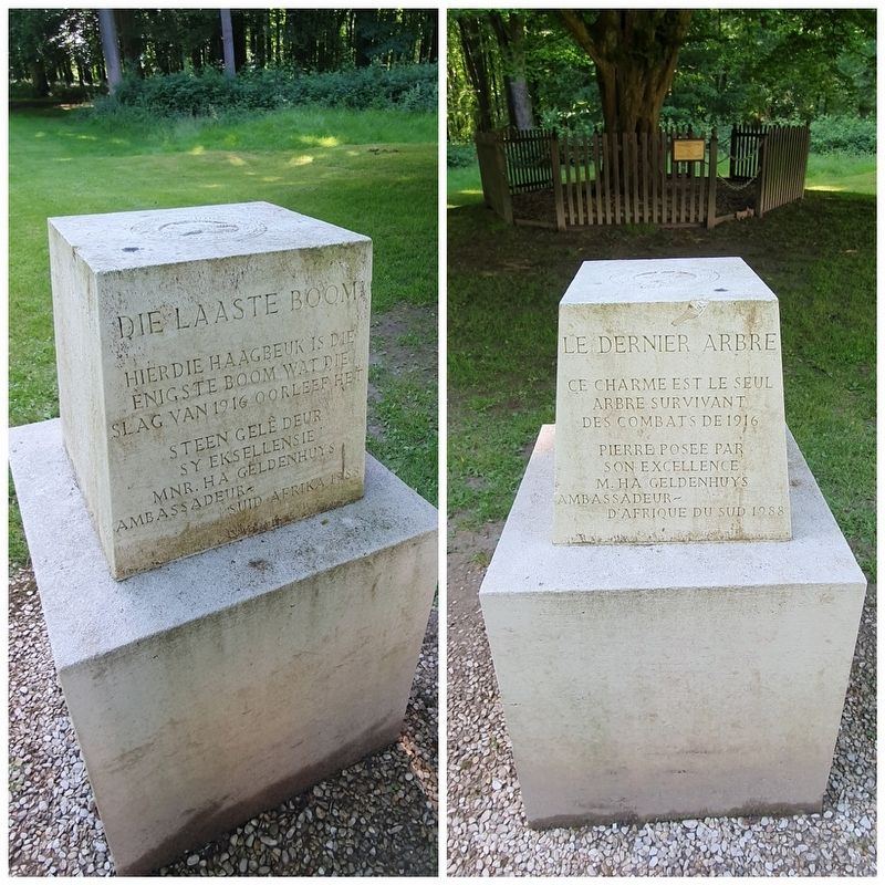
Photographed by J. Makali Bruton
2. The Last Tree Marker
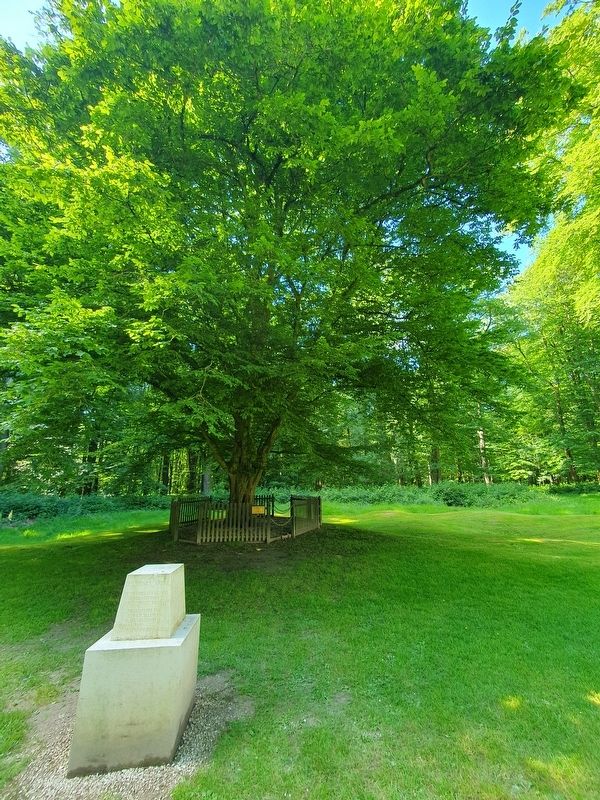
Photographed by J. Makali Bruton, June 10, 2024
3. The Last Tree and Marker
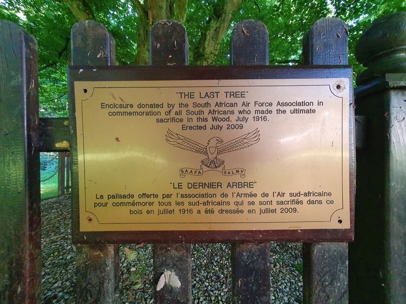
Photographed by J. Makali Bruton, June 10, 2024
4. The Last Tree Fence Donation Tablet
This additional memorial from the South African Air Force Association notes the donation of a protective fence for the "Last Tree" in 2009.
Credits. This page was last revised on February 15, 2025. It was originally submitted on August 4, 2024, by J. Makali Bruton of Washington, District of Columbia. This page has been viewed 172 times since then and 36 times this year. Photos: 1, 2, 3, 4. submitted on August 4, 2024, by J. Makali Bruton of Washington, District of Columbia.
