Near Rutherfordton in Rutherford County, North Carolina — The American South (South Atlantic)
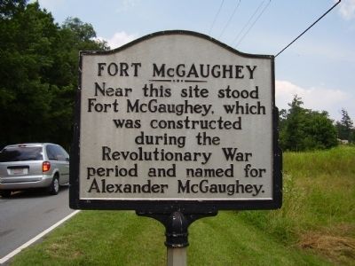
Fort McGaughey
Photographed by Stanley and Terrie Howard, June 27, 2009
1. Fort McGaughey Marker
Topics. This historical marker is listed in this topic list: War, US Revolutionary.
Location. Marker is missing. It was located near 35° 27.276′ N, 81° 53.216′ W. Marker was near Rutherfordton, North Carolina, in Rutherford County. It was on U.S. 64 0.1 miles south of Pearidge Road, on the right when traveling north. Touch for map. Marker was in this post office area: Rutherfordton NC 28139, United States of America. Touch for directions.

Regionally, this marker was in North Carolina’s Mountains. It was also in the American South, specifically in the Upper South, in Appalachia, and specifically in Southern Appalachia. Globally, it was in North America, the Western Hemisphere, the Western World, and the Anglosphere. Historically, it found itself in what was once the territory of the Mississippian Culture, one of the original Thirteen Colonies, one of the Confederate States of America, and the Antebellum South.
Other nearby markers. At
this page online
Another marker is no longer nearby. Brittain Presbyterian Church, circa 1768 (was about 400 feet away but has been confirmed missing).
Photographed by Stanley and Terrie Howard, June 27, 2009
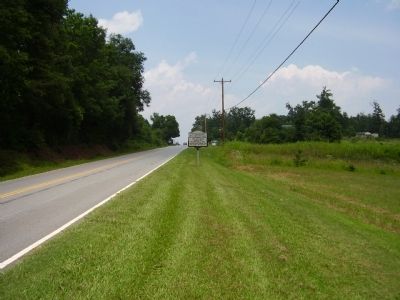
2. Fort McGaughey Marker
Photographed by Mark Parker, August 4, 2024
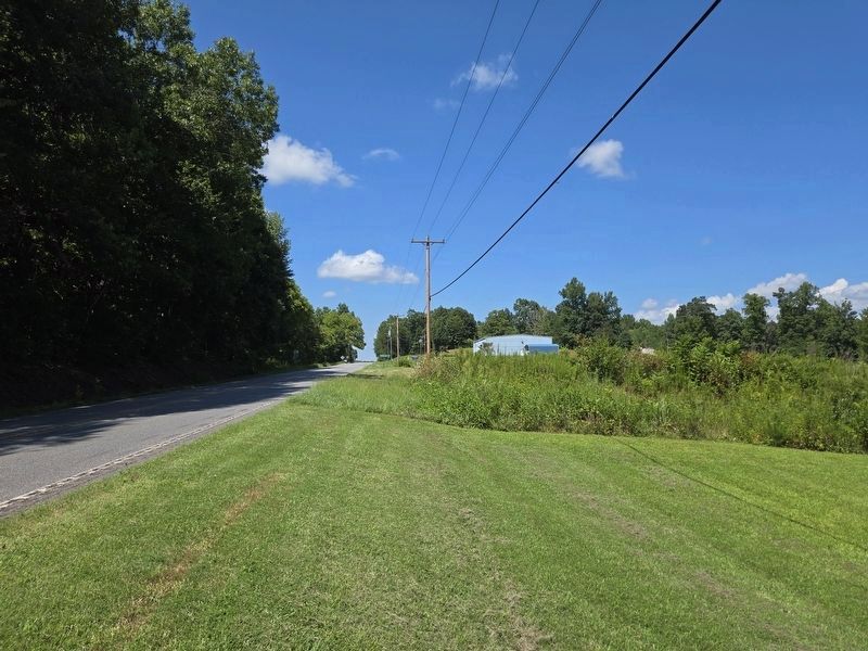
3. Fort McGaughey Marker missing from previous spot looking along US 64
Credits. This page was last revised on August 5, 2024. It was originally submitted on June 28, 2009, by Stanley and Terrie Howard of Greer, South Carolina. This page has been viewed 3,037 times since then and 109 times this year. Last updated on August 5, 2024, by Mark Parker of Hickory, North Carolina. Photos: 1, 2. submitted on June 28, 2009, by Stanley and Terrie Howard of Greer, South Carolina. 3. submitted on August 5, 2024, by Mark Parker of Hickory, North Carolina. • Bernard Fisher was the editor who published this page.
