Glasgow in Beaver County, Pennsylvania — The American Northeast (Mid-Atlantic)
Down The Ohio
In 1803
| — | September 4th | — |
Photographed by Craig Doda, July 3, 2021
1. Down The Ohio Marker
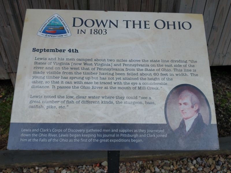
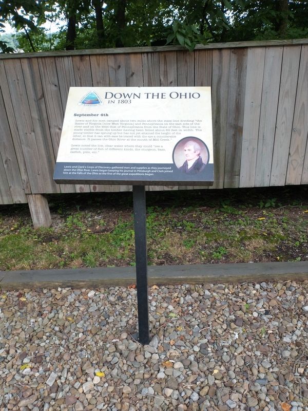
Lewis and his men camped about two miles above the state line dividing “the States of Virginia [now West Virginia] and Pennsylvania on the east side of the river and on the west that of Pennsylvania from the State of Ohio. This line is made visible from the timber having been felled about 60 feet in width. The young timber has sprung up but has not yet attained the height of the other, so that it can with ease be traced with the eye a considerable distance. It passes the Ohio River at the mouth of Mill Creek."
Lewis noted the low, clear water where they could "see a great number of fish of different kinds, the sturgeon, bass, catfish, pike, etc."
[Sidebar:]
Lewis and Clark's Corps of Discovery gathered men and supplies as they journeyed down the Ohio River. Lewis began keeping his journal in Pittsburgh and Clark joined him at the Falls of the Ohio as the first of the great expeditions began.
Topics and series. This historical marker is listed in this topic list: Exploration. In addition, it is included in the Lewis & Clark Expedition series list. A significant historical date for this entry is September 4, 1803.
Location. 40° 38.55′ N, 80° 31.135′ W.
this page online

Regionally, this marker is in Greater Pittsburgh. It is also in the American Northeast, in the Mid-Atlantic, and in the Ohio River Valley. Globally, it is in North America, the Western Hemisphere, the Western World, and the Anglosphere. Historically, it finds itself in what was once the Haudenosaunee (Iroquois) Confederacy and also one of the original Thirteen Colonies.
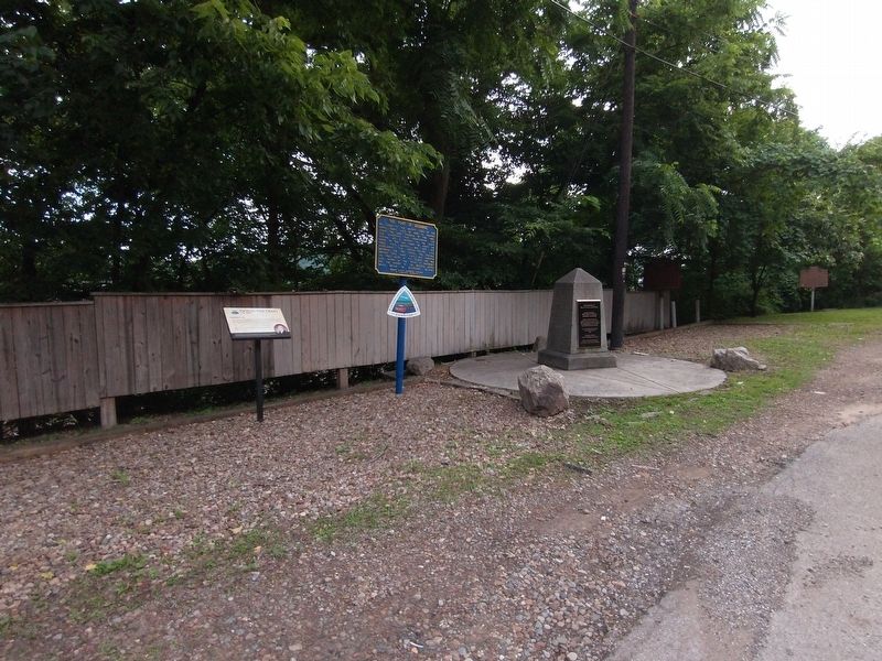
Other nearby markers. At least 8 other markers are within one mile of this marker, measured as the crow flies: The Point of Beginning (here, next to this marker); Gateway To The Northwest (a few steps from this marker in Ohio); Land Ordinance of 1785 / The Seven Ranges (a few steps from this marker in Ohio); Beginning Point of the U. S. Public Land Survey (a few steps from this marker in Ohio); The Sandy and Beaver Canal (approx. 0.4 miles away); Smiths Ferry
Photographed by Craig Doda, July 3, 2021
2. Down The Ohio Marker
Another marker is no longer nearby. First Paper Mill / Little Beaver Creek Bridge (was approx. 0.9 miles away in Ohio but has been confirmed missing).
Photographed by Craig Doda, July 3, 2021
3. Down The Ohio Marker
Credits. This page was last revised on August 7, 2024. It was originally submitted on July 11, 2021, by Craig Doda of Napoleon, Ohio. This page has been viewed 447 times since then and 44 times this year. Last updated on August 6, 2024. Photos: 1, 2, 3. submitted on July 11, 2021, by Craig Doda of Napoleon, Ohio. • Devry Becker Jones was the editor who published this page.
