Alamogordo in Otero County, New Mexico — The American Mountains (Southwest)
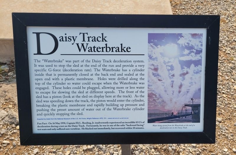
Daisy Track Waterbrake
Photographed by James Hulse, July 24, 2024
1. Daisy Track Waterbrake Marker
Fun Fact: On 16 May 1958, Captain Eli L. Beeding, Jr. inadvertently experienced an incredible 83 G's of deceleration during a test on the Daisy Track. Fortunately, he was in one of the safer "backward facing" test seats and only suffered sore vertebrae. He blacked out immediately, but recovered
this page online
Captions
Water being ejected from the Waterbrake at the end of a deceleration test on the Daisy Track.
Acquired by trade from the National Museum of the U.S. Air Force, Wright-Patterson AFB, OH-NMMSH #87.003.007 and 887.003.039
Erected by New Mexico Museum of Space History.
Topics. This historical marker is listed in this topic list: Air & Space. A significant historical date for this entry is May 16, 1958.
Location. 32° 55.236′ N, 105° 55.208′ W. Marker is in Alamogordo, New Mexico, in Otero County. It is on State Route 2001 0.4 miles east of N Scenic Drive. The marker is located on the grounds of the New Mexico Museum of Space History. Touch for map. Marker is at or near this postal address: 3198 State Rte 2001, Alamogordo NM 88310, United States of America. Touch for directions.

Regionally, this marker is in New Mexico’s Pecos Valley. It is also in the American Borderlands and in the Southwest. Globally, it is in North America, the Western Hemisphere, the Western World, and the Anglosphere. Historically, it finds itself in what was once New Spain, the Comanchería, and the Republic of Texas.
Photographed by James Hulse, July 24, 2024
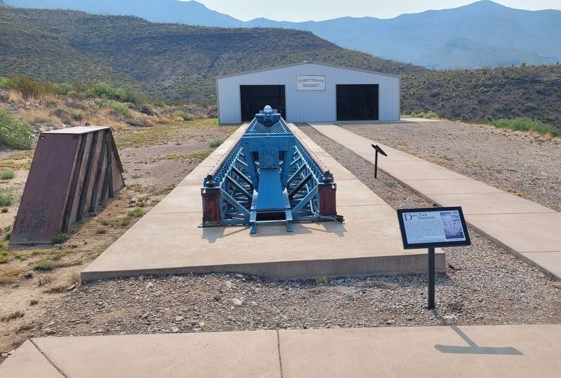
2. The Daisy Track Waterbrake and Marker
Other nearby markers. At least 8 other markers are within walking distance of this marker: Daisy Track (here, next to this marker); LA 2,000,000 (within shouting distance of this marker); World's First Astrochimp Ham (within shouting distance of this marker); F-117A "Nighthawk" Ingress/Egress Trainer (about 300 feet away, measured in a direct line); Thor Engine with Cradle/Transporter (about 300 feet away); H-1 Rocket Engine (about 300 feet away); Apollo Command Module Boilerplate S/N 1207 (about 300 feet away); X-8C Aerobee (about 300 feet away). Touch for a list and map of all markers in Alamogordo.
Credits. This page was last revised on August 11, 2024. It was originally submitted on August 8, 2024, by James Hulse of Medina, Texas. This page has been viewed 260 times since then and 33 times this year. Photos: 1, 2. submitted on August 9, 2024, by James Hulse of Medina, Texas.
