Near Schuylerville in Saratoga County, New York — The American Northeast (Mid-Atlantic)
Find the Americans' Weakness
Photographed by Steve Stoessel, July 25, 2024
1. Find the Americans' Weakness Marker
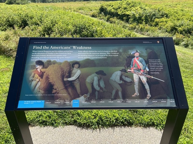
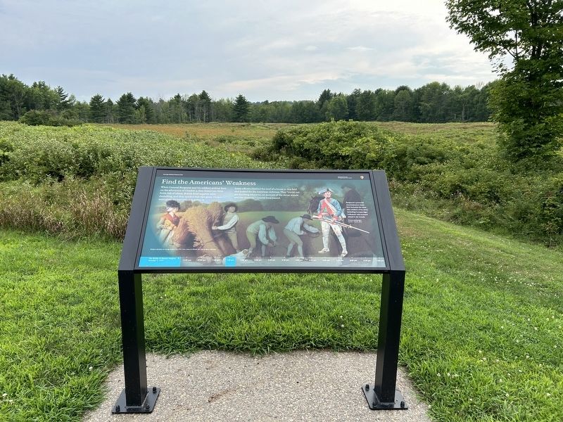
When General Burgoyne and his soldiers arrived here on the afternoon of October 7, they found two farm fields full of wheat. British food supplies were dwindling, and they needed that ripe grain. Orders were given for harvesters to gather it.
Some officers climbed the roof of a house in this fieldand looked for the American defenses. They "could not see anything whatever, on account of the dense woods and the distance." Crucial time passed.
Burgoyne's powerful reconnaissance force here included the most elite soldiers of his army, including German jäger (riflemen) who scouted ahead in the woods. Braunschweig Jäger by Dan Trioani, 2014
Reapers (detail) by George Stubbs, RA, 1795, Yale Center for British Art
Erected 2024 by Saratoga National Historical Park.
Topics. This historical marker is listed in this topic list: War, US Revolutionary. A significant historical date for this entry is October 7, 1777.
Location. 43° 0.078′ N, 73° 38.792′ W. Marker is near Schuylerville, New York, in Saratoga County. It can be reached from Saratoga National Battlefield Road. This is the first marker on the path from the parking area for
this page online

Regionally, this marker is in Upstate New York, in the Capital District, and in the Albany Metropolitan Area. It is also in the American Northeast and in the Mid-Atlantic. Globally, it is in North America, the Great North Woods, the Western Hemisphere, the Western World, and the Anglosphere. Historically, it finds itself in what was once New Netherland and also one of the original Thirteen Colonies.
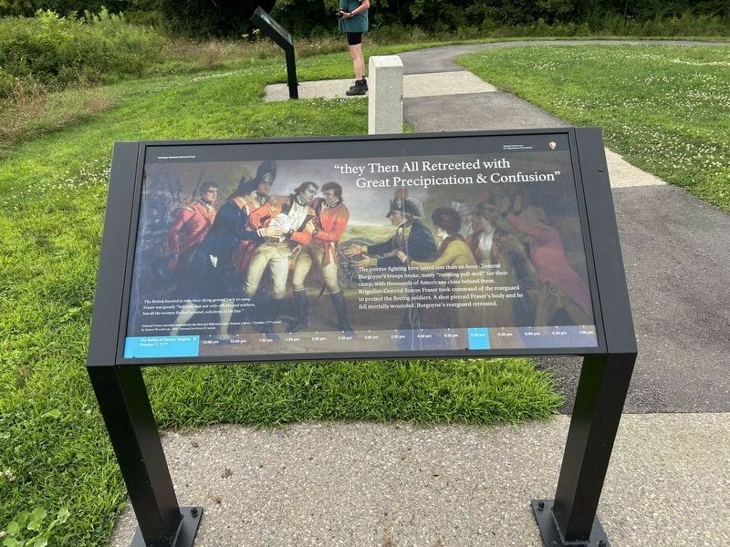
Other nearby markers. At least 8 other markers are within walking distance of this marker: "they Then All Retreeted with Great Preciptation & Confusion" (here, next to this marker); 'Let me have some men & we will have some Fun" (a few steps from this marker); “the action became very hot” (a few steps from this marker); “all was irretrievably lost” (within shouting distance of this marker); “exulting in the capture” (within shouting distance of this marker); a different marker also named The Second Battle Begins (within shouting distance of this marker); Brig. Gen. Abraham Ten Broeck (within
Photographed by Steve Stoessel, August 3, 2024
2. Find the Americans' Weakness Marker
Other markers no longer nearby. The British Advance on Bemis Heights (was here, next to this marker but has been permanently removed); The Second Battle Begins (was a few steps from this marker but has been permanently removed); The British Withdraw (was a few steps from this marker but has been permanently removed); General Fraser Was Struck (was within shouting distance of this marker but has been permanently removed); Colonel Joseph Cilly (was within shouting distance of this marker but has been permanently removed); The Battle Begins at Barber’s Wheat Field (was within shouting distance of this marker but has been permanently removed).
Also see . . . Battles of Saratoga (Wikipedia). (Submitted on August 9, 2024, by Steve Stoessel of Niskayuna, New York.)
Photographed by Steve Stoessel, August 3, 2024
3. Side View of Marker
Photographed by Steve Stoessel, August 3, 2024
4. Start of Tour Stop #5
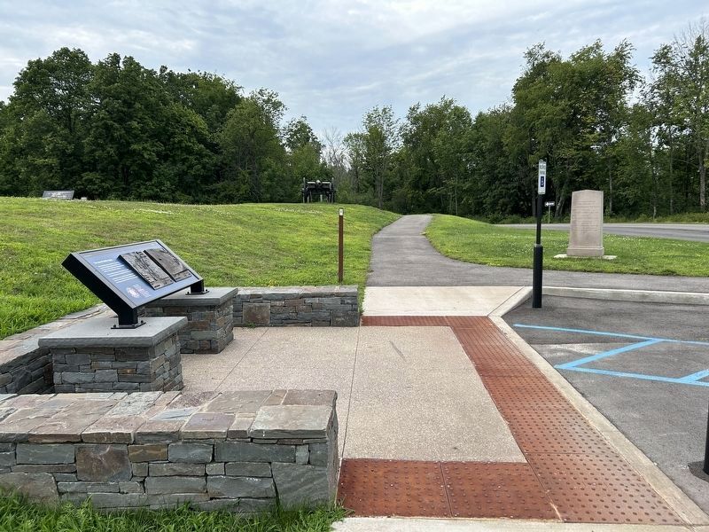
The path tomarkers at Tour Stop #5. At the top of the hill in the background, the Simon Fraser and American's Weakness markers can be seen. Overlooking the The Second Battle Begins marker.
Credits. This page was last revised on August 11, 2024. It was originally submitted on August 9, 2024, by Steve Stoessel of Niskayuna, New York. This page has been viewed 215 times since then and 21 times this year. Photos: 1, 2, 3, 4. submitted on August 9, 2024, by Steve Stoessel of Niskayuna, New York.
