Chester in Cheshire West and Chester, England, United Kingdom — Northwestern Europe (the British Isles)
North Eastern Chapel
The Church of St John the Baptist
Photographed by Ray Gurganus, April 9, 2024
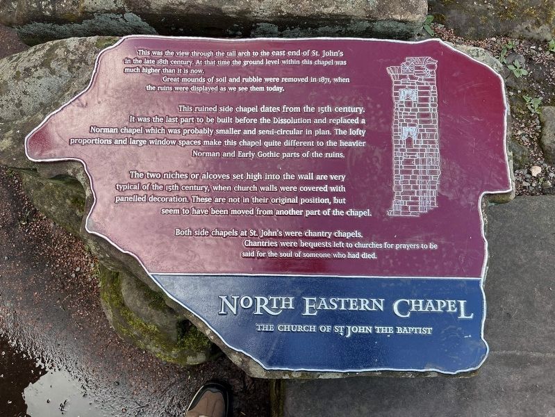
1. North Eastern Chapel Marker
Great mounds of soil and rubble were removed in 1871, when the ruins were displayed as we see them today.
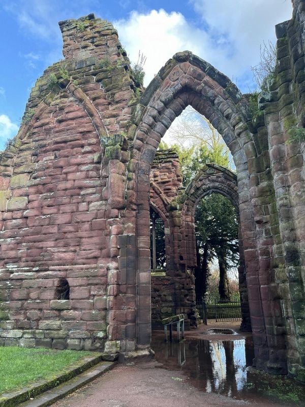
This ruined side chapel dates from the 15th century. It was the last part to be built before the Dissolution and replaced a Norman chapel which was probably smaller and semi-circular in plan. The lofty proportions and large window spaces make this chapel quite different to the heavier Norman and Early Gothic parts of the ruins.
The two niches or alcoves set high into the wall are very typical of the 15th century, when church walls were covered with panelled decoration. These are not in their original position, but seem to have been moved from another part of the chapel.
Both side chapels at St. John's were chantry chapels. Chantries were bequests left to churches for prayers to be said for the soul of someone who had died.
Topics. This historical marker is listed in these topic lists: Architecture • Religion & Religious Structures.
Location. 53° 11.357′ N,
this page online

Regionally, this marker is in North West England. Globally, it is on the Atlantic Ocean, in the North Atlantic Region, in Europe, in Atlantic Europe, on one of the British Isles, in the Western World, and in the Anglosphere. Historically, it finds itself in what was once the Roman Empire.
Other nearby markers. At least 8 other markers are within walking distance of this marker: South Eastern Chapel (a few steps from this marker); Ruins of the Church of St John the Baptist (a few steps from this marker); Eastern Ruins (a few steps from this marker); The Chapter House (a few steps from this marker); The Church of St John the Baptist (within shouting distance of this marker); a different marker also named The Church of St John the Baptist (within shouting distance of this marker); North West Tower (within shouting distance of this marker); Roman Amphitheatre (about 120 meters
Photographed by Ray Gurganus, April 9, 2024
2. Ruins of St John the Baptist Church
Credits. This page was last revised on June 19, 2026. It was originally submitted on August 9, 2024, by Ray Gurganus of Washington, District of Columbia. This page has been viewed 132 times since then and 17 times this year. Photos: 1, 2. submitted on August 9, 2024, by Ray Gurganus of Washington, District of Columbia. • Andrew Ruppenstein was the editor who published this page.
