
Givenchy-en-Gohelle in Pas-de-Calais, Upper France, France — Western Europe
Canadian National Vimy Memorial
Photographed by J. Makali Bruton, June 11, 2024
1. Canadian National Vimy Memorial
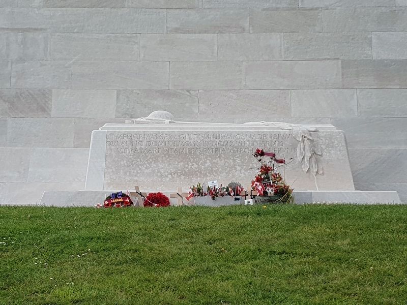
A symbolic grave at the memorial includes a Latin inscription.

English translation
In memory of the sixty thousand Canadians who gave their lives for their country in the years 1914-1918 in arms overseas
To the valour of their country-men in the Great War and in memory of their sixty thousand dead this monument is raised by the people of Canada
A la vaillance de ses fils pendant la grande guerre et en memoire de ses soixante mille morts le peuple Canadien a eleve ce monument
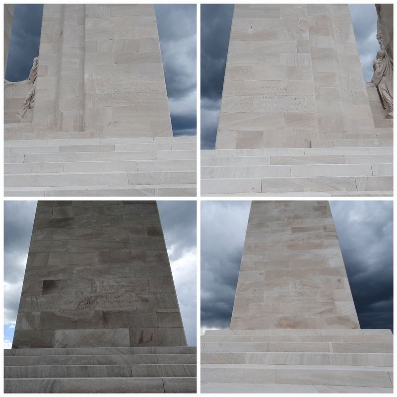
1915--Ypres--Gravenstafel--St. Julien—Frezenberg
Bellewaarde--Festubert-Givench--1916—Steloi
Mount Sorrel—Somme--Bazentin—Pozieres
Flers--Courcelette--Thiepval--Ancre Heights—Ancre
1917--Arras--Vimy--La Coulotte--Arleux-Scarpe
Souchez River--Messines--Hill 70--Ypres—Pilckem
Langemarck--Menin Road--Polygon Wood-Broodsende
Poelcappell--Passchendaele--Cambrai
1918--Somme--St. Quentin--Bapaume--Rosieres—Arras
Moreuil Wood--Avre—Amiens—Damery--Albert—Scarpe
Drocourt-Queant--Hindenburg Line—Epehy
Canal du Nord--St. Quentin Canal--Beaurevoir
Cambrai-- Sell--Valencienne--Sambre
Grande
this page online
Erected 1936.
Topics. This historical marker and memorial is listed in this topic list: War, World I.
Location. 50° 22.789′ N, 2° 46.452′ E. Marker is in Givenchy-en-Gohelle, Hauts-de-France (Upper France), in Pas-de-Calais. It is on Chemin des Canadiens. Touch for map. Marker is at or near this postal address: 5 Chem des Canadiens, Givenchy-en-Gohelle, Hauts-de-France 62580, France. Touch for directions.

Regionally, it is in the North Atlantic Region, Europe, the European Union, Atlantic Europe, the Schengen Area, Western Europe, a coastal Mediterranean country, and the Western World. Historically, it finds itself in what was once a French colony and also the Roman Empire.
Other nearby markers. At least 8 other markers are within 5 kilometers of this marker, measured as the crow flies: Vimy Ridge and Canadians During the First World War (approx. 0.3 kilometers away); Moroccan Division Memorial (approx. 0.3 kilometers away); Jardin de la Paix Canadien (approx. 0.9 kilometers away); The Canadians at Vimy Ridge (approx. 0.9 kilometers away); German Observation Post
Photographed by J. Makali Bruton
2. Canadian National Vimy Memorial
Also see . . . Canadian National Vimy Memorial. (Submitted on August 9, 2024.)
Photographed by J. Makali Bruton, June 11, 2024
3. Canadian National Vimy Memorial
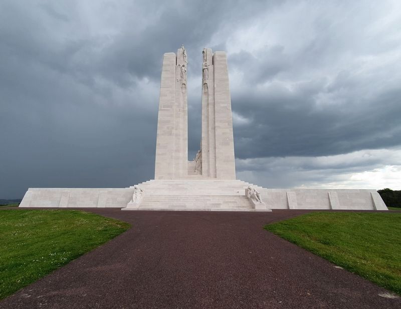
The low foundation walls of the memorial include the 11,285 names of the Canadian missing from World War I.
Photographed by J. Makali Bruton, June 11, 2024
4. Canadian National Vimy Memorial
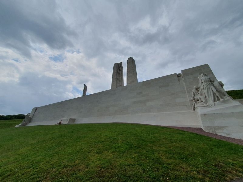
This view is of the reverse of the memorial.
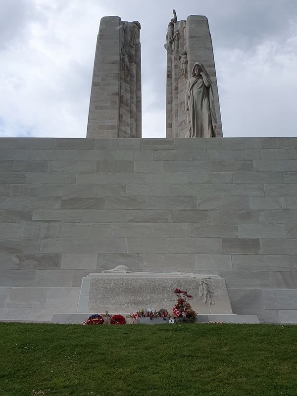
Photographed by J. Makali Bruton, June 11, 2024
5. Canadian National Vimy Memorial
This view shows the statue "Canada Bereft" looking down at the symbolic grave.
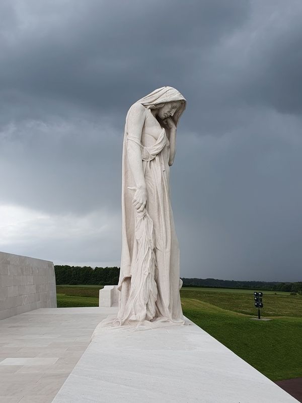
Photographed by J. Makali Bruton, June 11, 2024
6. "Canada Bereft" at the Canadian National Vimy Memorial
The statue is the work of Walter Seymour Allward.
Credits. This page was last revised on August 11, 2024. It was originally submitted on August 9, 2024, by J. Makali Bruton of Washington, District of Columbia. This page has been viewed 217 times since then and 24 times this year. Photos: 1, 2, 3, 4, 5, 6. submitted on August 9, 2024, by J. Makali Bruton of Washington, District of Columbia.
