Bernice in Union Parish, Louisiana — The American South (West South Central)
Bernice Depot
Historic Transportation
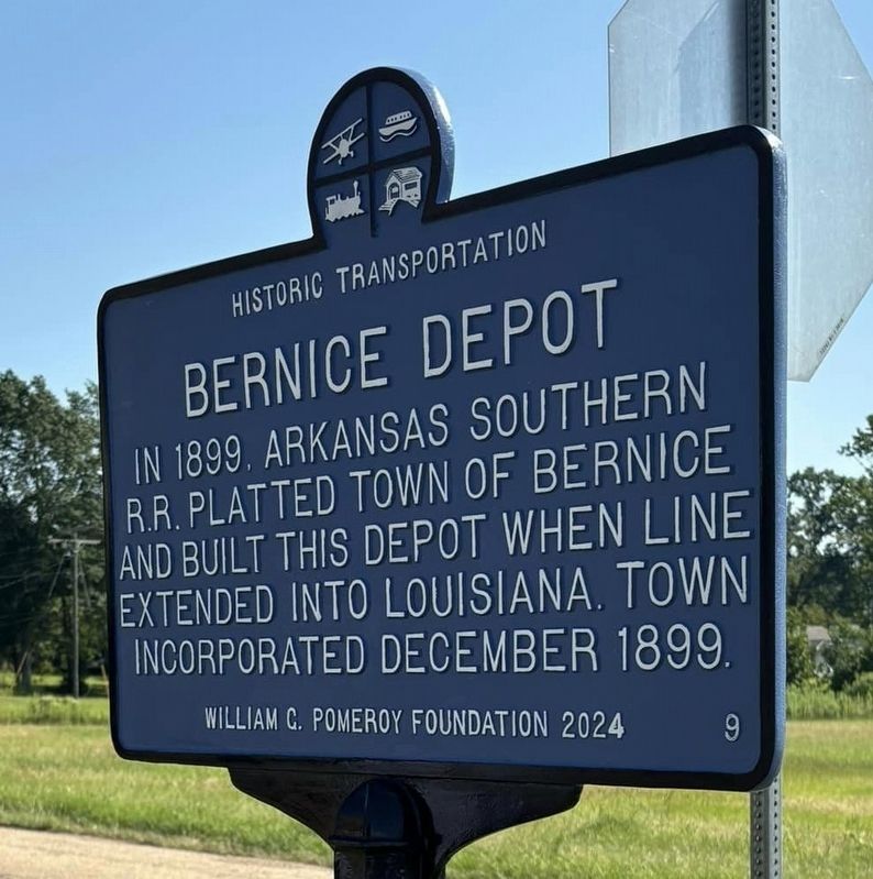
Photographed by Wesley Harris
1. Bernice Depot Marker
Erected 2024 by William G. Pomeroy Foundation. (Marker Number 9.)
Topics and series. This historical marker is listed in these topic lists: Industry & Commerce • Railroads & Streetcars. In addition, it is included in the Historic Transportation (WGPF) series list. A significant historical year for this entry is 1899.
Location. 32° 49.284′ N, 92° 39.35′ W. Marker is in Bernice, Louisiana, in Union Parish. It is at the intersection of 4th Street (Louisiana Route 2) and Louisiana Avenue, on the left when traveling east on 4th Street. Depot also displays an old caboose. The railroad tracks of the old line were removed decades ago. Touch for map. Marker is at or near this postal address: 424 4th St, Bernice LA 71222, United States of America. Touch for directions.

Regionally, this marker is in North Louisiana. It is also in the American South, specifically in the Deep South, and in the Piney Woods. Globally, it is in North America, a Gulf of Mexico state, the Western
this page online
Other nearby markers. At least 8 other markers are within 9 miles of this marker, measured as the crow flies: Robert L. Finley (within shouting distance of this marker); Town Jail (about 400 feet away, measured in a direct line); Wooden Water Cistern (about 600 feet away); Old Shiloh Community (approx. 4.3 miles away); Alabama Methodist Church (approx. 4.8 miles away); Cane Ridge / James W. Nicholson (approx. 5.6 miles away); Autrey House (approx. 8.4 miles away); Dubach House (approx. 8.7 miles away). Touch for a list and map of all markers in Bernice.
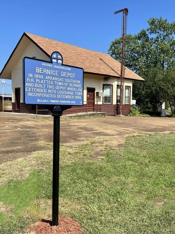
Photographed by Wesley Harris, August 9, 2024
2. Bernice Depot Marker
Credits. This page was last revised on August 10, 2024. It was originally submitted on August 9, 2024, by Wesley Harris of Ruston, Louisiana. This page has been viewed 310 times since then and 23 times this year. Photos: 1, 2. submitted on August 9, 2024, by Wesley Harris of Ruston, Louisiana. • James Hulse was the editor who published this page.
