Drummond Township on Drummond Island in Chippewa County, Michigan — The American Midwest (Great Lakes)
Fort Drummond
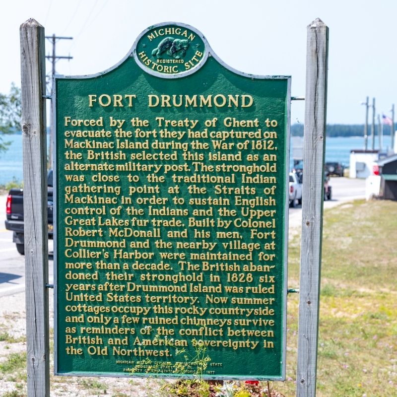
Photographed by J. J. Prats, August 2, 2024
1. Fort Drummond Marker
Erected 1977 by Michigan History Division, Department of State, Registered State Site. (Marker Number 109.)
Topics and series. This historical marker is listed in these topic lists: Forts and Castles • War of 1812. In addition, it is included in the Michigan Historical Commission series list. A significant historical year for this entry is 1812.
Location. 45° 59.333′ N,
this page online

Regionally, this marker is on the Upper Peninsula. It is also in the American Midwest and on Lake Superior’s South Shore Region. Globally, it is in North America, in the Great North Woods, on the Great Lakes, in the Western Hemisphere, in the Western World, and in the Anglosphere. Historically, it finds itself in what was once the Viceroyalty of New France and also the Northwest Territory.
Other nearby markers. At least 8 other markers are within 11 kilometers of this marker, measured as the crow flies: DeTour Reef Light Station (approx. 5.8 miles away); Black Hole or Flogging/Le trou noir, ou le fouet? (approx. 6.1 miles away in Canada); What's the Story?/Histoire de la cheminée (approx. 9.8
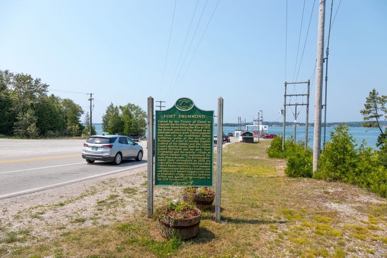
Photographed by J. J. Prats, August 2, 2024
2. Fort Drummond Marker
The vehicle ferry can be seen at the dock in the distance. Fare is $20 round trip.
Also see . . . Wikipedia entry. Excerpt:
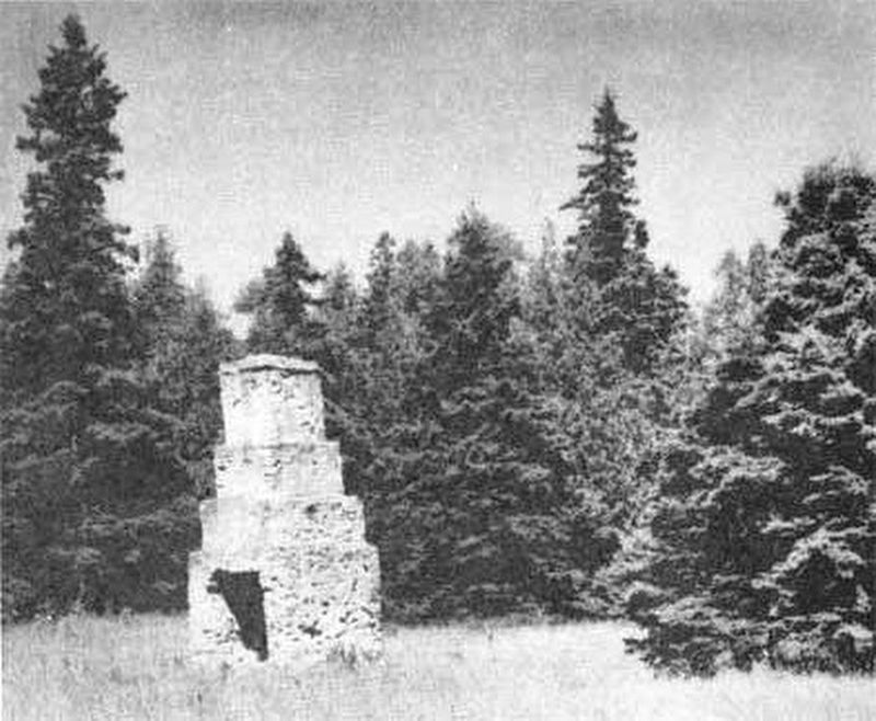
The settlement at Fort Drummond contained military structures as well as private houses. The settlement was centered around a parade ground fronting on the west side of the bay. Military barracks and commissary were located on the west side of the parade ground, and officer's quarters were haphazardly placed in the area. A “boulevard” ran along northward from the parade ground a good 2,000 feet, while a military road continued southward of the parade ground to the shore. The section of land east of the boulevard, between the boulevard and the bay, was reserved for gardens, while houses were built on the(Submitted on August 10, 2024.)west side of the boulevard. The boulevard was lined by a row of poplar trees on each side.U.S. Department of the Interior, National Park Service (Public Domain), 19593. Fort Drummond Site Chimney Ruin
Credits. This page was last revised on January 28, 2026. It was originally submitted on August 10, 2024, by J. J. Prats of Powell, Ohio. This page has been viewed 959 times since then and 147 times this year. Photos: 1, 2, 3. submitted on August 10, 2024, by J. J. Prats of Powell, Ohio.
