Sault Ste. Marie in Chippewa County, Michigan — The American Midwest (Great Lakes)
Larke Road
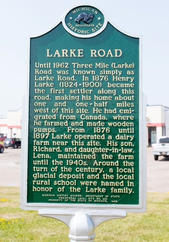
Photographed by J. J. Prats, August 2, 2024
1. Larke Road Marker
Erected 1982 by Michigan History Division, Department of State, Registered Local Site. (Marker Number 686.)
Topics and series. This historical marker is listed in this topic list: Settlements & Settlers. In addition, it is included in the Michigan Historical Commission series list. A significant historical year for this entry is 1876.
Location. 46° 27.787′ N, 84° 22.508′ W. Marker is in Sault Ste. Marie, Michigan, in Chippewa County. It is on 3 Mile Road (Business Interstate 75) just west of Exit 392 (Interstate 75), on the left when traveling east. It faces the road
this page online

Regionally, this marker is on the Upper Peninsula. It is also in the American Midwest and on Lake Superior’s South Shore Region. Globally, it is in North America, in the Great North Woods, on the Great Lakes, in the Western Hemisphere, in the Western World, and in the Anglosphere. Historically, it finds itself in what was once the Viceroyalty of New France and also the Northwest Territory.
Other nearby markers. At least 8 other markers are within 3 miles of this marker, measured as the crow flies: James Norris Physical Education Center (approx. 1.9 miles away); Lake Superior State College (approx. 2.1 miles away); The Alumni Anchor (approx. 2.1 miles away); Brady Hall (approx. 2.1 miles away); Historic Water Tower (approx. 2.1 miles away); The Michigan Meridian (approx. 2.1 miles away); Easterday Hall (approx. 2.1 miles away); Ryan Hall (approx. 2.1 miles away). Touch for a list and map of all markers in Sault
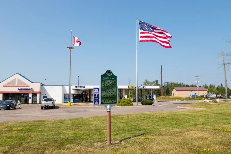
Photographed by J. J. Prats, August 2, 2024
2. Larke Road Marker
More about this marker. It is a one-sided marker and difficult to spot because it is parallel to the road.
Credits. This page was last revised on August 10, 2024. It was originally submitted on August 10, 2024, by J. J. Prats of Powell, Ohio. This page has been viewed 193 times since then and 34 times this year. Photos: 1, 2. submitted on August 10, 2024, by J. J. Prats of Powell, Ohio.
