Alamogordo in Otero County, New Mexico — The American Mountains (Southwest)
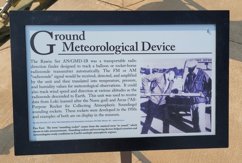
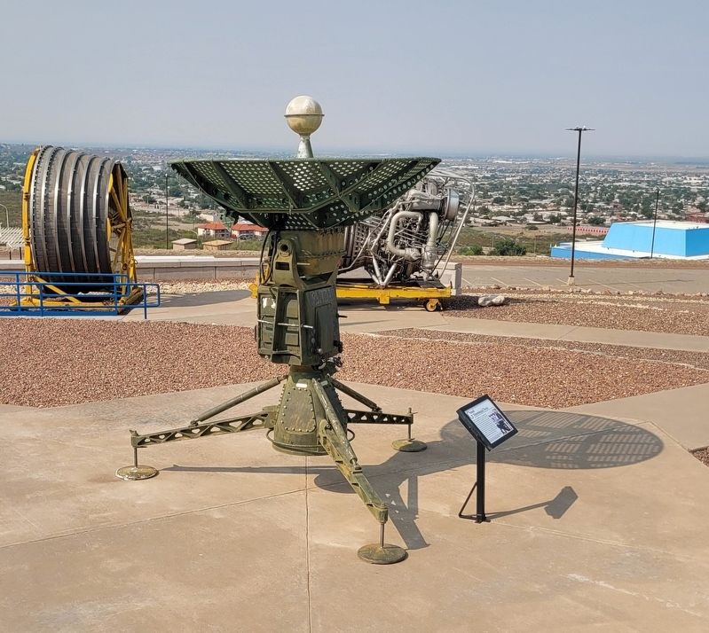
Ground Meteorological Device
Photographed by James Hulse, July 24, 2024
1. Ground Meteorological Device Marker
Fun Fact: The term "sounding rocket" comes from the nautical term "to sound," which means to take measurements. Sounding rockets and receiving devices helped scientists and meteorologists study conditions in Earth's multiple atmospheric regions.
Captions
On loan from the U.S. Army Tank-Automotive and Armaments Command (TACOM), Warren, MI-NMMSH #IL108.001
Erected by New Mexico Museum of Space History.
Topics. This historical
this page online
Location. 32° 55.277′ N, 105° 55.29′ W. Marker is in Alamogordo, New Mexico, in Otero County. It is on State Route 2001 0.4 miles east of N Scenic Drive. The marker is located on the grounds of the New Mexico Museum of Space History. Touch for map. Marker is at or near this postal address: 3198 State Rte 2001, Alamogordo NM 88310, United States of America. Touch for directions.

Regionally, this marker is in New Mexico’s Pecos Valley. It is also in the American Borderlands and in the Southwest. Globally, it is in North America, the Western Hemisphere, the Western World, and the Anglosphere. Historically, it finds itself in what was once New Spain, the Comanchería, and the Republic of Texas.
Other nearby markers. At least 8 other markers are within walking distance of this marker: Nike Ajax with Launcher (a few steps from this marker); Lance Missile (a few steps from this marker); IGOR Intercept Ground Optical Recorder (a few steps from this marker); Aerobee 150 (a few steps from this marker); F-1 Rocket Engine (a few steps
Photographed by James Hulse, July 24, 2024
2. The Ground Meteorological Device and Marker
Credits. This page was last revised on August 11, 2024. It was originally submitted on August 10, 2024, by James Hulse of Medina, Texas. This page has been viewed 149 times since then and 14 times this year. Photos: 1, 2. submitted on August 11, 2024, by James Hulse of Medina, Texas.
