Alamogordo in Otero County, New Mexico — The American Mountains (Southwest)
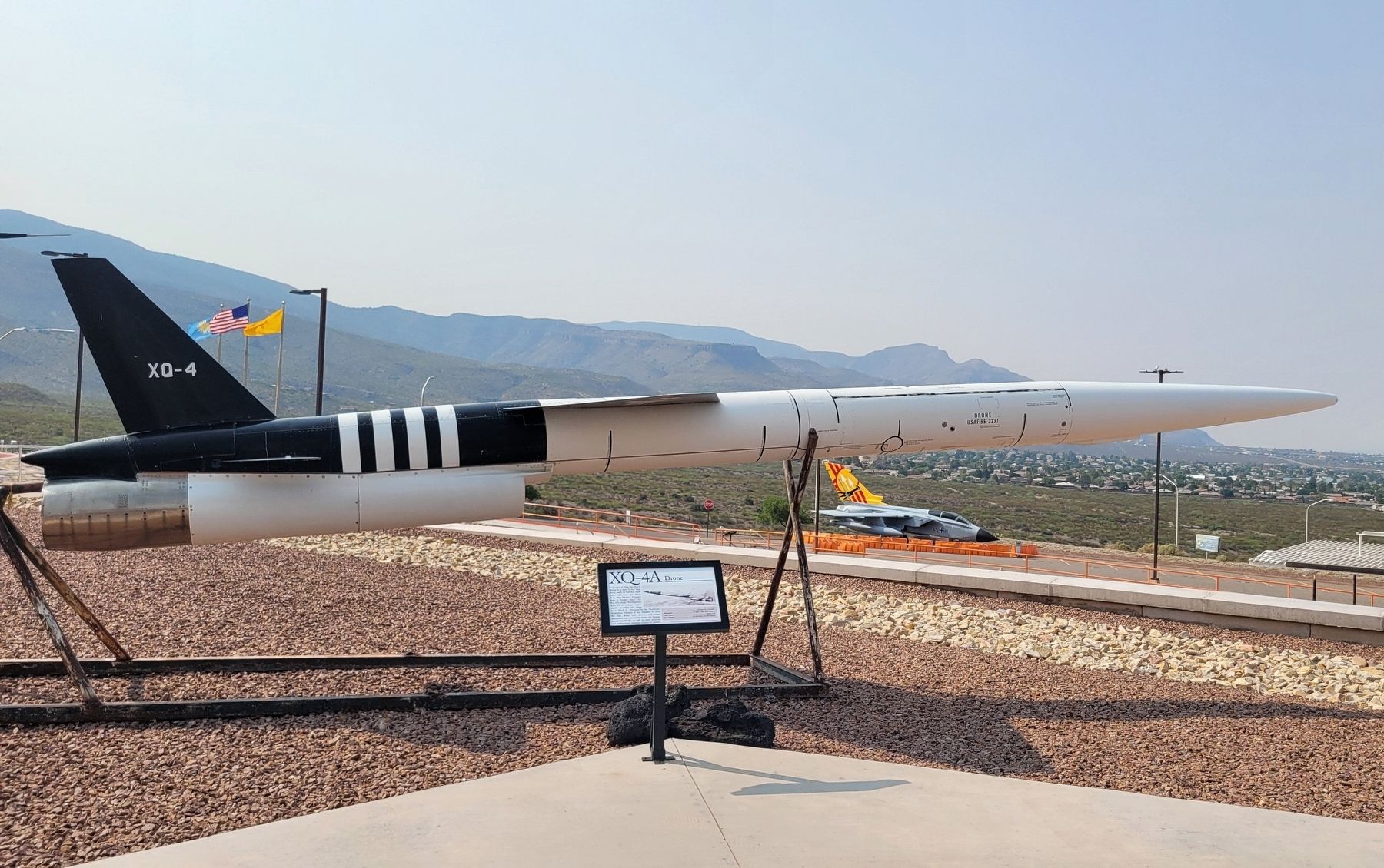
XQ-4A Drone
Photographed by James Hulse, July 24, 2024
1. XQ-4A Drone Marker
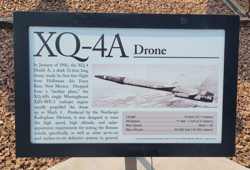
Length - 33 feet (10.1 meters)
Wingspan - 11 feet, 1 inch (3.4 meters)
Max Speed - Mach 1.55
Max Altitude - 60,000 feet (18,300 meters)
Captions
On loan from the National Museum of the U.S. Air Force, Wright-Patterson AFB, OH-NMMSH #IL075.001
Erected by New Mexico Museum of Space History.
Topics. This historical marker is listed in this topic list: Air & Space. A significant historical month for this entry is January 1956.
Location. 32° 55.266′ N, 105° 55.283′ W. Marker is in Alamogordo, New Mexico, in Otero County. It is on State Route 2001 0.4 miles east of N Scenic Drive. The marker is located on
this page online

Regionally, this marker is in the Pecos Valley. It is also in the American Borderlands and in the Southwest. Globally, it is in North America, the Western Hemisphere, the Western World, and the Anglosphere. Historically, it finds itself in what was once New Spain, the Comanchería, and the Republic of Texas.
Other nearby markers. At least 8 other markers are within walking distance of this marker: Aerobee 150 (here, next to this marker); Lance Missile (a few steps from this marker); X-7A Test Vehicle (a few steps from this marker); V-2 Rocket Engine (a few steps from this marker); F-1 Rocket Engine (a few steps from this marker); PTV Parachute Test Vehicle (a few steps from this marker); Ground Meteorological Device (a few steps from this marker); X-37B Orbital Test Vehicle Mockup (within shouting distance of this marker). Touch for a list and map of all markers in Alamogordo.
Also see . . . Northrop AQM-35. Wikipedia
The(Submitted on August 11, 2024, by James Hulse of Medina, Texas.)AQM-35 program began life in 1953 as the Model RP-61 supersonic target drone. In June 1954 the United States Air Force awarded Northrop a contract for development of the project as the Q-4; the first flight-capable XQ-4 was launched in 1956.Photographed by James Hulse, July 24, 20242. XQ-4A Drone Marker
Credits. This page was last revised on August 11, 2024. It was originally submitted on August 11, 2024, by James Hulse of Medina, Texas. This page has been viewed 286 times since then and 45 times this year. Photos: 1, 2. submitted on August 11, 2024, by James Hulse of Medina, Texas.
