Cloudcroft in Otero County, New Mexico — The American Mountains (Southwest)
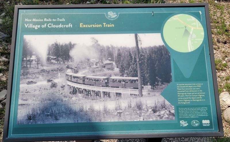
Excursion Train
Village of Cloudcroft
| — | New Mexico Rails-to-Trails | — |
Photographed by James Hulse, July 24, 2024
1. Excursion Train Marker
This historic photo sign is part of a joint project of the Village of Cloudcroft, Sacramento o Mountains Historical Society and New Mexico Rails-to-Trails Association 501 (c) (3) nonprofit organization. For more information or to find out how you can help us maintain these important paths through nature and history, please contact us ot nmrailstotrails.org or find us on Facebook at /NMRailstoTrails.
Erected by Village of Cloudcroft, New Mexico Sacramento Mountains Historical Society and Rails to Trails.
Topics. This historical marker is listed in this topic list: Railroads & Streetcars. A significant historical year for this entry is 1930.
Location. 32° 57.462′ N, 105° 44.77′ W. Marker is in Cloudcroft, New Mexico, in Otero County. It is at the intersection of James Canyon Highway and Cox Canyon Highway, on the right when traveling east
this page online

Regionally, this marker is in New Mexico’s Pecos Valley. It is also in the American Borderlands and in the Southwest. Globally, it is in North America, the Western Hemisphere, the Western World, and the Anglosphere. Historically, it finds itself in what was once New Spain, the Comanchería, and the Republic of Texas.
Other nearby markers. At least 8 other markers are within walking distance of this marker: Excursion Train at Depot ca. 1902 (a few steps from this marker); Cloudcroft Water Tank (a few steps from this marker); Cloudcroft Depot (a few steps from this marker); Cloudcroft Power House (within shouting distance of this marker); Casino & Land Office (about 600 feet away, measured in a direct line); The Pavilion - A Magical Place (about 600 feet away); Old Lodge (about 600 feet away); From the Ashes (approx. 0.2 miles away). Touch for a list and map

Photographed by James Hulse, July 24, 2024
2. Excursion Train Marker
Photographed by James Hulse, July 24, 2024
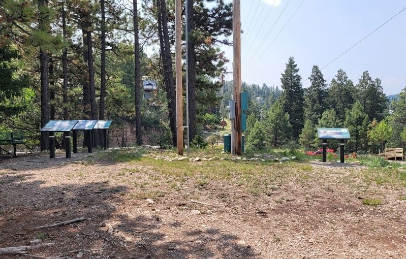
3. The view of the markers from the trailhead parking lot
Credits. This page was last revised on August 12, 2024. It was originally submitted on August 11, 2024, by James Hulse of Medina, Texas. This page has been viewed 334 times since then and 37 times this year. Photos: 1, 2, 3. submitted on August 12, 2024, by James Hulse of Medina, Texas.
