Downtown Brooklyn in Kings County, New York — The American Northeast (Mid-Atlantic)
Residential Fulton Street

Until the late 19th century, the central business district of Brooklyn was found along the part of Fulton Street (today's Cadman Plaza West) on the other side of Borough Hall, leading to the Fulton Ferry pier. This "inland" part of Fulton Street was in a residential neighborhood. It was at first bucolic in character, with freestanding villas and ample grounds and orchards, as we see in the delightful image by Currier & Ives' Francis "Fanny" Palmer of the late 18th century Samuel Fleet mansion which stood at the corner of Fulton and Gold Streets (adjacent to the present Fleet Street).
Later, it became a place of town houses, such as the rare remaining example at 372 Fulton Street, between Red Hook Lane and Smith Street, built in 1875. In 1892, the nearby restaurateurs Charles Gage and Eugene Tollner moved their restaurant into the town house. The restaurant was opened by Gage in 1879 at 302 Fulton Street; he was joined by Tollner a year later. 372 Fulton Street is a designated New York City landmark both outside and inside. Outside, the wooden storefront was added after the town house became a restaurant. Inside is
this page online
The residential days of this part of Fulton Street gradually came to an end after the opening of the Brooklyn Bridge in 1883, the approaches to which bypassed the old downtown, which centered on the ferry landing at Fulton Street and the East River, suggesting that Fulton Street east of Adams Street (the approach lane to the Brooklyn Bridge) was better located to serve as Brooklyn's central business district.
The opening of the Brooklyn Bridge in 1883, and of the Fulton Street "el" by the Kings County Elevated Railway Company in 1888, confirmed the shift of the central business district from the waterfront area, and the end of residential days on this part of Fulton Street.
Topics. This historical marker is listed in these topic
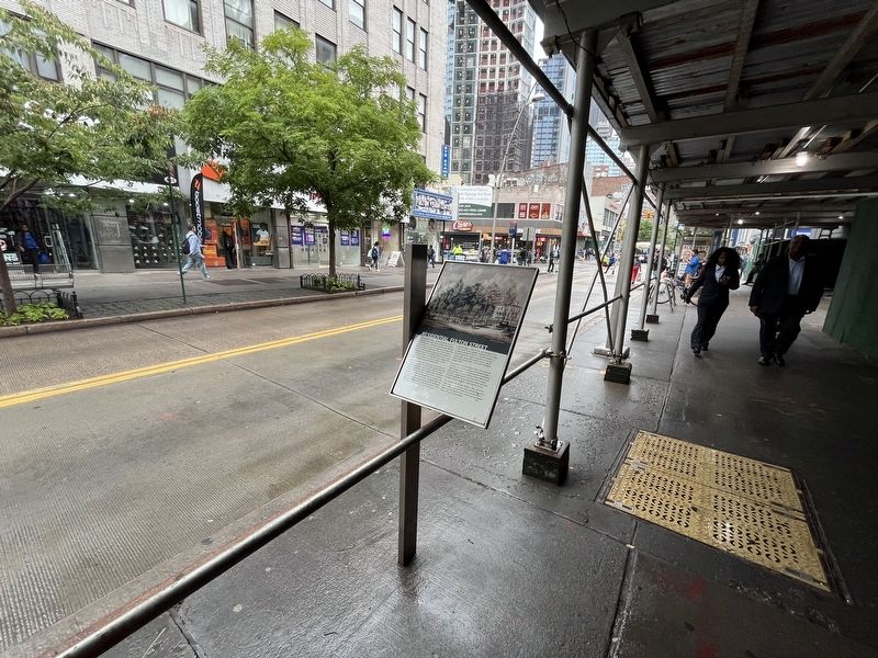
Location. 40° 41.504′ N, 73° 59.272′ W. Marker is in Brooklyn, New York, in Kings County. It is in Downtown Brooklyn. It is on Fulton Street. Touch for map. Marker is at or near this postal address: 427 Fulton St, Brooklyn NY 11201, United States of America. Touch for directions.

Regionally, this marker is in New York City and on Long Island. It is also in the American Northeast, in the Mid-Atlantic, and on the Eastern Seaboard. Globally, it is in the North Atlantic Region, North America, the Western Hemisphere, the Western World, and the Anglosphere. Historically, it finds itself in what was once New Netherland and also one of the original Thirteen Colonies.
Other nearby markers. At least 8 other markers are within walking distance of this marker: Did You Know? (within shouting distance of this marker); Fulton Street / Downtown Brooklyn (within shouting distance of this marker); a different marker also named Did You Know? (within shouting distance of this marker); a different marker also named Did You Know? (within shouting distance of this marker); a different marker also named Did You Know? (within shouting distance of this marker); a different marker also named Did You Know? (about 300 feet away, measured in a direct line); a different marker also named Did You Know? (about 300 feet away); MetroTech / Downtown Brooklyn (about 300 feet away). Touch for a list and map of all markers in Brooklyn.
Credits. This page was last revised on August 11, 2024. It was originally submitted on August 11, 2024, by Devry Becker Jones of Washington, District of Columbia. This page has been viewed 469 times since then and 45 times this year. Photos: 1, 2. submitted on August 11, 2024, by Devry Becker Jones of Washington, District of Columbia.
