Cloudcroft in Otero County, New Mexico — The American Mountains (Southwest)
Old Lodge
Village of Cloudcroft
| — | New Mexico Rails-to-Trails | — |

Photographed by James Hulse, July 24, 2024
1. Old Lodge Marker
The original Cloudcroft Lodge was completes at this site in 1901. It was the crown jewel of the Alamogordo & Sacramento Mountain Railway's construction projects in new village. Sadly, at the start of the 1909 summer season, a kitchen fire spread and the entire structure was consumed.
The Lodge Resort & Spa Cloudcroft, NM - This sign was created and is actively maintained by volunteers from the New Mexico Rails-to-Trails Association - 501 (c) (3) nonprofit organization partnership with the Village of Cloudcraft. For more information or to find out how you can help us maintain these important paths through nature and please contact us at nmrailstotrails.org or find us on Facebook at /NMRailstoTrails
Erected by Village
this page online
Topics. This historical marker is listed in these topic lists: Industry & Commerce • Railroads & Streetcars. A significant historical month for this entry is October 1918.
Location. 32° 57.413′ N, 105° 44.658′ W. Marker is in Cloudcroft, New Mexico, in Otero County. It is at the intersection of Chipmunk Avenue and Curlew Place, on the left when traveling east on Chipmunk Avenue. The view of the markers at the corner of the intersection. Touch for map. Marker is at or near this postal address: 62 Chipmunk Ave, Cloudcroft NM 88317, United States of America. Touch for directions.

Regionally, this marker is in New Mexico’s Pecos Valley. It is also in the American Borderlands and in the Southwest. Globally, it is in North America, the Western Hemisphere, the Western World, and the Anglosphere. Historically, it finds itself in what was once New Spain, the Comanchería, and the Republic of Texas.
Other nearby markers. At least 8 other markers are within walking distance of this marker: Casino & Land Office (here, next to this marker); The Pavilion - A Magical Place
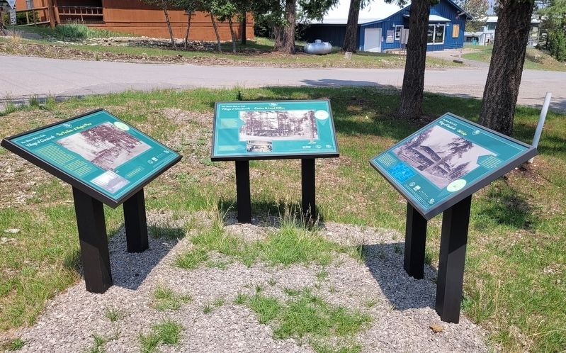
Photographed by James Hulse, July 24, 2024
2. Old Lodge Marker (right side)
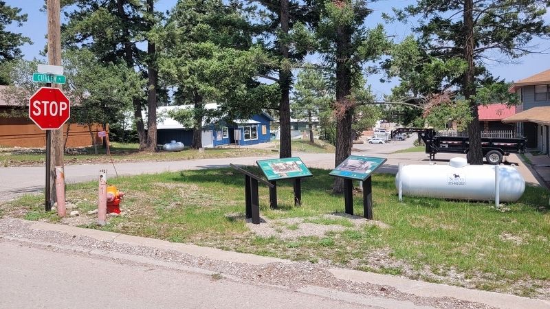
Photographed by James Hulse, July 24, 2024
3. The view of the markers at the corner of the intersection
Credits. This page was last revised on August 12, 2024. It was originally submitted on August 11, 2024, by James Hulse of Medina, Texas. This page has been viewed 347 times since then and 80 times this year. Photos: 1, 2, 3. submitted on August 12, 2024, by James Hulse of Medina, Texas.
