Fort Gaines in Clay County, Georgia — The American South (South Atlantic)
The Old Lattice Bridge
Photographed by David Seibert, August 14, 2011
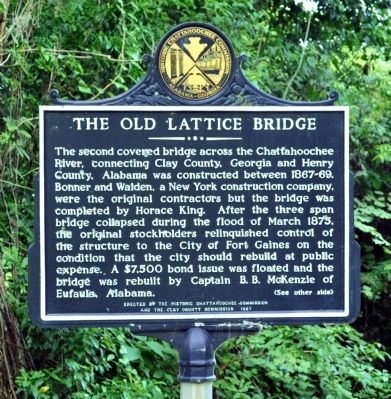
1. The Old Lattice Bridge Marker, Side 1
The second covered bridge across the Chattahoochee River, connecting Clay County, Georgia and Henry County. Alabama was constructed between 1867-69. Bonner and Walden, a New York construction company, were the original contractors but the bridge was completed by Horace King. After the three span bridge collapsed during the flood of March 1875, the original stockholders relinquished control of the structure to the City of Fort Gaines on the condition that the city should rebuild at public expense. A $7,500 bond issue was floated and the bridge was rebuilt by Captain B. B. McKenzie of Eufaula, Alabama.
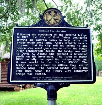
Side 2:
Following the reopening of the covered bridge in 1875, the City of Fort Gaines considered levying ad valorem taxes to help retire the bridge repair bond issue. Angry property owners proposed that the city sell the bridge to any person who would guarantee to retire the bonds. After considerable debate, the bridge was sold to David C. Adams who realized a handsome profit on his investment. The flood of March 1888 partially destroyed the bridge again and it was resold to the city for $5,000. The
this page online
Erected 1987 by Historic Chattahoochee Commission and the Clay County Commission.
Topics and series. This historical marker is listed in this topic list: Bridges & Viaducts. In addition, it is included in the Covered Bridges series list. A significant historical year for this entry is 1875.
Location. 31° 36.373′ N, 85° 3.285′ W. Marker is in Fort Gaines, Georgia, in Clay County. It is on Bluff Street south of Commerce Street, on the right when traveling south. The marker is well off the road, near the site of the old fort (and cannon). Touch for map. Marker is in this post office area: Fort Gaines GA 39851, United States of America. Touch for directions.

Regionally, this marker is on Georgia’s Coastal Plain. It is also in the American South and specifically in the Deep South. Globally, it is in North America, the Western Hemisphere, the Western World, and the Anglosphere. Historically, it finds itself in what was once the territory of the Mississippian Culture, one
Photographed by David Seibert, August 14, 2011
2. The Old Lattice Bridge Marker, Side 2
Other nearby markers. At least 8 other markers are within walking distance of this marker: The 1836 Fort (within shouting distance of this marker); Fort Gaines (about 400 feet away, measured in a direct line); Old Pioneer Cemetery (about 700 feet away); Site of the First Clay County Courthouse and Jail (approx. 0.2 miles away); Chattahoochee River Crossings (approx. 0.3 miles away in Alabama); Franklin - First Beachhead into East Alabama (approx. 0.3 miles away in Alabama); Fort Gaines Guards (approx. 0.3 miles away); Historic Sites (approx. 0.4 miles away). Touch for a list and map of all markers in Fort Gaines.
Other markers no longer nearby. In the Confederacy (was a few steps from this marker but has been confirmed missing); Site of Fort Gaines Female College (was about 500 feet away but has been confirmed missing).
Additional keywords. covered bridge
Photographed by James L.Whitman, January 2, 2021
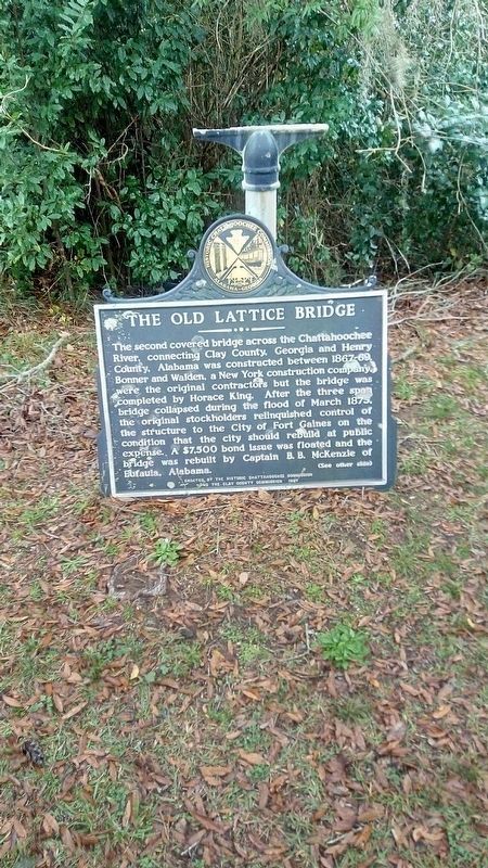
3. The Old Lattice Bridge Marker
Photographed by David Seibert, August 14, 2011
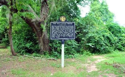
4. The Old Lattice Bridge Marker
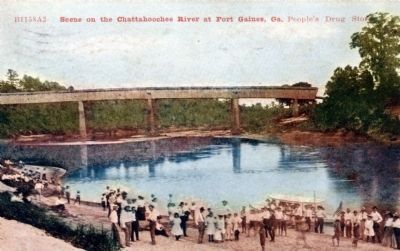
Unknown. Postcard from David Seibert Collection
5. The Old Lattice Bridge over the Chattahoochee River
This postcard, from "People's Drug Store," was postmarked in 1910.
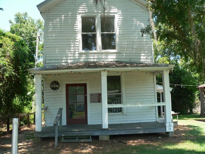
Photographed by James L.Whitman, August 12, 2024
6. The Old Lattice Bridge Marker
Credits. This page was last revised on August 12, 2024. It was originally submitted on October 9, 2011, by David Seibert of Sandy Springs, Georgia. This page has been viewed 1,503 times since then and 49 times this year. Last updated on August 12, 2024, by James L.Whitman of Eufaula, Alabama. Photos: 1, 2. submitted on October 9, 2011, by David Seibert of Sandy Springs, Georgia. 3. submitted on January 5, 2021, by James L.Whitman of Eufaula, Alabama. 4, 5. submitted on October 9, 2011, by David Seibert of Sandy Springs, Georgia. 6. submitted on August 12, 2024, by James L.Whitman of Eufaula, Alabama. • Bernard Fisher was the editor who published this page.
