Hoover Dam in Mohave County, Arizona — The American Mountains (Southwest)
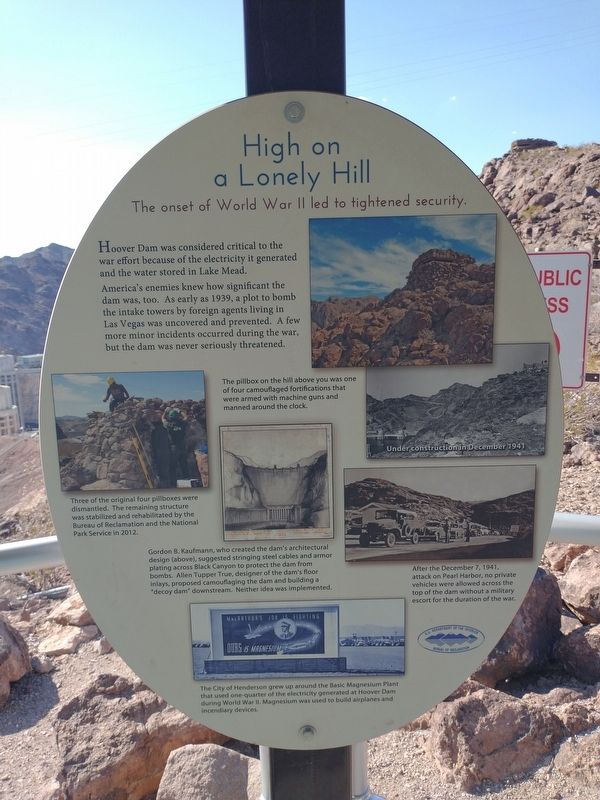
High on a Lonely Hill
The onset of World War II led to tightened security.
Photographed by Tom Bosse, July 20, 2024
1. High on a Lonely Hill Marker
Hoover Dam was considered critical to the war effort because of the electricity it generated and the water stored in Lake Mead.
America’s enemies knew how significant the dam was, too. As early as 1939, a plot to bomb the intake towers by foreign agents living in Las Vegas was uncovered and prevented. A few more minor incidents occurred during the war, but the dam was never seriously threatened.
[Captions:]
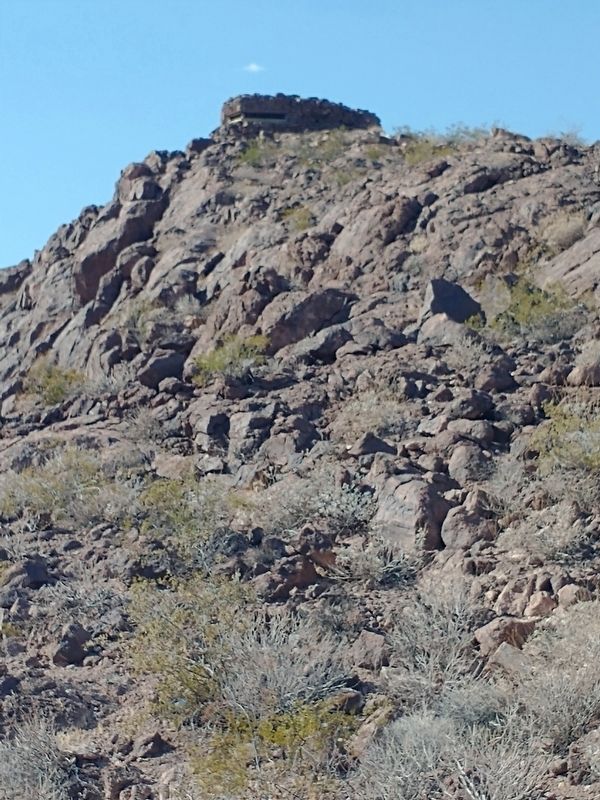
The pillbox on the hill above you was one of four camouflaged fortifications that were armed with machine guns and manned around the clock.
Under construction in December 1941.
Three of the original four pillboxes were dismantled. The remaining structure was stabilized and rehabilitated by the Bureau of Reclamation and the National Park Service in 2012.
Gordon B. Kaufmann, who created the dam’s architectural design (above), suggested stringing steel cables and armor plating across Black Canyon to protect the dam from bombs. Allen Tupper True, designer of the dam’s floor inlays, proposed camouflaging the dam and building a “decoy dam” downstream. Neither idea was implemented.
After the December 7,
this page online
The City of Henderson grew up around the Basic Magnesium Plant that used one-quarter of the electricity generated at Hoover Dam during World War II. Magnesium was used to build airplanes and incendiary devices.
Erected by U.S. Department of the Interior – Bureau of Reclamation.
Topics. This historical marker is listed in these topic lists: Bridges & Viaducts • War, World II. A significant historical month for this entry is December 1941.
Location. 36° 0.828′ N, 114° 43.922′ W. Marker is in Hoover Dam, Arizona, in Mohave County. It is on Hoover Dam Access Road, on the right when traveling west. Marker located at the Hoover Dam Lookout. Touch for map. Marker is at or near this postal address: 118 Kingman Wash Access Rd, Temple Bar Marina AZ 86443, United States of America. Touch for directions.

Regionally, this marker is in the Colorado River Valley. It is also in the American Southwest. Globally, it is in North America, the Western Hemisphere, the Western World, and the Anglosphere.
Photographed by Tom Bosse, July 20, 2024
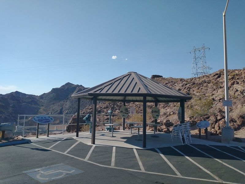
2. High on a Lonely Hill Marker (pillbox in background).
Other nearby markers. At least 8 other markers are within walking distance of this marker: The First People (a few steps from this marker); Then and Now (within shouting distance of this marker); Anson Smith (approx. 0.2 miles away); Hoover Dam (approx. 0.3 miles away in Nevada); New Century, New Challenges (approx. 0.4 miles away in Nevada); Discover Hoover Dam (approx. 0.4 miles away in Nevada); Dr. Elwood Mead (approx. 0.4 miles away in Nevada); They Died to Make the Desert Bloom (approx. 0.4 miles away in Nevada). Touch for a list and map of all markers in Hoover Dam.
Photographed by Tom Bosse, July 20, 2024
3. World War II Pillbox
Credits. This page was last revised on August 21, 2024. It was originally submitted on August 19, 2024, by Tom Bosse of Jefferson City, Tennessee. This page has been viewed 472 times since then and 157 times this year. Photos: 1, 2, 3. submitted on August 19, 2024, by Tom Bosse of Jefferson City, Tennessee. • Andrew Ruppenstein was the editor who published this page.
