Mission Valley in San Diego in San Diego County, California — The American West (Pacific Coastal)
The Façade
Photographed by Craig Baker, March 10, 2026
1. The Façade Marker
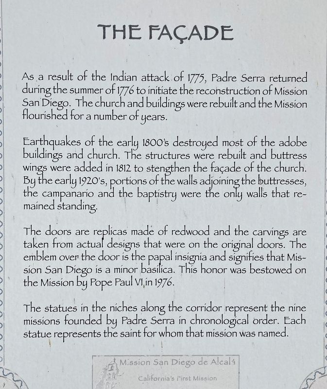
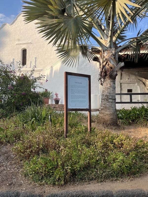
As a result of the Indian attack of 1775, Padre Serra returned during the summer of 1776 to initiate the reconstruction of Mission San Diego. The church and buildings were rebuilt and the Mission flourished for a number of years.
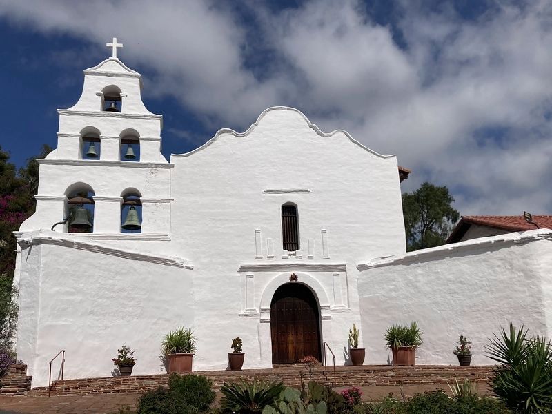
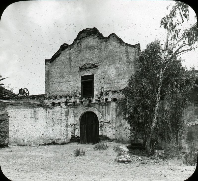
Earthquakes of the early 1800's destroyed most of the adobe buildings and church. The structures were rebuilt and buttress wings were added in 1812 to strengthen the facade of the church. By the early 1920's, portions of the walls along the adjoining buttresses, the campanano and the baptistry were the only walls that remained standing.
The doors are replicas made of redwood and the carvings are taken from actual designed that were on the original doors. The emblem over the door is the papal insignia and signified that Mission San Diego is a minor basilica. This honor was bestowed on the Mission by Pope Paul VI in 1976.
The statues in the niches along the corridor represent the nine missions founded by Padre Serra in chronological order. Each statue represents the saint for whom that mission was named.
Topics. This historical marker is listed in these topic lists: Religion & Religious Structures
this page online
Location. 32° 47.067′ N, 117° 6.392′ W. Marker is in San Diego, California, in San Diego County. It is in Mission Valley. It is on San Diego Mission Road. Touch for map. Marker is at or near this postal address: 10818 San Diego Mission Rd, San Diego CA 92108, United States of America. Touch for directions.

Regionally, this marker is in California’s Peninsular Ranges. It is also in the American Borderlands and on the Pacific Coast. Globally, it is in North America, on the Ring of Fire, on the Pacific Rim, in the Western Hemisphere, in the Western World, and in the Anglosphere. Historically, it finds itself in what was once New Spain and also Mexico’s Alta California.
Other nearby markers. At least 8 other markers are within walking distance of this marker: Mission San Diego de Alcala (here, next to this marker); The Campanario (a few steps from this marker); Spanish Explorations (a few steps from this marker); Padres' Living Quarters (within shouting distance of this marker); a different marker also named Mission San Diego de Alcala (within
Photographed by Adam Margolis, July 23, 2024
2. The Façade Marker
Photographed by Craig Baker, March 10, 2026
3. The Façade
courtesy National Park Service
4. Fachada (The façade)
Credits. This page was last revised on March 31, 2026. It was originally submitted on August 19, 2024, by Adam Margolis of Mission Viejo, California. This page has been viewed 213 times since then and 26 times this year. Photos: 1. submitted on February 14, 2026. 2. submitted on August 19, 2024, by Adam Margolis of Mission Viejo, California. 3. submitted on March 31, 2026, by Craig Baker of Sylmar, California. 4. submitted on August 25, 2024. • J. Makali Bruton was the editor who published this page.
