Holladay in Salt Lake County, Utah — The American Mountains (Southwest)
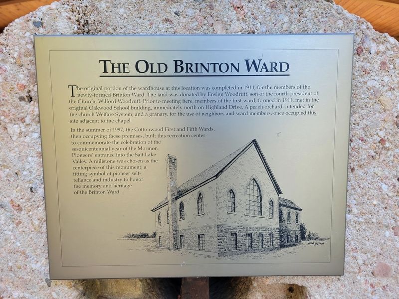
Old Brinton Ward
Photographed by Jeremy Snow, August 19, 2024
1. Old Brinton Ward Marker
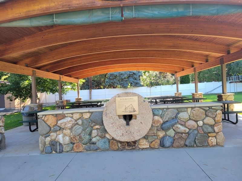
In the summer of 1997, the Cottonwood First and Fifth Wards, then occupying these premises, built this recreation center to commemorate the celebration of the sesquicentennial year of the Mormon Pioneers entrance into the Salt Lake Valley. A millstone was chosen as the centerpiece of this monument, a fitting symbol of pioneer self-reliance and industry to honor the memory and heritage of the Brinton Ward.
Topics. This historical marker is listed in these topic lists: Charity & Public Work • Religion & Religious Structures. A significant historical year for this entry is 1914.
Location. 40° 38.577′ N,
this page online

Regionally, this marker is in the Wasatch Front and in Greater Salt Lake. It is also in the American Mountain West and on the Colorado Plateau. Globally, it is in North America, the Rocky Mountains, the Western Hemisphere, the Western World, and the Anglosphere. Historically, it finds itself in what was once New Spain and also Mexico’s Alta California.
Other nearby markers. At least 8 other markers are within 2 miles of this marker, measured as the crow flies: Cottonwood Settlement (about 400 feet away, measured in a direct line); The Knudsen Flour Mill (approx. 1.1 miles away); "Our Sweet Three Year Old Daughter", (approx. 1.4 miles away); First Utah Pioneer Cemetery Outside Salt Lake City (approx. 1.4 miles away); The Lower (or Church) Canal (approx. 1.6 miles away); Holladay's First Church and School Building
Photographed by Jeremy Snow, August 19, 2024
2. Old Brinton Ward Marker
Credits. This page was last revised on August 20, 2024. It was originally submitted on August 19, 2024, by Jeremy Snow of Cedar City, Utah. This page has been viewed 408 times since then and 144 times this year. Photos: 1, 2. submitted on August 19, 2024, by Jeremy Snow of Cedar City, Utah. • Andrew Ruppenstein was the editor who published this page.
