Clinton in Anderson County, Tennessee — The American South (East South Central)
Dr. Samuel B. Hall Building
1908
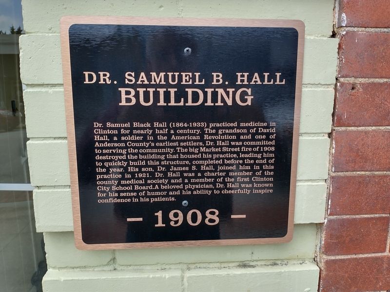
Photographed by Tom Bosse, August 16, 2024
1. Dr. Samuel B. Hall Building Marker
Topics. This historical marker is listed in this topic list: Notable Buildings. A significant historical year for this entry is 1908.
Location. 36° 6.223′ N, 84° 7.846′ W. Marker is in Clinton, Tennessee, in Anderson County. It is on Market Street west of Collum Street, on the left when traveling east. Touch for map. Marker is at or near this postal address: 358 Market Street, Clinton TN 37716, United States of America. Touch for directions.

Regionally,
this page online
Other nearby markers. At least 8 other markers are within walking distance of this marker: Ring-Davis Building (a few steps from this marker); Eagle Bend (within shouting distance of this marker); The Market Place of Pearls (about 300 feet away, measured in a direct line); Leinart Co. Building (about 400 feet away); Train Depot (about 400 feet away); City of Pearls (about 400 feet away); Union Bank / Parker Building (about 400 feet away); Rutherford Building (about 400 feet away). Touch for a list and map of all markers in Clinton.
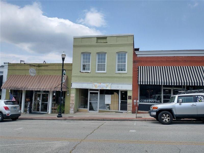
Photographed by Tom Bosse, August 16, 2024
2. Dr. Samuel B. Hall Building Marker
Credits. This page was last revised on August 21, 2024. It was originally submitted on August 20, 2024, by Tom Bosse of Jefferson City, Tennessee. This page has been viewed 190 times since then and 28 times this year. Photos: 1, 2. submitted on August 20, 2024, by Tom Bosse of Jefferson City, Tennessee. • James Hulse was the editor who published this page.
