Bar Harbor in Hancock County, Maine — The American Northeast (New England)
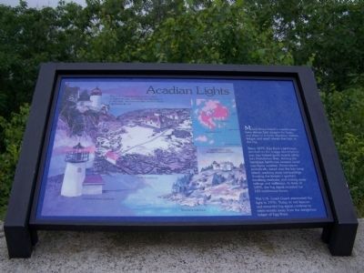
Acadian Lights
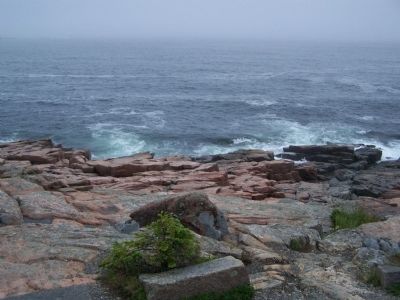
Mount Desert Island's coastal waters have always held dangers for boats and ships - rocky shoreline, hidden ledges, and small islands that hide in the fog.
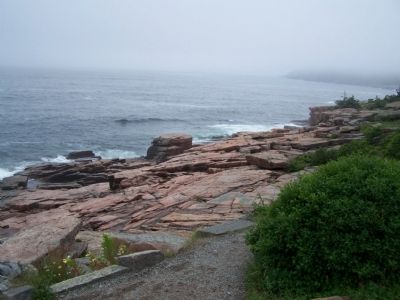
Since 1875, Egg Rock Lighthouse perched on the craggy island before you, has helped guide vessels safely into Frenchman Bay. Among the hardships lighthouse keepers faced was fierce weather. Storm waves periodically swept over the low-lying island, washing away out-buildings, flooding the keeper's quarters, breaking windows, and tearing away railings and walkways. In June of 1895, the fog signal sounded for 105 continuous hours.
The U.S. Coast Guard automated the light in 1976. Today its red beacon and mournful fog signal continue to warn vessels away from the dangerous ledges of Egg Rock.
Topics and series. This historical marker is listed in these topic lists: Communications • Waterways & Vessels. In addition, it is included in the Lighthouses series list. A significant historical month for this entry is June 1895.
Location. 44° 21.6′ N, 68° 11.3′ W. Marker is in Bar Harbor, Maine, in Hancock County. Marker is on Ocean Drive, on the right. Marker is on the loop drive of Acadia National Park. Touch for map. Marker is in this post office area: Bar Harbor ME 04609, United States of America. Touch for directions.
Other nearby markers. At least 8 other markers are within 2 miles of this marker, measured as the crow flies. Peregrine Falcons Return to Acadia (approx. ¾ mile away); Wigwam/wikuwam (approx. one mile away); Wabanaki Traditions (approx. one mile away); Acadia’s Founding Father (approx. one mile away); George Bucknam Dorr (approx. one mile away); Sieur de Monts Spring: The Heart of Acadia National Park (approx. one mile away); Forever Protected (approx. 1½ miles away); Cadillac Mountain (approx. 1.8 miles away). Touch for a list and map of all markers in Bar Harbor.
Credits. This page was last revised on September 23, 2020. It was originally submitted on December 13, 2009, by Bill Pfingsten of Bel Air, Maryland. This page has been viewed 1,242 times since then and 9 times this year. Photos: 1, 2, 3. submitted on December 13, 2009, by Bill Pfingsten of Bel Air, Maryland.


