Fort Belvoir in Fairfax County, Virginia — The American South (Mid-Atlantic)
Pohick Road Crossing
January 5, 2019
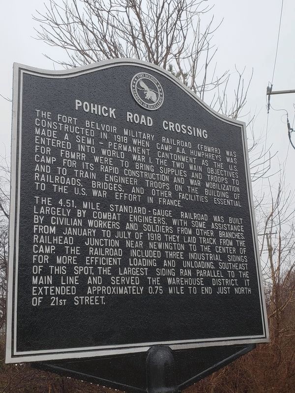
1. Pohick Road Crossing Marker
The 4.51 mile standard-gauge railroad was built largely by combat engineers, with some assistance from civilian workers and soldiers from other branches. From January to July 1918 they laid track from the railhead junction near Newington to the center of camp. The railroad included three industrial sidings for more efficient loading and unloading. Southeast of this spot, the largest siding ran parallel to the main line and served the warehouse district. It extended approximately 0.75 miles to end just north of 21st Street.
Erected 2018 by Fort Belvoir and the Federal Highway Administration.
Topics. This historical marker is listed in these topic lists: Forts and Castles • Railroads & Streetcars
this page online
Location. 38° 41.809′ N, 77° 8.755′ W. Marker is in Fort Belvoir, Virginia, in Fairfax County. It is at the intersection of Backlick Road and Beulah Street, on the right when traveling west on Backlick Road. Located on Fort Belvoir (Restricted Access). Touch for map. Marker is at or near this postal address: 9012 Backlick Road, Fort Belvoir VA 22060, United States of America. Touch for directions.

Regionally, this marker is in the Washington Metropolitan Area and in Northern Virginia. It is also in the American South, specifically in the Upper South, in the Mid-Atlantic, and on the Eastern Seaboard. Globally, it is in the North Atlantic Region, North America, the Western Hemisphere, the Western World, and the Anglosphere. Historically, it finds itself in what was once the territory of the Mississippian Culture, one of the original Thirteen Colonies, one of the Confederate States of America, and the Antebellum South.
Other nearby markers. At least 8 other markers are within walking distance of this marker: Warehouse District (approx. 0.4 miles away);
Photographed by Kevin W., June 11, 2019
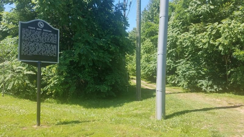
2. Pohick Road Crossing Marker
The dirt road to the right of the marker is the old railroad bed.
Credits. This page was last revised on August 21, 2024. It was originally submitted on January 5, 2019. This page has been viewed 680 times since then and 23 times this year. Last updated on August 21, 2024. Photos: 1. submitted on January 5, 2019. 2. submitted on June 11, 2019, by Kevin W. of Stafford, Virginia. • Bernard Fisher was the editor who published this page.
