Nanticoke in Haldimand County, Ontario — Central Canada (North America)
Nanticoke
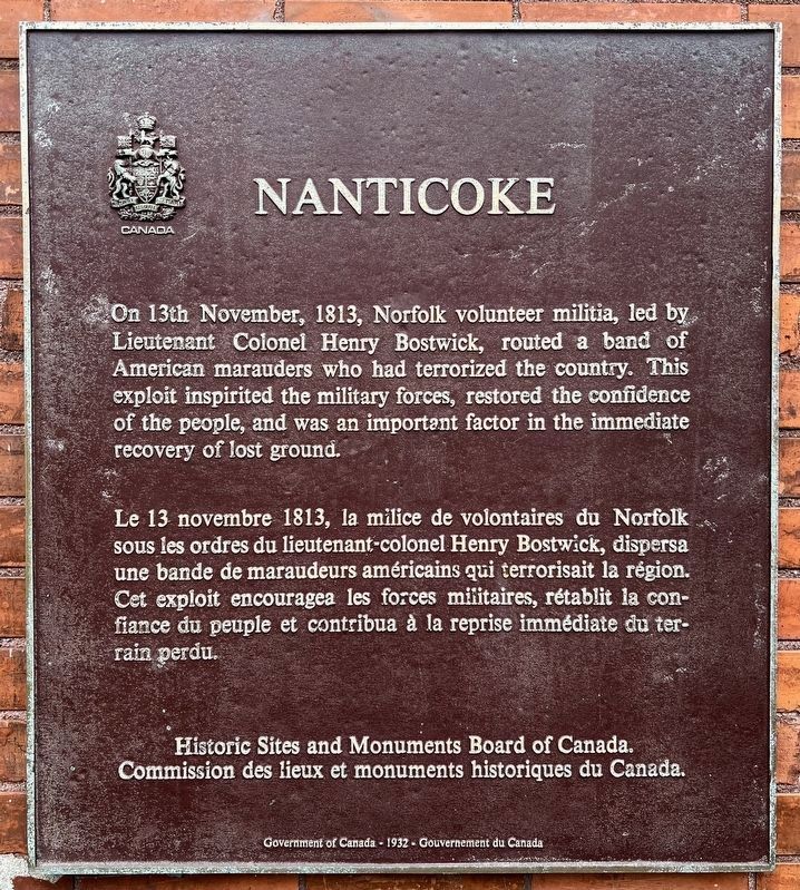
Photographed by Tim Boyd, August 21, 2024
1. Nanticoke Marker

Historic Sites and Monuments Board of Canada.
Commission des lieux et monuments historiques du Canada.
Government of Canada -1932- Gouvernement du Canada
Erected 1932 by Historic Sites and Monuments Board of Canada.
Topics and series. This historical marker is listed in this topic list: War of 1812. In addition, it is included in the Canada, Historic Sites and Monuments Board series list. A significant historical date for this entry is November 13, 1813.
Location. 42° 48.557′ N, 80° 4.764′ W.
this page online

Regionally, this marker is in the Southwest Ontario Area and in Southwestern Ontario. It is also in Central Canada. Globally, it is in North America, on the Great Lakes, in the Western Hemisphere, in the Western World, and in the Anglosphere. Historically, it finds itself in what was once a British colony, the Viceroyalty of New France, the Haudenosaunee (Iroquois) Confederacy, and Rupert’s Land.
Other nearby markers. At least 8 other markers are within 11 kilometers of this marker, measured as the crow flies: Wilson Pugsley MacDonald (1880-1967) (approx. 8.7 kilometers away); Jarvis and Walpole War Memorial (approx. 9.1 kilometers away); Dollier and Galinée (approx. 9.1 kilometers away); Cliff Site National Historic Site (approx. 9.9 kilometers away); The Fishing Years (approx. 10.1 kilometers away); “Midnight Herring”
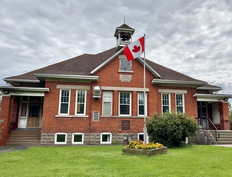
Photographed by Tim Boyd, August 21, 2024
2. Nanticoke Marker
Also see . . . Hamilton Spectator - The Battle of Norfolk Had Far-reaching effects.
On November 11 (1813), a group of men met at the home of William Drake in Dover. (Drake and his sons also had land in Walpole.) A total of 36 men, including David Long and other from Haldimand, attended the meeting. After some discussion, several resolutions were passed. The main one was to oppose the American marauders and defend the territory.(Submitted on August 22, 2024, by Tim Boyd of Hamilton, Ontario.)
Credits. This page was last revised on November 7, 2025. It was originally submitted on August 22, 2024, by Tim Boyd of Hamilton, Ontario. This page has been viewed 234 times since then and 29 times this year. Photos: 1, 2. submitted on August 22, 2024, by Tim Boyd of Hamilton, Ontario. • Andrew Ruppenstein was the editor who published this page.
