
Dunnville in Port Maitland in Haldimand County, Ontario — Central Canada (North America)
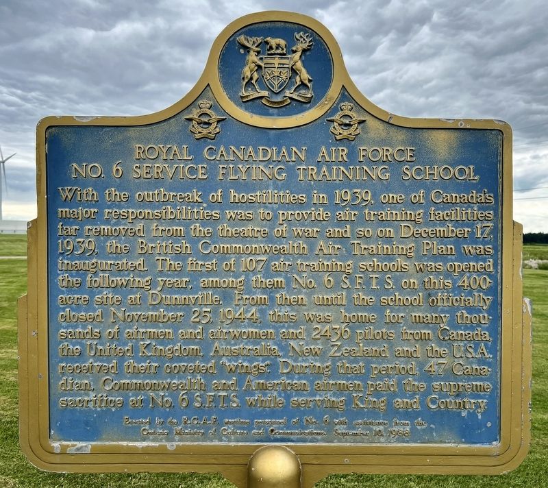
Royal Canadian Air Force No.6 Service Flying Training School
Photographed by Tim Boyd, August 21, 2024
1. Royal Canadian Air Force No.6 Service Flying Training School Marker
Erected by the R.C.A.F. Wartime personnel of No. 6 with assistance from the Ontario ministry of Culture and Communications, September 10, 1986
Erected 1986 by Ontario Ministry of Culture and Communications.
Topics and series. This historical marker is listed in these topic lists: Air & Space • War, World II. In addition, it is included in the Canada, Ontario Heritage Trust
this page online
Location. 42° 52.731′ N, 79° 35.209′ W. Marker is in Port Maitland, Ontario, in Haldimand County. It is in Dunnville. It is on Port Maitland Road 3.9 kilometers east of Rainham Road (Haldimand Road 3), on the right when traveling east. Touch for map. Marker is at or near this postal address: 536 Port Maitland Road, Port Maitland ON N1A 2W6, Canada. Touch for directions.

Regionally, this marker is in the Southwest Ontario Area and in Southwestern Ontario. It is also in Central Canada. Globally, it is in North America, on the Great Lakes, in the Western Hemisphere, in the Western World, and in the Anglosphere. Historically, it finds itself in what was once a British colony, the Viceroyalty of New France, the Haudenosaunee (Iroquois) Confederacy, and Rupert’s Land.
Other nearby markers. At least 8 other markers are within 23 kilometers of this marker, measured as the crow flies: Feeder Canal and Lock (approx. 2.2 kilometers away); Commercial Fishing Industry (approx. 2.2 kilometers away); Grand River Naval Depot (approx. 2.2 kilometers away); Naval Depot Cemetery
Photographed by Tim Boyd, August 21, 2024
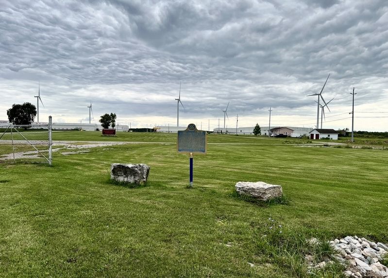
2. Royal Canadian Air Force No.6 Service Flying Training School Marker

Photographed by Tim Boyd, August 21, 2024
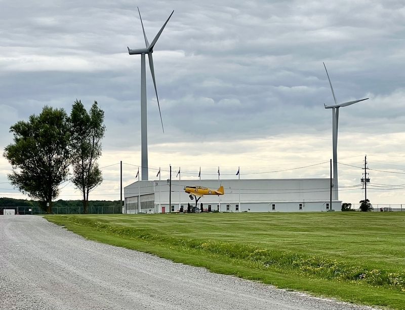
3. Royal Canadian Air Force No.6 Service Flying Training School Museum
Photographed by Tim Boyd, August 21, 2024
4. Royal Canadian Air Force No.6 Service Flying Training School Museum
August 22, 2024
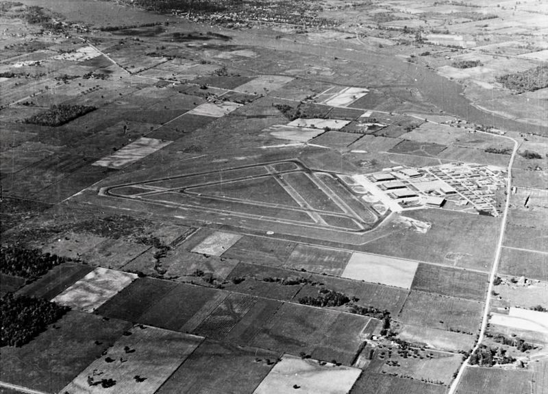
5. Aerial view of No. 6 Service Flying Training School, 1940s
Source: Department of Defence of Canada (public domain)
Credits. This page was last revised on August 23, 2024. It was originally submitted on August 22, 2024, by Tim Boyd of Hamilton, Ontario. This page has been viewed 209 times since then and 42 times this year. Photos: 1, 2, 3, 4, 5. submitted on August 22, 2024, by Tim Boyd of Hamilton, Ontario. • Andrew Ruppenstein was the editor who published this page.
