
Millcreek in Salt Lake County, Utah — The American Mountains (Southwest)
Holladay's First General Store
Photographed by Jeremy Snow, August 19, 2024
1. Holladay's First General Store Marker
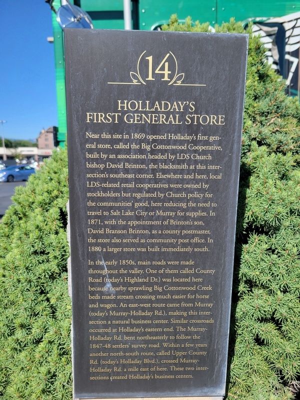
Near this site in 1869 opened Holladay's first general store, called the Big Cottonwood Cooperative, built by an association headed by LDS Church bishop David Brinton, the blacksmith at this intersection's southeast corner. Elsewhere and here, local LDS-related retail cooperatives were owned by stockholders but regulated by Church policy for the communities' good, here reducing the need to travel to Salt Lake City or Murray for supplies. In 1871, with the appointment of Brinton's son, David Branson Brinton, as a county postmaster,the store also served as community post office. In 1880 a larger store was built immediately south.
In the early 1850s, main roads were made throughout the valley. One of them called County Road (today's Highland Dr.) was located here because nearby sprawling Big Cottonwood Creek beds made stream crossing much easier for horse and wagon. An east-west route came from Murray (today's Murray-Holladay Rd.), making this intersection a natural business center. Similar crossroads occurred at Holladay's eastern end. The Murray-Holladay Rd. bent northeasterly to follow the 1847-48 settlers' survey
this page online
Erected by Holladay Historical Commission. (Marker Number 14.)
Topics. This historical marker is listed in these topic lists: Industry & Commerce • Settlements & Settlers. A significant historical year for this entry is 1869.
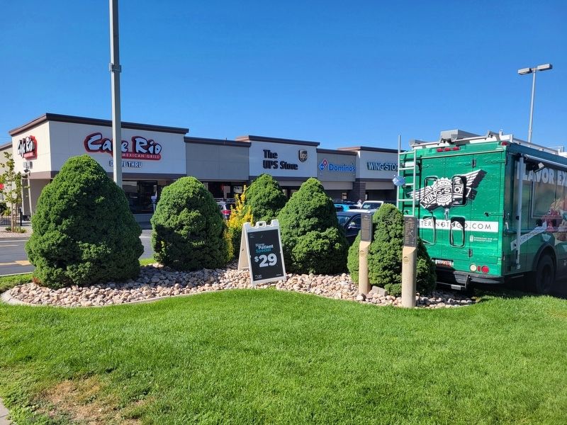
Location. 40° 40.001′ N, 111° 50.372′ W. Marker is in Millcreek, Utah, in Salt Lake County. It is on Highland Drive, on the right when traveling south. Touch for map. Marker is at or near this postal address: 4750 Highland Drive, Salt Lake City UT 84117, United States of America. Touch for directions.

Regionally, this marker is in the Wasatch Front and in Greater Salt Lake. It is also in the American Mountain West and on the Colorado Plateau. Globally, it is in North America, the Rocky Mountains, the Western Hemisphere, the Western World, and the Anglosphere. Historically, it finds itself in what was once New Spain and also Mexico’s Alta California.
Other nearby markers. At least
Photographed by Jeremy Snow, August 19, 2024
2. Holladay's First General Store Marker
Credits. This page was last revised on August 23, 2024. It was originally submitted on August 23, 2024, by Jeremy Snow of Cedar City, Utah. This page has been viewed 596 times since then and 38 times this year. Photos: 1, 2. submitted on August 23, 2024, by Jeremy Snow of Cedar City, Utah. • Andrew Ruppenstein was the editor who published this page.
