Lincoln in Lancaster County, Nebraska — The American Midwest (Upper Plains)
Fairview
Home of William Jennings Bryan
Photographed by Mark Parker, October 14, 2023
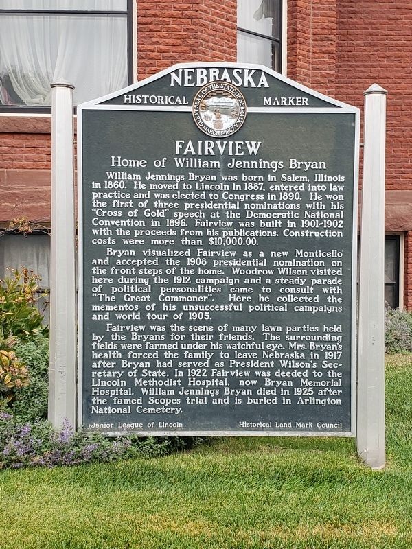
1. Fairview Marker
William Jennings Bryan was born in Salem, Illinois in 1860. He moved to Lincoln in 1887, entered into law practice and was elected to Congress in 1890. He won the first of three presidential nominations with his "Cross of Gold" speech at the Democratic National Convention in 1896. Fairview was built in 1901-1902 with the proceeds from his publications. Construction costs were more than $10,000.00.
Bryan visualized Fairview as a new Monticello and accepted the 1908 presidential nomination on the front steps of the home. Woodrow Wilson visited here during the 1912 campaign and a steady parade of political personalities came to consult with "The Great Commoner". Here he collected the mementos of his unsuccessful political campaigns and world tour of 1905.
Fairview was the scene of many lawn parties held by the Bryans for their friends. The surrounding fields were farmed under his watchful eye. Mrs. Bryan's health forced the family to leave Nebraska in 1917 after Bryan had served as President Wilson's Secretary of State. In 1922 Fairview was deeded to the Lincoln Methodist Hospital, now Bryan Memorial Hospital. William
this page online
Erected by Junior League of Lincoln, Historical Land Mark Council. (Marker Number 20.)
Topics and series. This historical marker is listed in this topic list: Architecture. In addition, it is included in the Nebraska State Historical Society series list. A significant historical year for this entry is 1901.
Location. 40° 47.74′ N, 96° 39.094′ W. Marker is in Lincoln, Nebraska, in Lancaster County. It is on Sumner Street west of South 50th Street, on the right when traveling west. Fairview is located on the south side of the Bryan Medical Complex. Parking is at the hospital lot to the east. The marker is in front of the house. Touch for map. Marker is at or near this postal address: Sumner Street, Lincoln NE 68506, United States of America. Touch for directions.

Regionally, this marker is in the American Midwest, in the Corn Belt, and on the prairies. Globally, it is in North America, the Western Hemisphere, the Western World, and the Anglosphere. Historically, it finds itself in what was once the Louisiana Purchase.
Other nearby markers. At
Photographed by Mark Parker, October 14, 2023
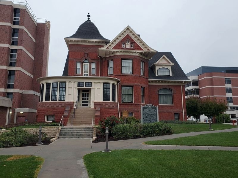
2. Fairview and Marker
The marker is at the front of the house, to the east of the exterior stairs.
Photographed by Mark Parker, October 14, 2023
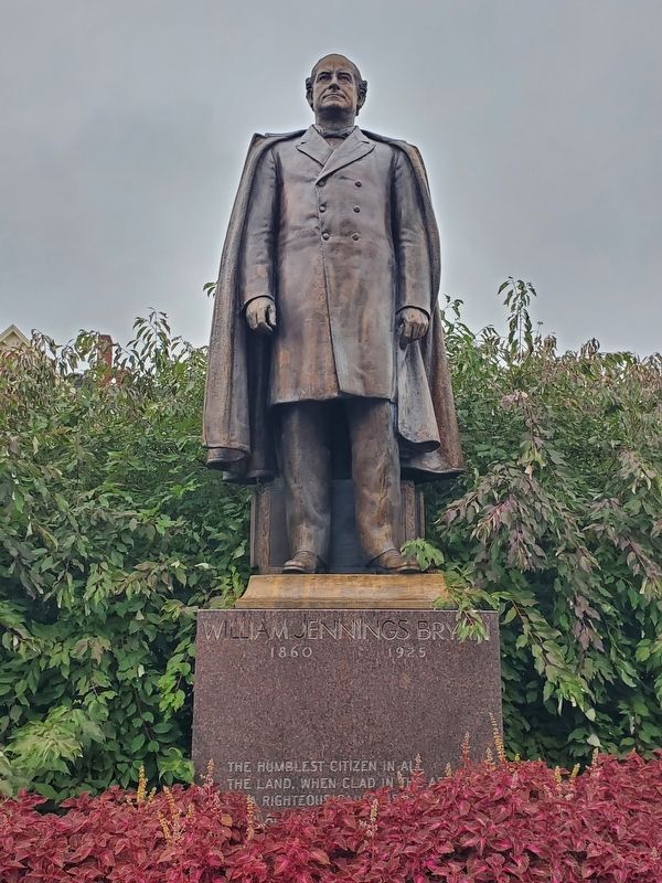
3. William Jennings Bryan statue, placed near the sidewalk in front of Fairview on Sumner Street
Credits. This page was last revised on March 5, 2026. It was originally submitted on August 23, 2024, by Mark Parker of Hickory, North Carolina. This page has been viewed 210 times since then and 23 times this year. Photos: 1, 2, 3. submitted on August 23, 2024, by Mark Parker of Hickory, North Carolina. • J. Makali Bruton was the editor who published this page.
