Near Dillard in Crawford County, Missouri — The American Midwest (Upper Plains)
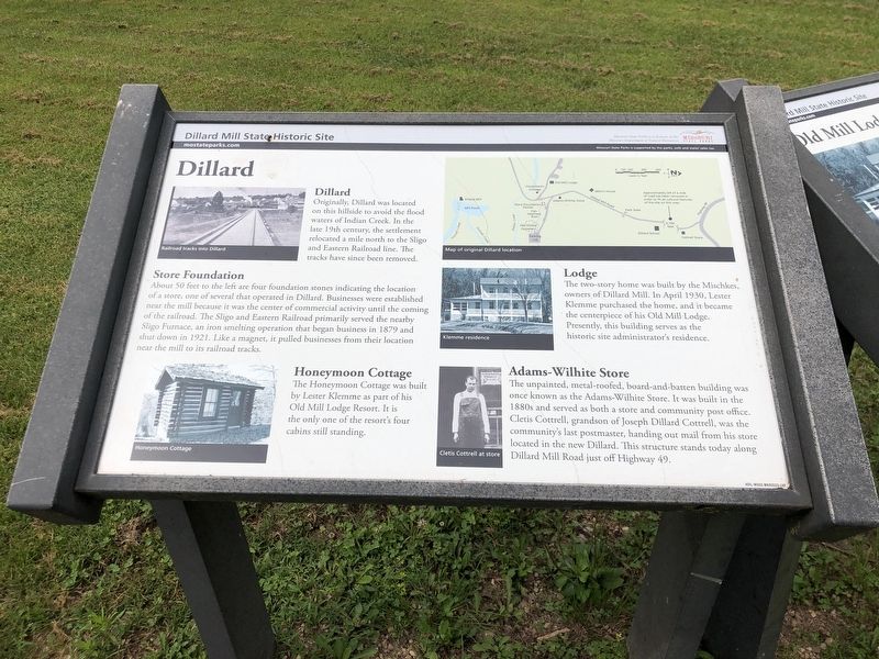
Dillard
Photographed by Duane and Tracy Marsteller, July 21, 2024
1. Dillard Marker
Store Foundation
About 50 feet to the left are four foundation stones indicating the location of a store, one of several that operated in Dillard. Businesses were established near the mill because it was the center of commercial activity until the coming of the railroad. The Sligo and Eastern Railroad primarily served the nearby Sligo Furnace, an iron smelting operation that began business in 1879 and shut down in 1921. Like a magnet, it pulled businesses from their location near the mill to its railroad tracks.
Honeymoon Cottage
The Honeymoon Cottage was built by Lester Klemme as part of his Old Mill Lodge Resort. It is the only one of the resort's four cabins still standing.
Lodge
The two-story home was built by the Mischkes, owners of Dillard Mill. In April 1930, Lester Klemme purchased the home, and it became the centerpiece of his Old Mill Lodge. Presently,
this page online
Adams-Wilhite Store
The unpainted, metal-roofed, board-and-batten building was once known as the Adams-Wilhite Store. It was built in the 1880s and served as both a store and community post office. Cletis Cottrell, grandson of Joseph Dillard Cottrell, was the community's last postmaster, handing out mail from his store located in the new Dillard. This structure stands today along Dillard Mill Road just off Highway 49.
[Captions, clockwise from top right]
• Map of original Dillard location
• Klemme residence
• Cletis Cottrell at store
• Honeymoon Cottage
• Railroad tracks into Dillard
Erected by Missouri State Parks.
Topics. This historical marker is listed in these topic lists: Industry & Commerce • Railroads & Streetcars • Settlements & Settlers. A significant historical month for this entry is April 1930.
Location. 37° 43.235′ N, 91° 12.384′ W. Marker is near Dillard, Missouri, in Crawford County. It can be reached from Dillard Mill Road (County Road 811) 1.6 miles south of State Highway 49, on the left when traveling south. Marker is in
Photographed by Duane and Tracy Marsteller, July 21, 2024
2. Dillard Marker
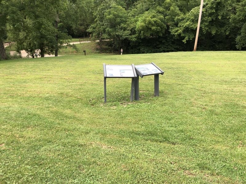
Featured marker is on the left.

Regionally, this marker is in South-Central Missouri. It is also in the American Ozarks, in the Lewis & Clark Corridor, and in the Corn Belt. Globally, it is in North America, the Western Hemisphere, the Western World, and the Anglosphere. Historically, it finds itself in what was once the territory of the Mississippian Culture, the Louisiana Purchase, and the Antebellum South.
Other nearby markers. At least 6 other markers are within 11 miles of this marker, measured as the crow flies: Old Mill Lodge (here, next to this marker); Fish Raceway (within shouting distance of this marker); Dillard Store and Post Office (within shouting distance of this marker); Old Dillard Cemetery (about 500 feet away, measured in a direct line); Turning Water into Power (about 500 feet away); Veterans Memorial (approx. 10.2 miles away).
Credits. This page was last revised on August 27, 2024. It was originally submitted on August 23, 2024, by Duane and Tracy Marsteller of Murfreesboro, Tennessee. This page has been viewed 214 times since then and 35 times this year. Photos: 1, 2. submitted on August 23, 2024, by Duane and Tracy Marsteller of Murfreesboro, Tennessee.
