Mooresville in Iredell County, North Carolina — The American South (South Atlantic)
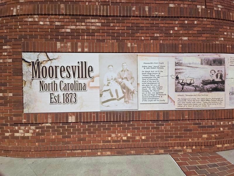
Mooresville
North Carolina
| — | Est. 1873 | — |
Photographed by Mark Parker, August 23, 2024
1. Mooresvilles mural
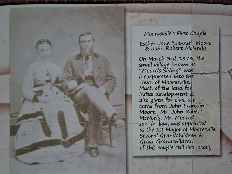
Mooresville's First Couple
Esther Jane "Jennie" Moore & John Robert McNeely
On March 3rd 1873, the small village known as "Moore's Siding" was incorporated into the Town of Mooresville. Much of the land for initial development & also given for civic use came from John Franklin Moore. Mr. John Robert McNeely, Mr. Moores' son-in-law, was appointed as the 1st Mayor of Mooresville. Several Grandchildren & Great Grandchildren of this couple still live locally.
Atlantic, Tennessee, and Ohio Railroad
The background of this, the oldest known photograph of Mooresville, shows the train depot where flatbed railroad cars were loaded with cotton. Today the building is the Depot Visual Arts Center just a few blocks away at the corner of N. Main St. and W. Center St.
The cotton weighing platform was at the corner of N. Broad St. and Iredell Ave. about 100 yards from where you are standing now. A similar platform stood next to the Train Depot where John Franklin Moore Park is located today.
Topics. This historical marker is listed in these topic lists: Industry & Commerce • Railroads & Streetcars • Settlements & Settlers. A significant historical date for this entry is March 3, 1873.
Location. 35° 35.065′ N,
this page online

Regionally, this marker is in the Piedmont and in Greater Charlotte. It is also in the American South and specifically in the Upper South. Globally, it is in North America, the Western Hemisphere, the Western World, and the Anglosphere. Historically, it finds itself in what was once the territory of the Mississippian Culture, one of the original Thirteen Colonies, one of the Confederate States of America, and the Antebellum South.
Other nearby markers. At least 8 other markers are within walking distance of this marker: The Mooresville Cotton Mill (a few steps from this marker); Mooresville Moors (a few steps from this marker); Mooresville Notables (a few steps from this marker); Mooresville Early Businesses
Photographed by Mark Parker, August 23, 2024
2. Mooresville's First Couple panel
More about this marker. The marker is a part of a history wall depicting significant events and persons connected with Mooresville.
Photographed by Mark Parker, August 23, 2024
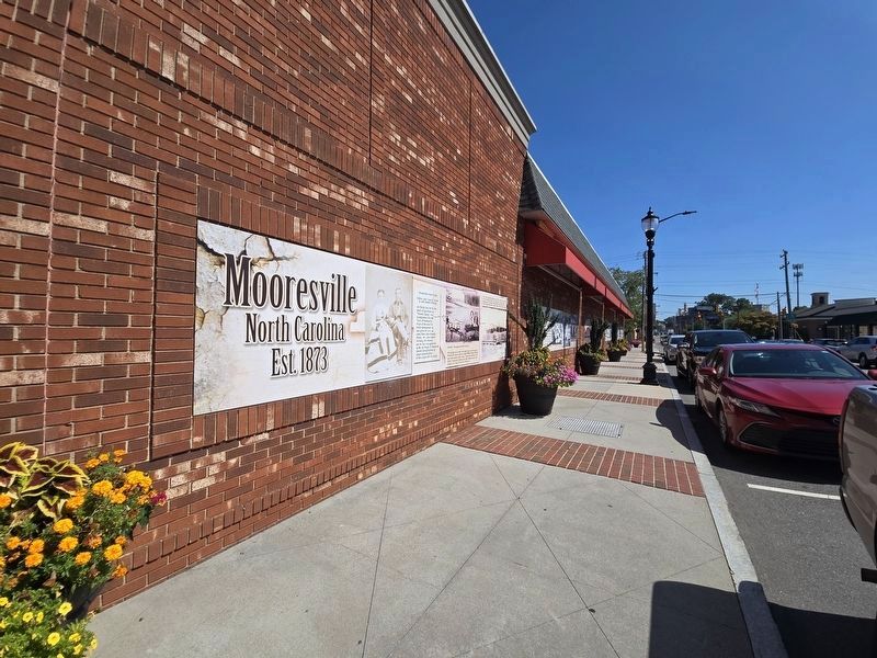
3. Mooresville mural looking north along N Main St
Photographed by Mark Parker, August 23, 2024
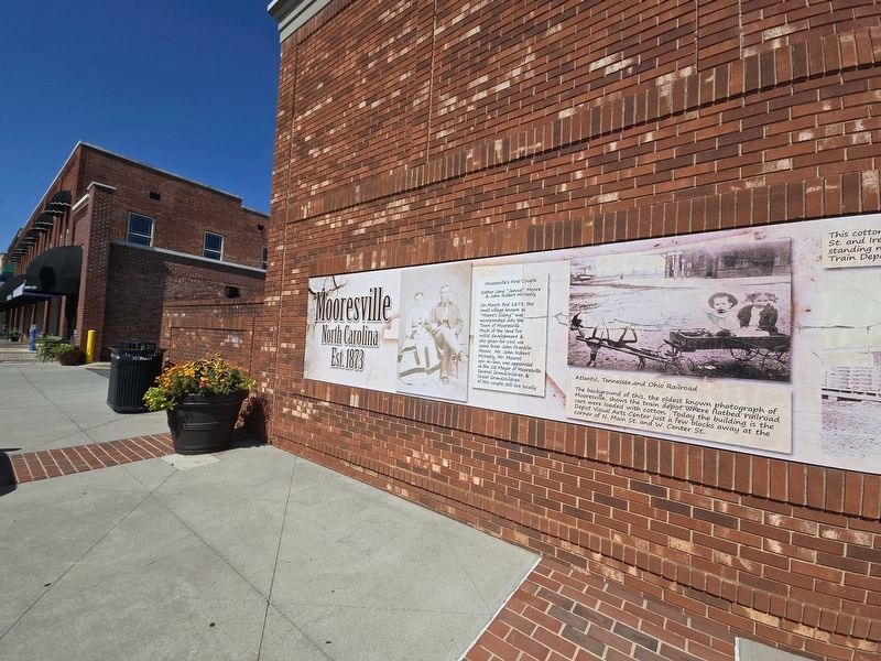
4. Mooresville mural looking south along N Main St
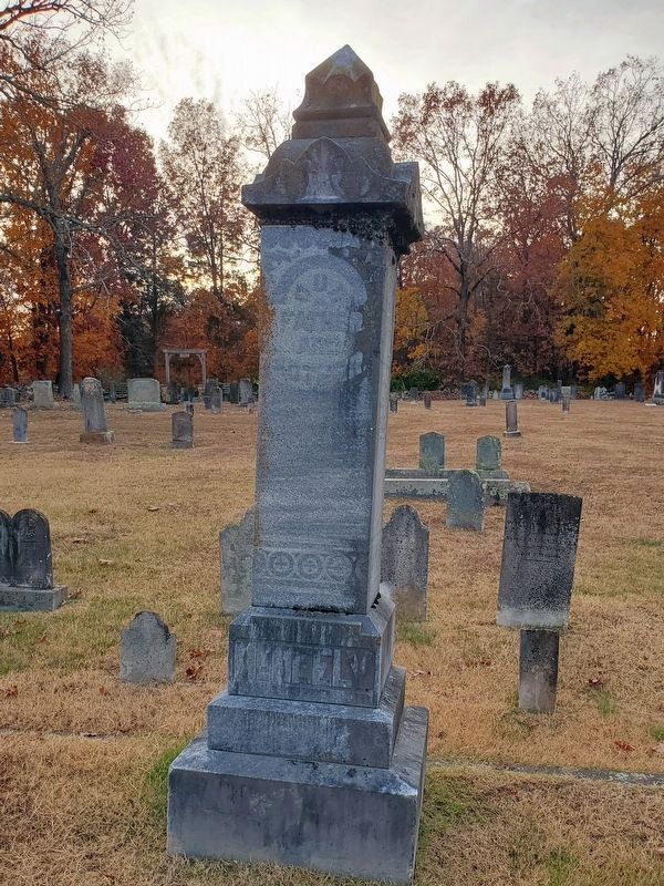
Photographed by Mark Parker, November 14, 2023
5. Gravestone of John and Jennie McNeely
Centre Presbyterian Church cemetery, Mooresville
Credits. This page was last revised on August 27, 2024. It was originally submitted on August 23, 2024, by Mark Parker of Hickory, North Carolina. This page has been viewed 355 times since then and 75 times this year. Photos: 1, 2, 3, 4, 5. submitted on August 23, 2024, by Mark Parker of Hickory, North Carolina. • Bernard Fisher was the editor who published this page.
