Near Upper Sandusky in Wyandot County, Ohio — The American Midwest (Great Lakes)
Historic Salem Church
Salem Church of Christ
| — | “Indian Bush”. | — |
Photographed by Rev. Ronald Irick, August 15, 2017
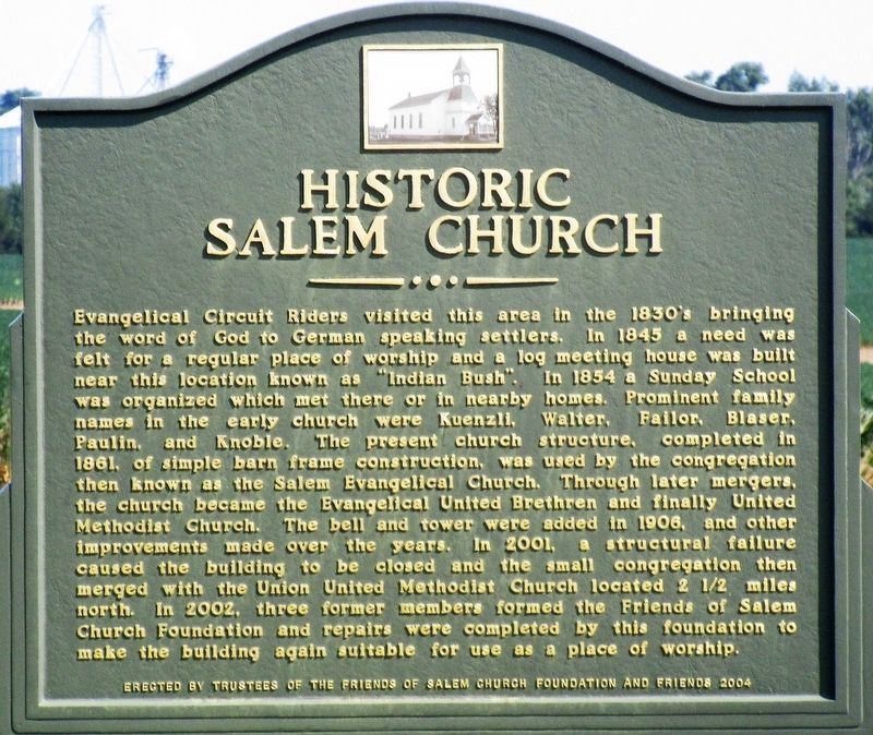
1. Historic Salem Church Marker
Evangelical Circuit Riders visited this area in the 1830’s bringing the Word of God to German speaking settlers. In 1845 a need was felt for a regular place of worship and a log meeting house was built near this location known as “Indian Bush”. In 1854 a Sunday School was organized which met there or in nearby homes. Prominent family names in the early church were Kuenzli, Walter, Failor, Blaser, Paulin, and Knoble. The present church structure, completed in 1861, of simple barn frame construction, was used by the congregation then known as the Salem Evangelical Church. Through later mergers, the church became the Evangelical United Brethren and finally United Methodist Church. The bell and tower were added in 1906, and other improvements made over the years. In 2001, a structural failure caused the building to be closed and the small congregation then merged with the Union United Methodist Church located 2½ miles north. In 2002, three former members formed the Friends of Salem Church Foundation and repairs were completed by this foundation to make the building again suitable for use as a place of worship.
Erected 2004
this page online
Topics. This historical marker is listed in these topic lists: Architecture • Religion & Religious Structures • Settlements & Settlers. A significant historical year for this entry is 1845.
Location. 40° 50.44′ N, 83° 11.552′ W. Marker is near Upper Sandusky, Ohio, in Wyandot County. It is on Old Lincoln Hwy (County Road 330) 0.2 miles west of County Road 128, on the right when traveling west. The marker stands between Salem Cemetery and the Church. Touch for map. Marker is at or near this postal address: 4058 Old Lincoln Hwy, Upper Sandusky OH 43351, United States of America. Touch for directions.

Regionally, this marker is in the Till Plains. It is also in the American Midwest and in the Corn Belt. Globally, it is in North America, the Western Hemisphere, the Western World, and the Anglosphere. Historically, it finds itself in what was once the Viceroyalty of New France, the Haudenosaunee (Iroquois) Confederacy, the territory of the Mississippian Culture, and the Northwest Territory.
Other nearby markers. At least 8 other markers are within 5
Photographed by Rev. Ronald Irick, August 15, 2017
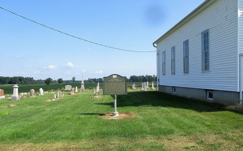
2. Historic Salem Church Marker
full view of marker, on west side of church, at cemetery
Also see . . . A History of Salem Church. This website includes a history of the church written by longtime member Miss Ruth L. Failor, as well as materials from the church's centennial celebration in October 1961. (Submitted on August 23, 2024, by Edwin McClain of Columbia, South Carolina.)
Photographed by Rev. Ronald Irick, August 15, 2017
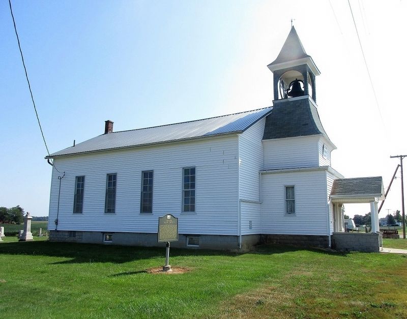
3. Historic Salem Church Marker
marker and church
Photographed by Rev. Ronald Irick, August 15, 2017
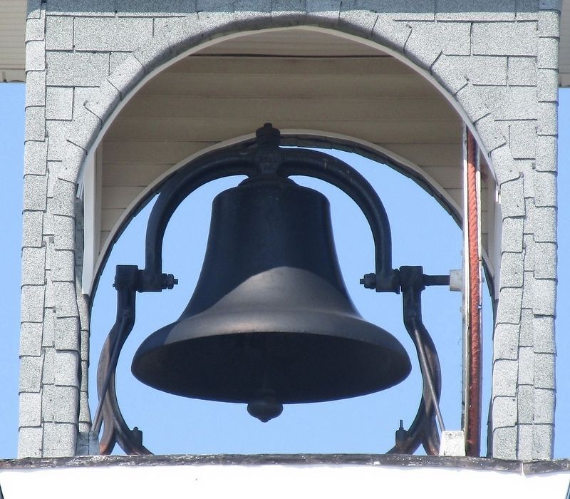
4. Historic Salem Church Marker
the bell
Credits. This page was last revised on August 24, 2024. It was originally submitted on August 16, 2017, by Rev. Ronald Irick of West Liberty, Ohio. This page has been viewed 1,073 times since then and 66 times this year. Last updated on August 23, 2024, by Edwin McClain of Columbia, South Carolina. Photos: 1, 2, 3, 4. submitted on August 16, 2017, by Rev. Ronald Irick of West Liberty, Ohio. • Devry Becker Jones was the editor who published this page.
