David City in Butler County, Nebraska — The American Midwest (Upper Plains)
North Side of the Square
Photographed by Mark Parker, October 13, 2023
1. North Side of the Square Marker
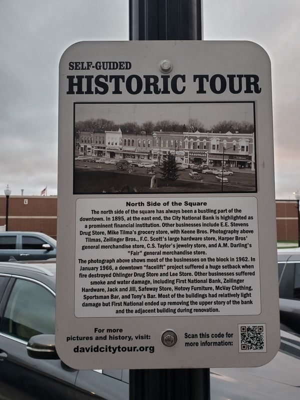
The north side of the square has always been a bustling part of the downtown. In 1895, at the east end, the City National Bank is highlighted as a prominent financial institution. Other businesses include E.E. Stevens Drug Store, Mike Tilma's grocery store, with Keene Bros. Photography above Tilmas, Zeilinger Bros., F.C. Scott's large hardware store, Harper Bros' general merchandise store, C.S. Taylor's jewelry store, and A.M. Darling's "Fair" general merchandise store.
The photograph above shows most of the businesses on the block in 1962. In January 1966, a downtown "facelift" project suffered a huge setback when fire destroyed Ohlinger Drug Store and Lee Store. Other businesses suffered smoke and water damage, including First National Bank, Zeilinger Hardware, Jack and Jill, Safeway Store, Hotovy Furniture, McVay Clothing, Sportsman Bar, and Tony's Bar. Most of the buildings had relatively light damage but First National ended up removing the upper story of the bank and the adjacent building during renovation.
Topics. This historical marker is listed in these topic lists: Architecture • Industry & Commerce. A significant historical year for this entry is 1895.
Location. 41° 15.239′ N,
this page online

Regionally, this marker is in the American Midwest, in the Corn Belt, and on the prairies. Globally, it is in North America, the Western Hemisphere, the Western World, and the Anglosphere. Historically, it finds itself in what was once the Louisiana Purchase.
Other nearby markers. At least 8 other markers are within walking distance of this marker: T. B. Myers Building (within shouting distance of this marker); Wolfe Building (within shouting distance of this marker); To the Pioneers of Butler County (within shouting distance of this marker); Built in 1900 as The Boston Studio (about 300 feet away, measured in a direct line); Schweser's (about 300 feet away);
Photographed by Mark Parker, October 13, 2023
2. North Side of the Square Marker
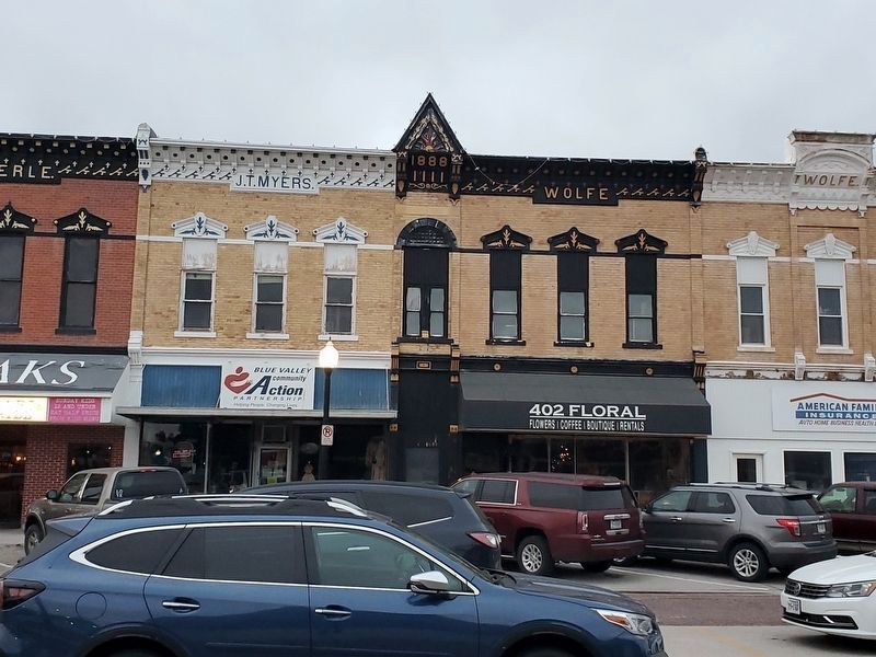
The marker is on the storefront side of the lamp post in front of the J.T. Myers Building (Blue Valley Community Action).
Photographed by Mark Parker, October 13, 2023
3. North Side of the Square
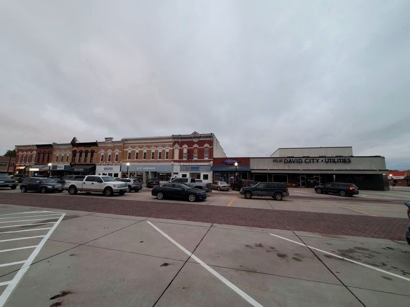
This view shows the following buildings from far left to right: T.B. Myers, Lierle, J.T. Myers, Wolfe and Boston. The second story above what is currently Roper's was torn down by First National Bank after a fire in 1966 and not rebuilt. David City Utilities is not a part of the original building blocks.
Credits. This page was last revised on September 11, 2024. It was originally submitted on August 24, 2024, by Mark Parker of Hickory, North Carolina. This page has been viewed 151 times since then and 18 times this year. Photos: 1, 2, 3. submitted on August 24, 2024, by Mark Parker of Hickory, North Carolina. • J. Makali Bruton was the editor who published this page.
