Northgate in Colorado Springs in El Paso County, Colorado — The American Mountains (Southwest)
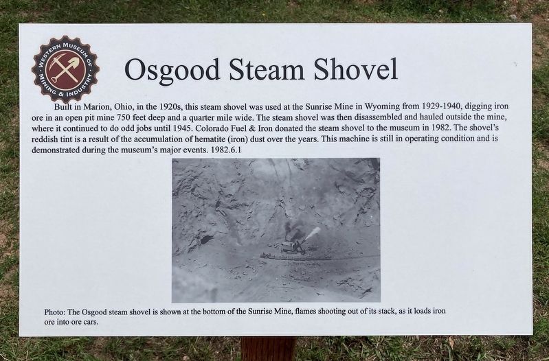
Osgood Steam Shovel
Photographed by Craig Baker, August 23, 2024
1. Osgood Steam Shovel Marker
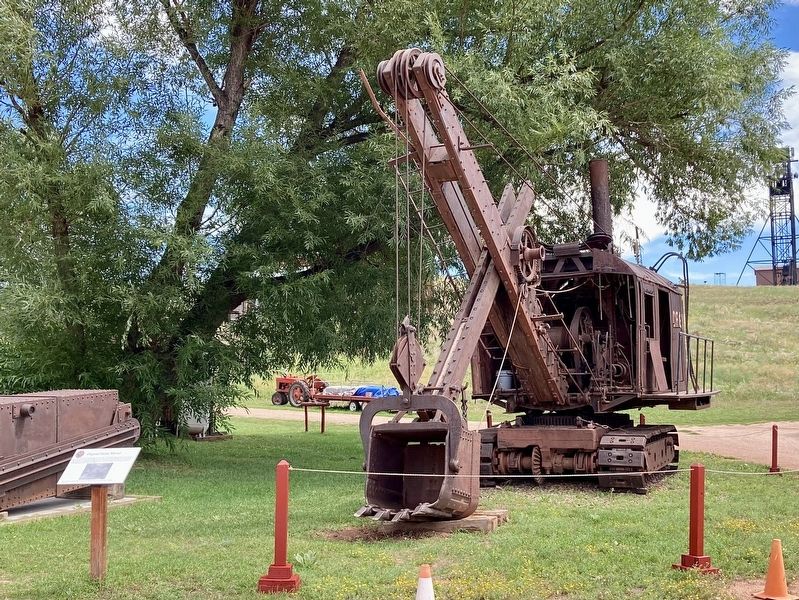
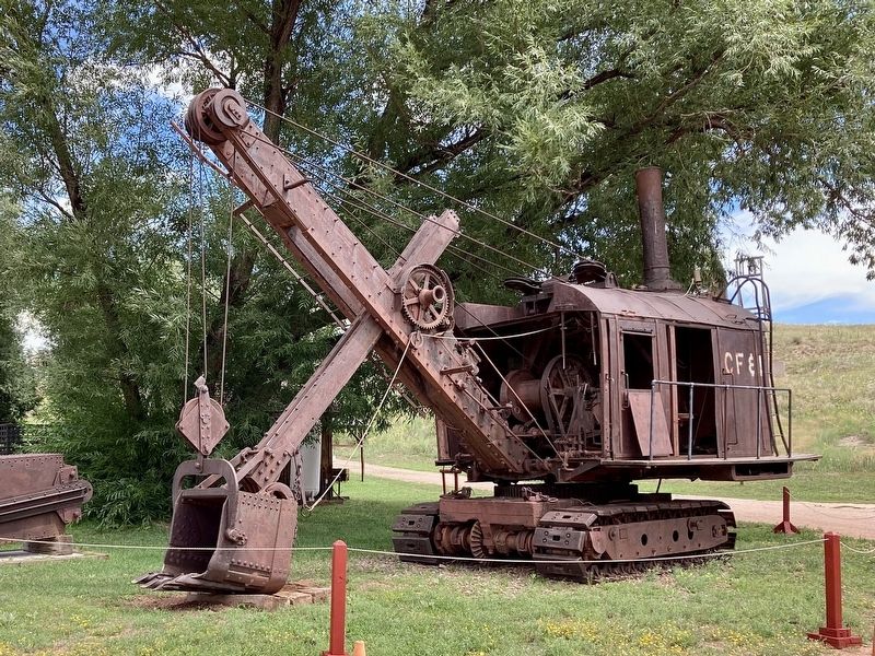
Built in Marion, Ohio, in the 1920s, this steam shovel was used at the Sunrise Mine in Wyoming from 1929-1940, digging iron ore in an open pit mine 750 feet deep and a quarter mile wide. The steam shovel was then disassembled and hauled outside the mine, where it continued to do odd jobs until 1945. Colorado Fuel & Iron donated the steam shovel to the museum in 1982. The shovel's reddish tint is a result of the accumulation of hematite (iron) dust over the years. This machine is still in operating condition and is demonstrated during the museum's major events. 1982.6.1
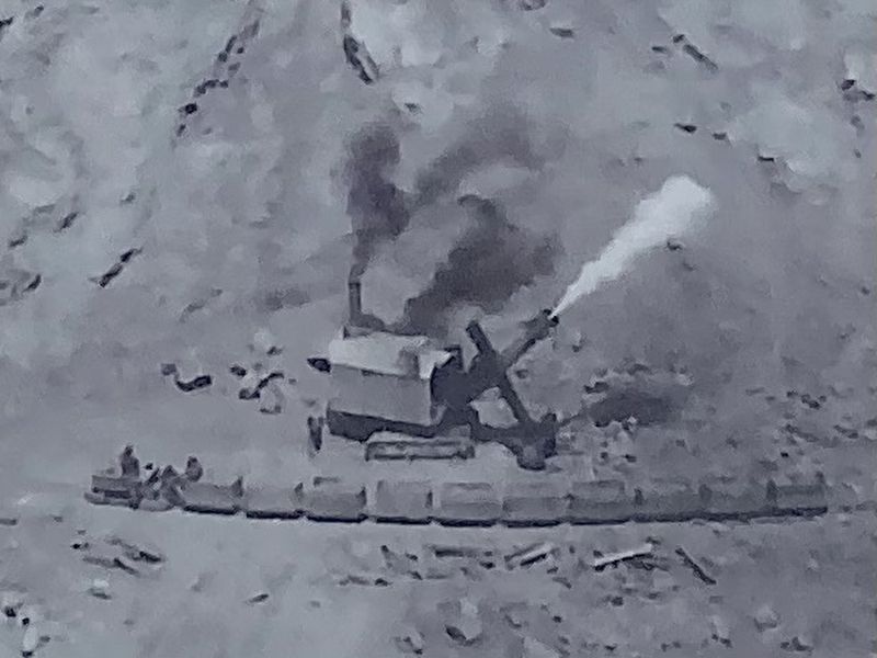
Photo: The Osgood steam shovel is shown at the bottom of the Sunrise Mine, flames shooting out of its stack, as it loads iron ore into ore cars.
Erected by Western Museum of Mining & Industry.
Topics. This historical marker is listed in this topic list: Industry & Commerce. A significant historical year for this entry is 1945.
Location. 39° 1.555′ N, 104° 49.721′ W. Marker is in Colorado Springs, Colorado, in El Paso County. It is in Northgate. It can be reached from North Gate Boulevard just east of Interstate 25, on the right when traveling
this page online

Regionally, this marker is in the Front Range and in Pikes Peak Region. It is also in the American Mountain West. Globally, it is in North America, the Rocky Mountains, the Western Hemisphere, the Western World, and the Anglosphere. Historically, it finds itself in what was once the Comanchería.
Other nearby markers. At least 8 other markers are within 2 miles of this marker, measured as the crow flies: Cornish Walking Beam Engine (within shouting distance of this marker); The Vietnam War (approx. 1.1 miles away); a different marker also named The Vietnam War (approx. 1.1 miles away); The Korean War (approx. 1.1 miles away); a different marker also named The Vietnam War (approx. 1.1 miles away); The Cold War Begins (approx. 1.1 miles away); The Persian Gulf War (approx. 1.1 miles away); World War II (approx. 1.1 miles away).
Photographed by Craig Baker, August 23, 2024
2. Osgood Steam Shovel and Marker
Photographed by Craig Baker, August 23, 2024
3. Osgood Steam Shovel
Photographed by Craig Baker, August 23, 2024
4. Osgood Steam Shovel
This photo is on the marker.
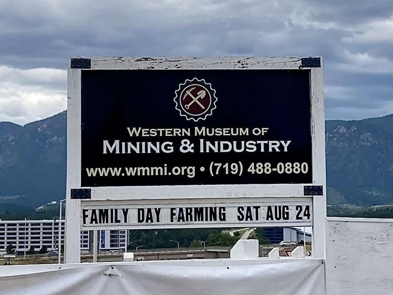
Photographed by Craig Baker, August 23, 2024
5. Sign at Driveway
Credits. This page was last revised on August 25, 2024. It was originally submitted on August 25, 2024, by Craig Baker of Sylmar, California. This page has been viewed 403 times since then and 61 times this year. Photos: 1, 2, 3, 4, 5. submitted on August 25, 2024, by Craig Baker of Sylmar, California.
