
Near Eureka Roadhouse in Matanuska-Susitna Borough, Alaska — Northwest (North America)
U.S. Army Explores the Wilderness
Gold Rush Centennial
Photographed by William Fischer, Jr., August 13, 2024
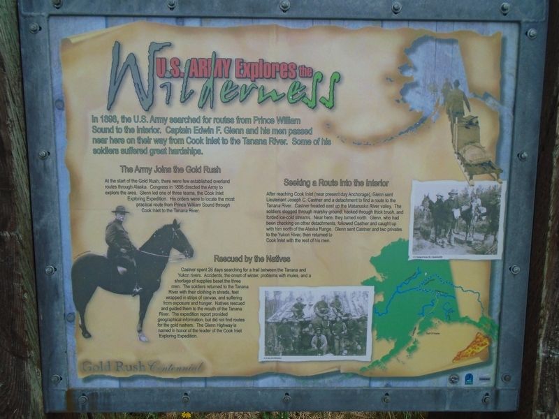
1. U.S. Army Explores the Wilderness Marker
In 1898, the U.S. Army searched for routes from Prince William Sound to the Interior. Captain Edwin F. Glenn and his men passed near here on their way from Cook Inlet to the Tanana River. Some of his soldiers suffered great hardships.
The Army Joins the Gold Rush
At the start of the Gold Rush, there were low established overland routes through Alaska Congress in 1898 directed the Army to explore the area. Glenn led one of three teams, the Cook Inlet Exploring Expedition. His orders were to locate the most practical route from Prince William Sound through Cook Inlet to the Tanana River.
Seeking a Route Into the Interior
After reaching Cook Inlet (near present day Anchorage), Glenn sent Lieutenant Joseph C. Castner and a detachment to find a route to the Tanana River. Castner headed east up the Matanuska River valley. The soldiers slogged through marshy ground, hacked through thick brush, and forded ice-cold streams. Near here, they turned north. Glenn, who had been checking on other detachments, followed Castner and caught up with him north of the Alaska Range. Glenn sent Castner and two privates to
this page online
Rescued by the Natives
Castner spent 28 days searching for a trail between the Tanana and Yukon rivers. Accidents, the onset of winter, problems with mules, and a shortage of supplies beset the three men. The soldiers returned to the Tanana River with their clothing in shreds, feet wrapped in strips of canvas, and suffering from exposure and hunger. Natives rescued and guided them to the mouth of the Tanana River. The expedition report provided geographical information, but did not find routes for the gold rushers. The Glenn Highway is named in honor of the leader of the Cook Inlet Exploring Expedition.
Erected by Alaska State Parks and Others.
Topics. This historical marker is listed in this topic list: Exploration. A significant historical year for this entry is 1898.
Location. 61° 56.864′ N, 147° 8.805′ W. Marker is near Eureka Roadhouse, Alaska, in Matanuska-Susitna Borough. It is on Glenn Highway (Alaska Route 1 at milepost 129), on the right when traveling north. Marker is at a roadside pulloff. Touch for map. Marker is in this post office
Photographed by William Fischer, Jr., August 13, 2024
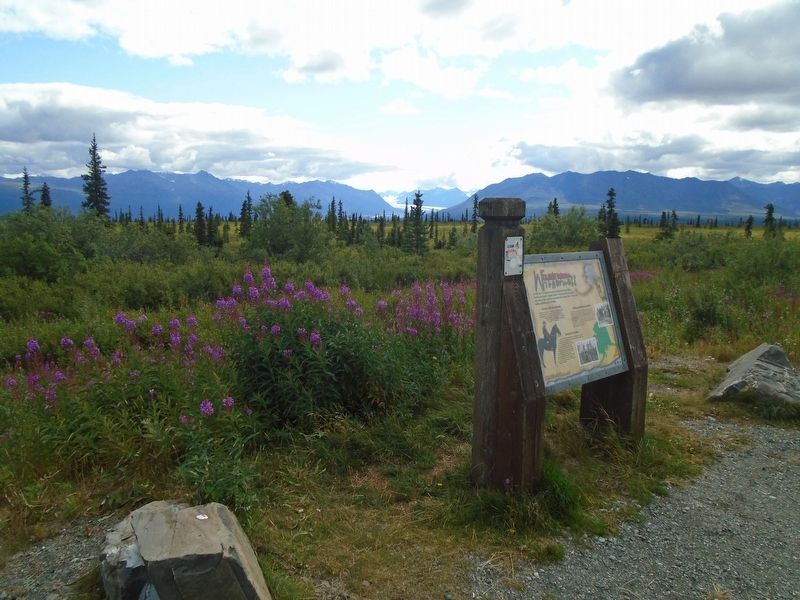
2. U.S. Army Explores the Wilderness Marker

Regionally, this marker is in the Alaska Railroad Corridor, in the Athabascan Region, in the Mat-Su Valley, and in Southcentral Alaska. It is also on the American Pacific Coast. Globally, it is in North America, the Pacific Rim, the Western Hemisphere, the Western World, and the Anglosphere. Historically, it finds itself in what was once the Russian Empire.
Also see . . . Edwin F. Glenn papers, Archives and Special Collections, Consortium Library, Univ AK Anchorage. (Submitted on August 27, 2024, by William Fischer, Jr. of Reynoldsburg, Ohio.)
Photographed by William Fischer, Jr., August 13, 2024
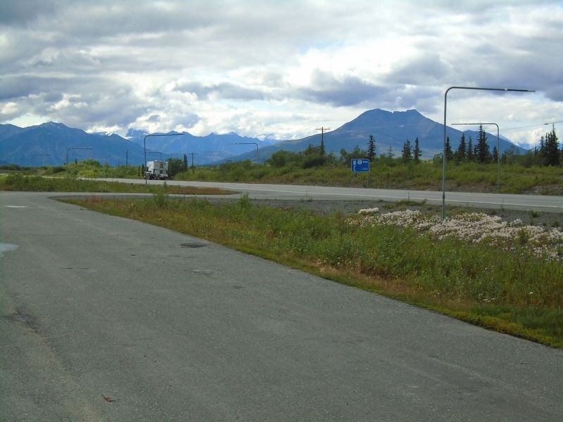
3. View from U.S. Army Explores the Wilderness Marker
Photographed by Unknown, 1898
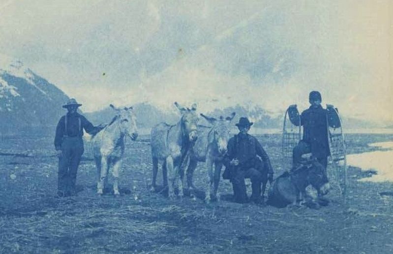
4. Members of Expedition No. 3 with mules and a dog, 1898
Consortium Library, University of Alaska Anchorage
Credits. This page was last revised on August 27, 2024. It was originally submitted on August 27, 2024, by William Fischer, Jr. of Reynoldsburg, Ohio. This page has been viewed 234 times since then and 54 times this year. Photos: 1, 2, 3, 4. submitted on August 27, 2024, by William Fischer, Jr. of Reynoldsburg, Ohio.
