Coldspring in San Jacinto County, Texas — The American South (West South Central)
Coldspring Methodist Church
| — | United Methodist Church Registered Historic Site No. 445 | — |
Photographed by Brian Anderson, June 16, 2018
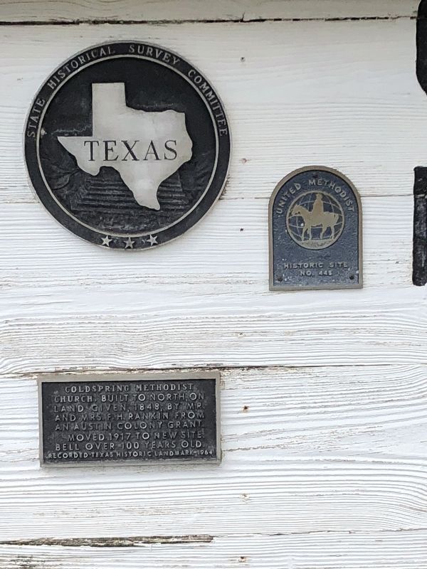
1. Coldspring Methodist Church Marker
Built to north, on land given, 1848, by Mr. and Mrs. F. H. Rankin, from an Austin Colony grant.
Moved 1917 to new site. Bell over 100 years old.
Recorded Texas Historic Landmark - 1964
Erected 1964 by State Historical Survey Committee. (Marker Number 13848.)
Topics and series. This historical marker is listed in this topic list: Religion & Religious Structures. In addition, it is included in the United Methodist Church Historic Sites series list. A significant historical year for this entry is 1848.
Location. 30° 35.56′ N, 95° 7.816′ W. Marker is in Coldspring, Texas, in San Jacinto County. It is on Cemetery Road (State Highway 150) north of Byrd Avenue (State Route 150), on the left when traveling south. Touch for map. Marker is at or near this postal address: 1 Cemetery Road, Coldspring TX 77331, United States of America. Touch for directions.

Regionally, this marker is in the American South and in the Piney Woods. Globally, it is in North America, a Gulf of Mexico state, the Western Hemisphere, the Western World, and the Anglosphere. Historically, it finds itself in what was once New Spain, the Republic
this page online
Other nearby markers. At least 8 other markers are within walking distance of this marker: Governor George Tyler Wood (about 400 feet away, measured in a direct line); J. M. Hansbro's Law Office (about 400 feet away); Townsite of Coldspring (about 500 feet away); San Jacinto County Courthouse (about 500 feet away); McClanahan-Trapp House (about 700 feet away); Mount Moriah Lodge No. 37, A.F. & A.M. (about 700 feet away); First Baptist Church of Coldspring (approx. 0.2 miles away); Old San Jacinto County Jail (approx. ¼ mile away). Touch for a list and map of all markers in Coldspring.
Photographed by Brian Anderson, June 16, 2018
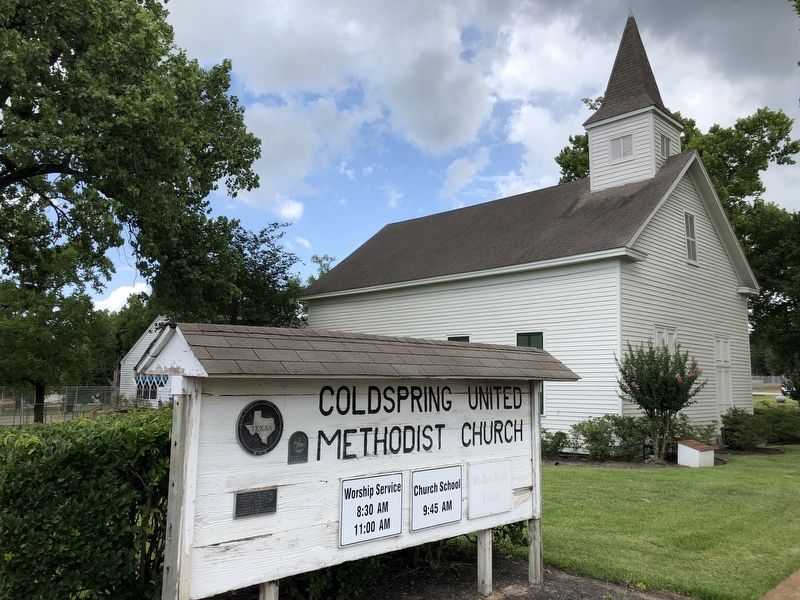
2. Coldspring Methodist Church - old location
Photographed by Jeff Leichsenring, August 26, 2024
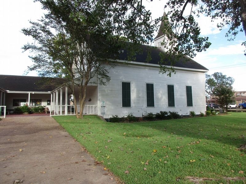
3. New location of Coldspring Methodist Church Marker
Credits. This page was last revised on August 28, 2024. It was originally submitted on June 19, 2018, by Brian Anderson of New Albany, Ohio. This page has been viewed 731 times since then and 200 times this year. Last updated on August 27, 2024, by Jeff Leichsenring of Garland, Texas. Photos: 1, 2. submitted on June 19, 2018, by Brian Anderson of New Albany, Ohio. 3. submitted on August 27, 2024, by Jeff Leichsenring of Garland, Texas. • Devry Becker Jones was the editor who published this page.
