Near Fingal in Elgin County, Ontario — Central Canada (North America)
Burwell’s Corners

Photographed by Tim Boyd, August 23, 2024
1. Burwell’s Corners Marker
Burwell's Corners is named after Mahlon Burwell, the son of United Empire Loyalists, who came to the Talbot Settlement in 1809 at the request of Thomas Talbot, a colonial land administrator. Mahlon Burwell surveyed much of the land from Essex to Haldimand and was the Registrar of Deeds for Middlesex and Elgin Counties. Burwell ran a brickyard for chimney and house construction in the neighbourhood, operated by William Singer, and his foresight preserved the Southwold Earthworks National Historic Site, a Chonnonton village. You can visit the earthworks at 7930 lona Road.
Mahlon Burwell and wife, Sarah Haun (or Hawn) had 9 children. Their first home was on the Talbot Creek flats. Their second home was a log dwelling and then a frame house at Burwell's Corners southwest. Their third home was a brick house on the Dunwich north side. It is here in 1825 Mahlon set up his land registry office, which was marked by a cairn erected by the Elgin Historical Society in 1924 shown in the picture. In 1883 this office was moved to London. Colonel and Mrs. Burwell are buried in St. Stephen's Cemetery at 33105 Fingal Line. Please
this page online
Topics. This historical marker is listed in these topic lists: Industry & Commerce • Settlements & Settlers. A significant historical year for this entry is 1825.
Location. 42° 39.801′ N, 81° 21.304′ W. Marker is near Fingal, Ontario, in Elgin County. It is on Fingal Line (County Road 16) one kilometer west of Iona Road, on the left when traveling south. Touch for map. Marker is at or near this postal address: 33105 County Road 16, Fingal ON N0L 1K0, Canada. Touch for directions.

Regionally, this marker is in the Southwest Ontario Area and in Southwestern Ontario. It is also in Central Canada. Globally, it is in North America, on the Great Lakes, in the Western Hemisphere, in the Western World, and in the Anglosphere. Historically, it finds itself in what was once a British colony, the Viceroyalty of New France, the Haudenosaunee (Iroquois) Confederacy, and Rupert’s Land.
Other nearby markers. At least 8 other markers are within 10 kilometers of this marker, measured as the crow flies: Col. Mahlon Burwell (here, next to this marker); Southwold Earthworks/Les Fortifications en Terre de Southwold
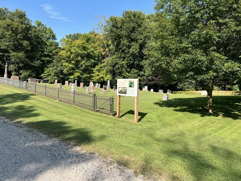
Photographed by Tim Boyd, August 23, 2024
2. Burwell’s Corners Marker
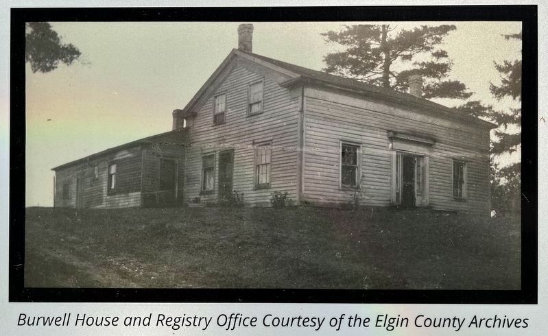
3. Burwell’s Corners marker photo detail
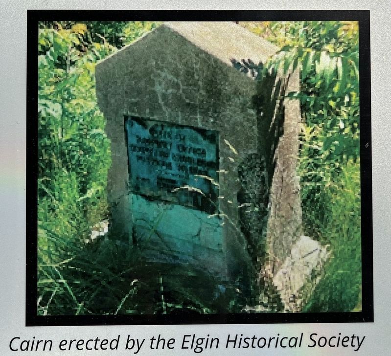
4. Burwell’s Corners marker photo detail
Credits. This page was last revised on August 29, 2024. It was originally submitted on August 28, 2024, by Tim Boyd of Hamilton, Ontario. This page has been viewed 345 times since then and 51 times this year. Photos: 1, 2, 3, 4. submitted on August 28, 2024, by Tim Boyd of Hamilton, Ontario. • Andrew Ruppenstein was the editor who published this page.
