
The Founding of Midland
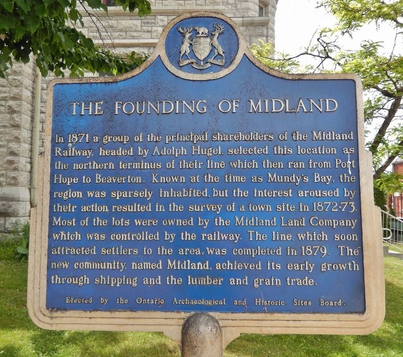
In 1871, a group of the principal shareholders of the Midland Railway, headed by Adolph Hugel, selected this location as the northern terminus of their line which then ran from Port Hope to Beaverton. Known at the time as Mundy's Bay, the region was sparsely inhabited, but the interest aroused by their action resulted in the survey of a town site in 1872-73. Most of the lots were owned by the Midland Land Company which was controlled by the railway. The line, which soon attracted settlers to the area, was completed in 1879. The new community, named Midland, achieved its early growth through shipping and the lumber and grain trades.
Erected by Ontario Archaeological and Historic Sites Board.
Topics and series. This historical marker is listed in these topic lists: Industry & Commerce • Railroads & Streetcars • Settlements & Settlers. In addition, it is included in the Canada, Ontario Heritage Trust series list. A significant historical year for this entry is 1871.
Location. 44° 44.917′ N, 79° 53.074′ W. Marker is in Midland, Ontario, in Simcoe County. It is on King Street just north of Elizabeth Street, on the
this page online

Regionally, this marker is in Central Ontario Cottage Country and specifically in Georgian Bay Country. It is also in Central Canada. Globally, it is in North America, on the Great Lakes, in the Western Hemisphere, in the Western World, and in the Anglosphere. Historically, it finds itself in what was once a British colony, the Viceroyalty of New France, the Haudenosaunee (Iroquois) Confederacy, and Rupert’s Land.
Other nearby markers. At least 8 other markers are within 5 kilometers of this marker, measured as the crow flies: Gateway to Huronia (approx. 3.6 kilometers away); Saint-Marie Among the Hurons / Saint-Marie-au-pays-des-Hurons (approx. 3.6 kilometers away); John Graves Simcoe (1752-1806) (approx. 4.9 kilometers away); Father Laboureau (approx. 4.9 kilometers away); Athol Murray (approx. 4.9 kilometers away); Métis (approx. 4.9 kilometers away); Huron-Wendat Circle of Nations / Cercle des Nations huronnes-wendat
More about this marker. Both sides of this marker have the same English inscription.
Also see . . . Midland's Development and Growth - A Brief History.
Excerpt: Settled by farming families in the 1840’s, Midland was known by several names including Mundy’s Bay, Hartley’s Landing, and Abedar (named for the Welsh hometown of the first postmaster and retail merchant, Mr. Thomas Gladstane). Gladstane built a store during the spring and summer of 1871. Later that same summer, H.H. Cook constructed a large lumber mill operation along the shore, complete with docks, boarding houses, and a skilled work crew of 200 men.(Submitted on August 29, 2024, by Cosmos Mariner of Cape Canaveral, Florida.)In November of 1871, the Midland Railway Corporation of Port Hope, Ontario, selected Midland as its western port and terminus. Adolphe Hugel and George Cox formed the Midland Land Company and purchased most of the acreage in the area from various farming families. In 1872, they had Peter Burnett survey the new village site, complete with large lots, wide roads and big plans for the future. They named the new community “Midland City.”
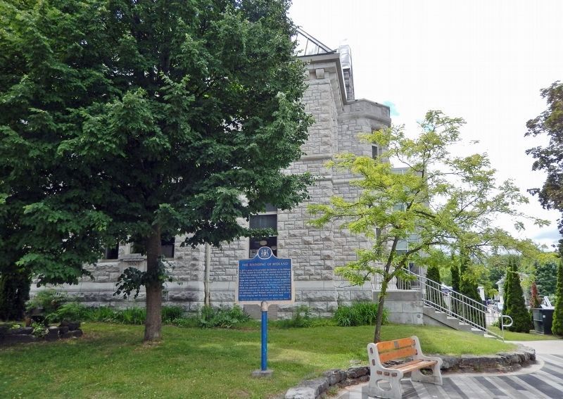
With railway construction, expanded lumber operations, and an ever-growing commercial sector, Midland City flourished.Photographed by Cosmos Mariner, June 7, 20243. Midland Public Library (southeast elevation)King Street is on the right and the marker is located about 30 meters north of this corner.The Chew brothers established a grist mill in 1875. Midland City soon reached a population of over 1,000 and was incorporated into a Village on October 24, 1878. On July 1, 1879, the completed railroad was officially opened for commercial and passenger service. In 1881 the first large grain elevator was completed and regular commercial shipping began.

Credits. This page was last revised on August 29, 2024. It was originally submitted on August 29, 2024, by Cosmos Mariner of Cape Canaveral, Florida. This page has been viewed 227 times since then and 39 times this year. Photos: 1, 2, 3. submitted on August 29, 2024, by Cosmos Mariner of Cape Canaveral, Florida.
