
Murillo in Thunder Bay District, Ontario — Central Canada (North America)
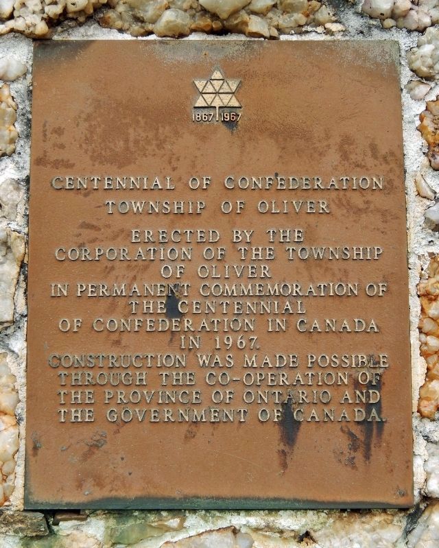
Centennial of Confederation
Township of Oliver
| — | 1867-1967 | — |
Photographed by Cosmos Mariner, June 16, 2024
1. Centennial of Confederation (top marker)
[top marker]
Corporation of the Township
of Oliver
in permanent commemoration of
the Centennial
of Confederation in Canada
in 1967.
Construction was made possible
through the co-operation of
the Province of Ontario and
the Government of Canada.
[bottom marker]
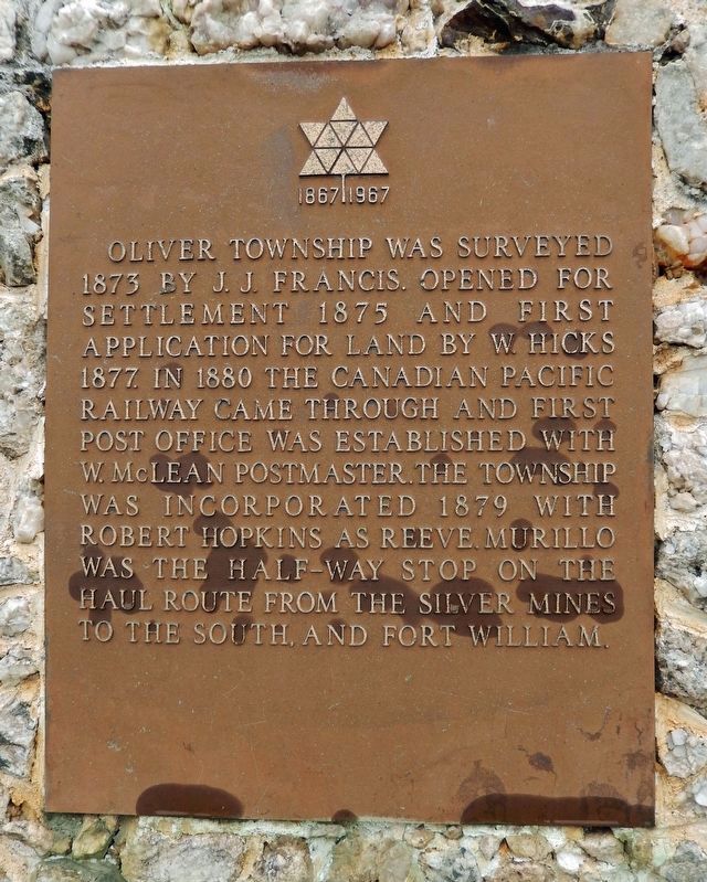
Oliver Township was surveyed 1873 by J. J. Francis. Opened for settlement 1875 and first application for land by W. Hicks 1877. In 1880 the Canadian Pacific Railway came through and first post office was established with W. McLean postmaster. The township was incorporated 1879 with Robert Hopkins as reeve. Murillo was the half-way stop on the haul route from the silver mines to the south, and Fort William.
Erected 1967 by The Township of Oliver.
Topics and series. This historical marker is listed in these topic lists: Government & Politics • Patriots & Patriotism • Railroads & Streetcars • Settlements & Settlers. In addition, it is included in the Canada Centennial of Confederation series list. A significant historical year for this entry is 1867.
Location. 48° 24.701′ N, 89° 30.135′ W. Marker is in Murillo, Ontario, in Thunder Bay District. It
this page online

Regionally, this marker is in Northern Ontario and specifically in Northwest Ontario. It is also in Central Canada. Globally, it is in North America, in the Great North Woods, on the Great Lakes, on Lake Superior’s North Shore, in the Western Hemisphere, in the Western World, and in the Anglosphere. Historically, it finds itself in what was once a British colony, the Viceroyalty of New France, the Haudenosaunee (Iroquois) Confederacy, and Rupert’s Land.
Other nearby markers. At least 8 other markers are within 14 kilometers of this marker, measured as the crow flies: The Founding of Oliver Township (here, next to this marker); Oliver Agricultural Society (here, next to this marker); Oliver Daunais 1836-1916 (approx. 7 kilometers away); a different marker also named Centennial of Confederation (approx.
Photographed by Cosmos Mariner, June 16, 2024
2. Oliver Township (bottom marker)
Mounted directly below the Centennial of Confederation Marker.
Also see . . . Canadian Centennial 1867-1967 (Wikipedia).
Excerpt: The Canadian Centennial was a yearlong celebration held in 1967 to celebrate the 100th anniversary of Canadian Confederation. Celebrations in Canada occurred throughout the year but culminated on Dominion Day, July 1, 1967. Commemorative coins were minted, that were different from typical issues with animals on each — the cent, for instance, had a dove on its reverse.(Submitted on August 31, 2024, by Cosmos Mariner of Cape Canaveral, Florida.)Communities and organizations across Canada were encouraged to engage in Centennial projects to celebrate the anniversary. The projects ranged from special one-time events to local improvement projects, such as the construction of municipal arenas and parks. The Centennial Flame was also added to Parliament Hill. Children born in 1967 were declared Centennial babies.
Photographed by Cosmos Mariner, June 16, 2024
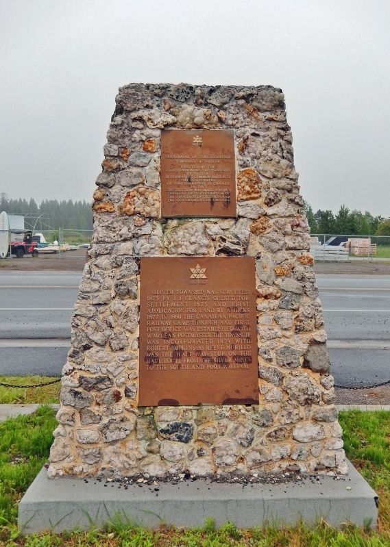
3. Centennial of Confederation Marker
Photographed by Cosmos Mariner, June 16, 2024
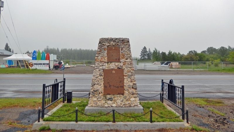
4. Centennial of Confederation Marker
Looking north across Oliver Road.
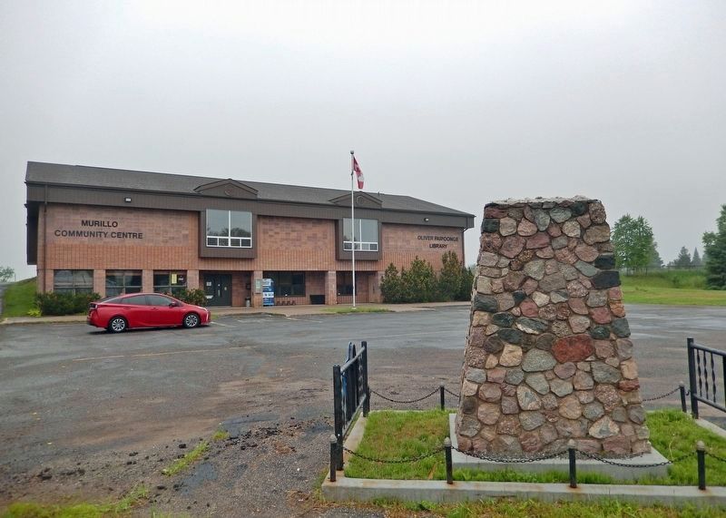
Photographed by Cosmos Mariner, June 16, 2024
5. Oliver Paipoonge Municipal Centre
(formerly the Oliver Township Community Centre)
(formerly the Oliver Township Community Centre)
Looking south from Oliver Road; the marker is on the south/opposite side of the cairn.
Credits. This page was last revised on August 31, 2024. It was originally submitted on August 29, 2024, by Cosmos Mariner of Cape Canaveral, Florida. This page has been viewed 141 times since then and 20 times this year. Photos: 1, 2, 3, 4, 5. submitted on August 31, 2024, by Cosmos Mariner of Cape Canaveral, Florida.
