St. Thomas in Elgin County, Ontario — Central Canada (North America)
McArthur’s Raid, November 11, 1814
Elgin County in the War of 1812

Photographed by Tim Boyd, August 23, 2024
1. McArthur’s Raid, November 11, 1814 Marker
In a fall of 1814 American general Duncan McArthur lead an expedition of 600 mounted riflemen, mostly Kentucky and Ohio volunteers, into Upper Canada from Detroit. He intended to attack Burlington Heights, the closest British encampment, in concert with other US troops coming north from Fort Erie. However, by the time he reached the Grand River on the 5 of November, the water levels were high and no boats were to be found. The other US force had withdrawn across the Niagara River and so he turned south planning to burn whatever flour mills he could find in the area.
McArthur soon met a large force of about 200 British regulars and 400 militia at Malcolm's Mills, near today's Oakland in Brant County. The defenders were dug in on high ground above the roadway, so McArthur divided his troops sending a number around to attack from the rear. The defenders were dislodged and retreated in all directions setting off what have been called the Malcolm's Mills "foot races."
The Americans now moved south through the Long Point area eventually burning five mills before finding the Talbot Road and riding west. After staying overnight
this page online
His claims for losses following McArthur's raid show a very productive farm:
150 Bushels of wheat - 93 Pounds 15 · 2 Hives of bees - 2 Pounds 10
80 Bushels of corn - 30 Pounds 10 · 2 Hogs - 9 Pounds 7
300 Panels (rails) of fence - 22 Pounds · 1 Horse - 15 Pounds
40 Bushels of oats - 10 Pounds · Household furniture - 125 Pounds
50 Bushels of potatoes - 12 Pounds 10 · 45 Bushels of wheat destroyed on the ground where the enemy encamped - 16 Pounds 17
12 Tons of hay - 42 Pounds
12 Sheep - 18 Pounds
The claim amounted to just over 397 Pounds Sterling. The claim is reproduced in Taken and Destroyed: The War of 1812 Losses Claims, London and Western Districts, Upper Canada
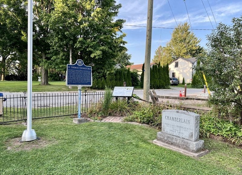
Photographed by Tim Boyd, August 23, 2024
2. McArthur’s Raid, November 11, 1814 Marker (centre)
Erected by Elgin County Museum.
Topics. This historical marker is listed in this topic list: War of 1812. A significant historical date for this entry is November 11, 1814.
Location. 42° 46.637′ N, 81° 12.364′ W. Marker is in St. Thomas, Ontario, in Elgin County. It is at the intersection of Walnut Street and Church Street, on the right when traveling east on Walnut Street. The marker is on the grounds of St. Thomas’ Church. Touch for map. Marker is at or near this postal address: 57 Walnut St, St Thomas ON N5R 2Y9, Canada. Touch for directions.

Regionally, this marker is in the Southwest Ontario Area and in Southwestern Ontario. It is also in Central Canada. Globally, it is in North America, on the Great Lakes, in the Western Hemisphere, in the Western World, and in the Anglosphere. Historically, it finds itself in what was once a British colony, the Viceroyalty of New France, the Haudenosaunee (Iroquois) Confederacy, and Rupert’s Land.
Other nearby markers. At least 8 other markers are within walking distance of this marker: St. Thomas’ Church 1824 (here, next to this marker); Jumbo (approx.

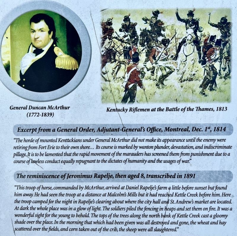
3. McArthur’s Raid, November 11, 1814 marker detail
Also see . . . McArthur’s Gamble: The Bold 1814 American Raid into Canada.
The mission of the American incursion was twofold. First, McArthur intended to destroy mills, bridges, livestock and foodstuffs across western Upper Canada (present-day southeastern Ontario), thus rendering the region incapable of supporting British troops. Second, he hoped to isolate the Niagara Peninsula, between Lakes Ontario and Erie, and force the British to abandon Upper Canada west of York (present-day Toronto). In his 1816 history of the war Robert(Submitted on August 31, 2024, by Tim Boyd of Hamilton, Ontario.)B. McAfee, an American veteran of the campaigns in Upper Canada, described what became known as “McArthur’s Raid” as “an expedition which was not surpassed during the war in boldness of its design and the address with which it was conducted.Photographed by Tim Boyd, August 23, 20244. McArthur’s Raid, November 11, 1814 marker detail
Credits. This page was last revised on August 31, 2024. It was originally submitted on August 31, 2024, by Tim Boyd of Hamilton, Ontario. This page has been viewed 588 times since then and 109 times this year. Photos: 1, 2, 3, 4. submitted on August 31, 2024, by Tim Boyd of Hamilton, Ontario. • Andrew Ruppenstein was the editor who published this page.
