St. Thomas in Elgin County, Ontario — Central Canada (North America)
St. Thomas’ Church 1824

Photographed by Tim Boyd, August 23, 2024
1. St. Thomas’ Church 1824 Marker
Erected by Ontario Archaeological and Historic Sites Board.
Topics and series. This historical marker is listed in these topic lists: Architecture • Religion & Religious Structures • Settlements & Settlers. In addition, it is included in the Canada, Ontario Heritage Trust series list. A significant historical year for this entry is 1824.
Location. 42° 46.636′ N, 81° 12.366′ W. Marker is in St. Thomas, Ontario, in Elgin County. It is at
this page online

Regionally, this marker is in the Southwest Ontario Area and in Southwestern Ontario. It is also in Central Canada. Globally, it is in North America, on the Great Lakes, in the Western Hemisphere, in the Western World, and in the Anglosphere. Historically, it finds itself in what was once a British colony, the Viceroyalty of New France, the Haudenosaunee (Iroquois) Confederacy, and Rupert’s Land.
Other nearby markers. At least 8 other markers are within walking distance of this marker: McArthur’s Raid, November 11, 1814 (here, next to this marker); Jumbo (approx. 0.2 kilometers away); Dr. Charles Duncombe (1791-1867) (approx. 0.3 kilometers away); Elgin County Courthouse/ Palais de Justice Elgin County (approx. 0.4 kilometers away); a different marker also named Elgin County Courthouse/ Palais de Justice Elgin County (approx. 0.4 kilometers away); Col. the Hon. Thomas Talbot 1771-1853 (approx.

Photographed by Tim Boyd, August 23, 2024
2. St. Thomas’ Church 1824 Marker
Also see . . . A not-so-silent celebration of Old St. Thomas Church. Bicentennial committee has a full year of event planned to celebrate church's 200-year history. The land for the church and its churchyard – the resting place of many early St. Thomas residents – was donated in 1821 by Daniel Rapelje whose farm was the start of today’s city. He had buried two children on the property. Construction began in 1822. “(Old ST. Thomas) is important because it’s the oldest church between Six Nations and Amerherstberg,” Steve says. “It certainly predates anything in London.” (Submitted on August 31, 2024, by Tim Boyd of Hamilton, Ontario.)

3. St. Thomas’ Church, 1925
Source: Library and Archives Canada (public domain)
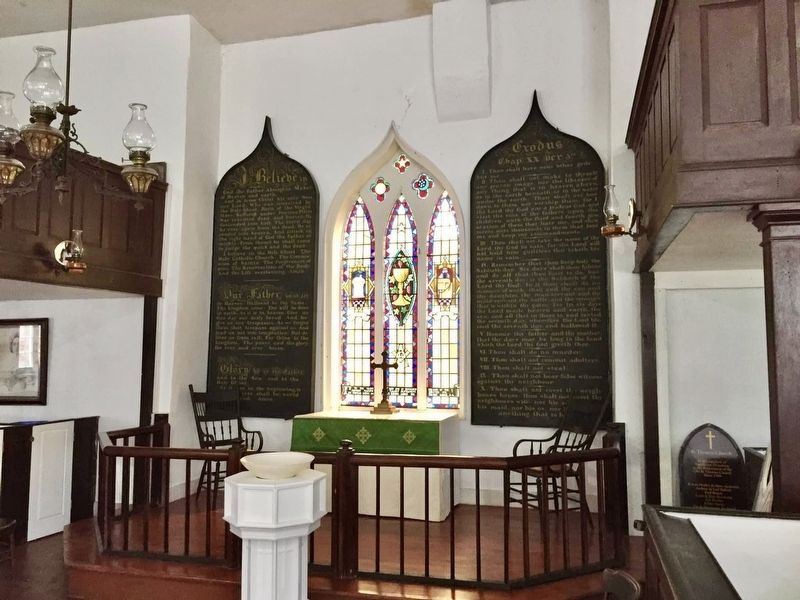
Photographed by Tim Boyd, 2019
4. St. Thomas’ Church interior
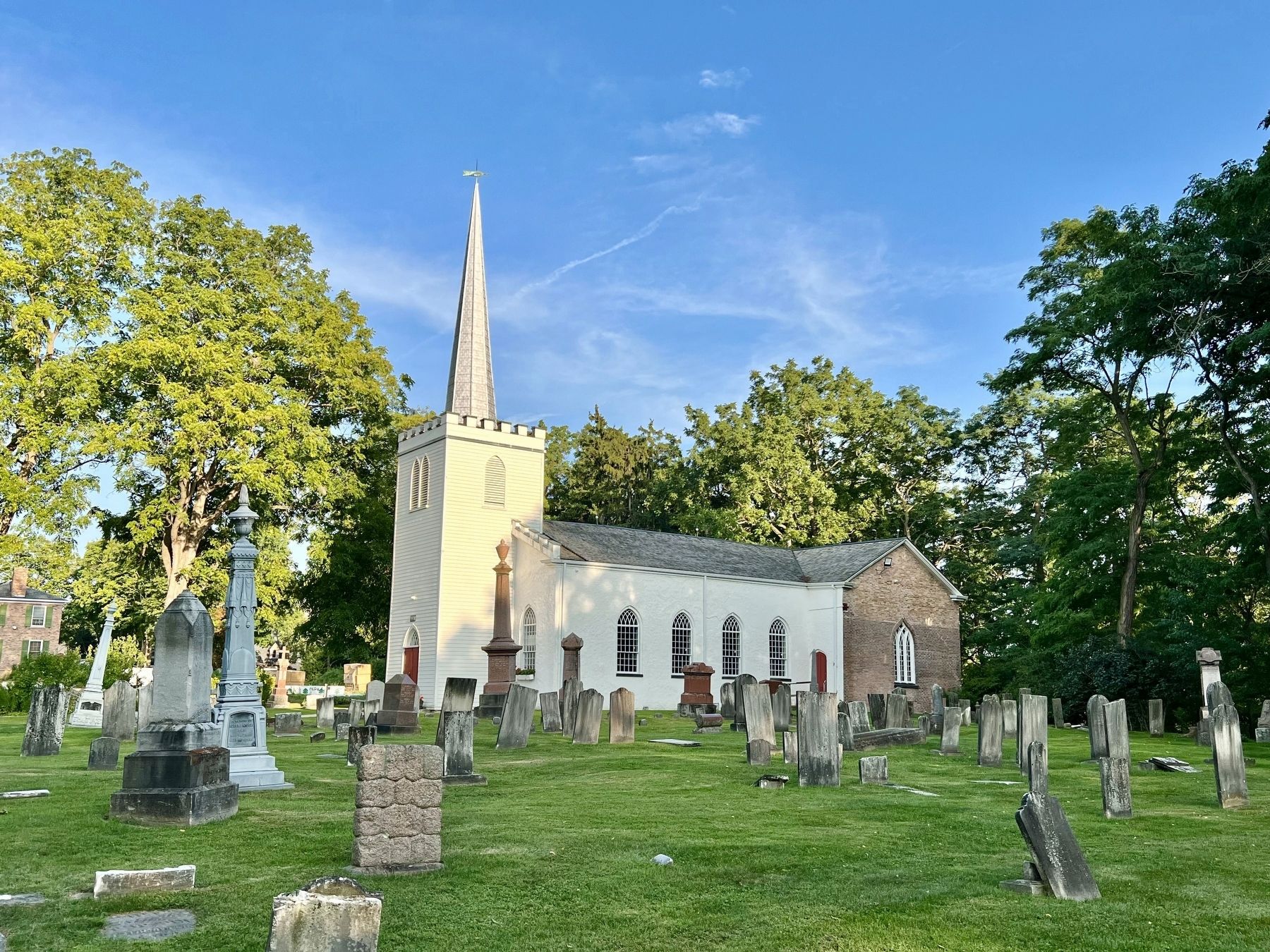
Photographed by Tim Boyd, August 23, 2024
5. St. Thomas’ Church, 2024
Credits. This page was last revised on August 31, 2024. It was originally submitted on August 31, 2024, by Tim Boyd of Hamilton, Ontario. This page has been viewed 278 times since then and 53 times this year. Photos: 1, 2, 3, 4, 5. submitted on August 31, 2024, by Tim Boyd of Hamilton, Ontario. • Andrew Ruppenstein was the editor who published this page.
