Near Middleburgh in Schoharie County, New York — The American Northeast (Mid-Atlantic)
Site of Frederick Mattice’s Barn
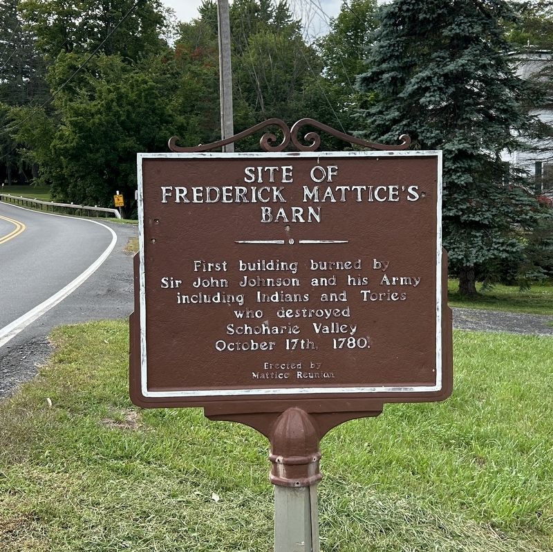
Photographed by Steve Stoessel, August 31, 2024
1. Frederick Mattice’s Barn Marker
Erected by Mattice Reunion.
Topics. This historical marker is listed in this topic list: War, US Revolutionary. A significant historical date for this entry is October 17, 1780.
Location. 42° 34.317′ N, 74° 21.374′ W. Marker is near Middleburgh, New York, in Schoharie County. It is on Clauverwie Road 2 miles south of Main Street (New York State Route 145), on the left when traveling north. Touch for map. Marker is at or near this postal address: 1123 Clauverwie Rd, Middleburgh NY 12122, United States of America. Touch for directions.

Regionally, this marker is in Upstate New York and in the Mohawk Valley. It is also in the American Northeast, in the Mid-Atlantic, in Appalachia, and specifically in Northern Appalachia. Globally, it is in North America, the Western Hemisphere, the Western World, and the Anglosphere. Historically, it finds itself in what was once the Haudenosaunee (Iroquois) Confederacy, New Netherland, and one of the original Thirteen Colonies.
Other nearby markers. At
this page online
Also see . . .
1. Sir John Johnson (Wikipedia). Johnson's Indian ally was Joseph Brant. (Submitted on September 1, 2024, by Steve Stoessel of Niskayuna, New York.)
2. Joseph Brant (Wikipedia).
In early 1780, Brant resumed small-scale attacks on American troops and white settlers in the Mohawk and Susquehanna river valleys. In February 1780, he and his party set out, and in April attacked Harpersfield.[69] In mid-July 1780 Brant attacked the Oneida village of Kanonwalohale, as many of the nation fought as allies of the American colonists. Brant's raiders destroyed the Oneida houses, horses, and crops.(Submitted on September 1, 2024, by Steve Stoessel of Niskayuna, New York.)Some of the Oneida surrendered, but most took refuge at Fort Stanwix.Photographed by Steve Stoessel, August 31, 20242. Frederick Mattice’s Barn Marker
Traveling east, Brant's forces attacked towns on both sides of the Mohawk River: Canajoharie on the south and Fort Plank. He burned his former hometown of Canajoharie because it had been re-occupied by American settlers. On the raiders' return up the valley, they divided into smaller parties, attacking Schoharie, Cherry Valley, and German Flatts. Joining with Butler's Rangers and the King's Royal Regiment of New York, Brant's forces were part of a third major raid on the Mohawk Valley, where they destroyed settlers' homes and crops. In August 1780, during a raid with the King's Royal Regiment of New York in the Mohawk valley, about 150,000 bushels of wheat were burned.
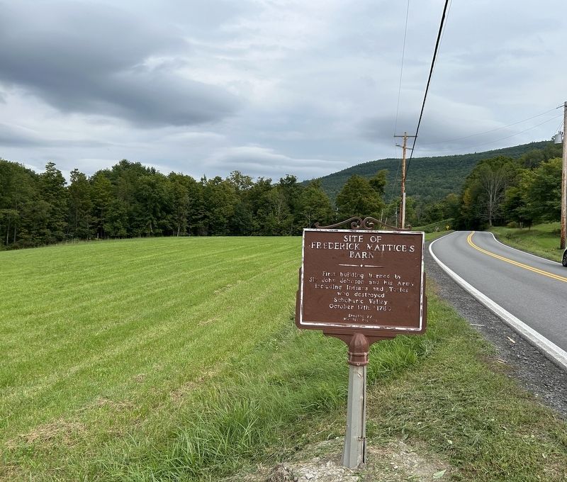
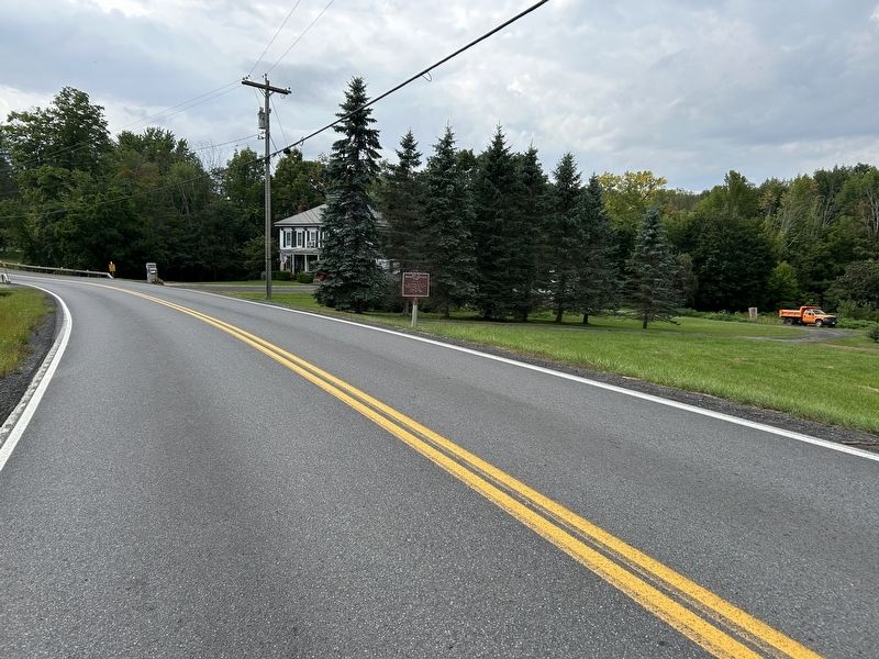
Photographed by Steve Stoessel, August 31, 2024
3. Frederick Mattice’s Barn Marker
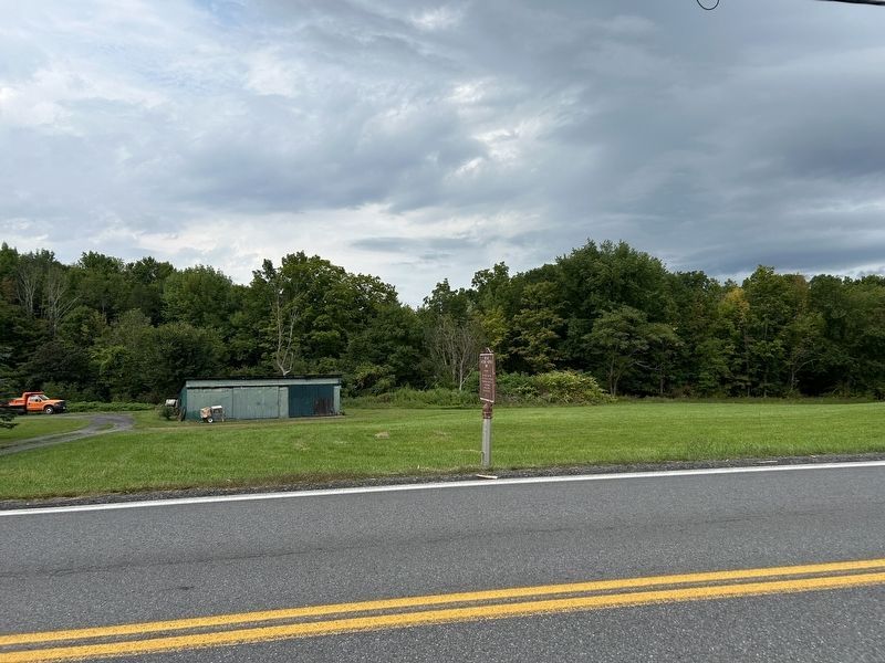
Photographed by Steve Stoessel, August 31, 2024
4. Site of Frederick Mattice’s Barn Marker
Credits. This page was last revised on September 1, 2024. It was originally submitted on September 1, 2024, by Steve Stoessel of Niskayuna, New York. This page has been viewed 354 times since then and 60 times this year. Photos: 1, 2, 3, 4. submitted on September 1, 2024, by Steve Stoessel of Niskayuna, New York.
