Big Delta in Southeast Fairbanks Census Area, Alaska — Northwest (North America)
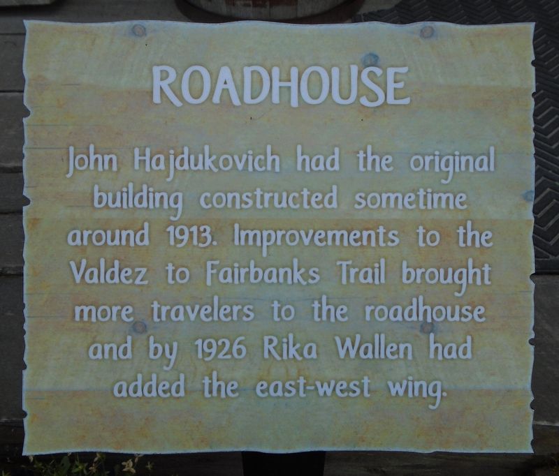
Roadhouse
Photographed by William Fischer, Jr., August 16, 2024
1. Roadhouse Marker
building constructed sometime
around 1913. Improvements to the
Valdez to Fairbanks Trail brought
more travelers to the roadhouse
and by 1926 Rika Wallen had
added the east-west wing.
—————————
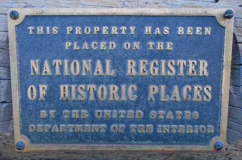
This property has been
placed on the
National Register
of Historic Places
by the United States
Department of the Interior
Erected by Alaska State Parks and Alaska Division of Parks and Outdoor Recreation.
Topics. This historical marker is listed in these topic lists: Industry & Commerce • Settlements & Settlers. A significant historical year for this entry is 1913.
Location. 64° 9.316′ N, 145° 50.456′ W. Marker is in Big Delta in Southeast Fairbanks Census Area, Alaska. It can be reached from Richardson Highway. Markers and building are on the Big Delta State Historical Park grounds. Touch for map. Marker is at or near this postal address: 274.5 Richardson Highway (State Hwy 2), Delta Junction AK 99737, United States of America. Touch for directions.

Regionally, this marker is in the Athabascan Region and in Interior Alaska. It is also on the American Pacific Coast. Globally,
this page online
Other nearby markers. At least 8 other markers are within walking distance of this marker: Truckers' Rebellion (a few steps from this marker); A Place to Rest (a few steps from this marker); Windmill (a few steps from this marker); 30 Ft. Wooden River Boat (within shouting distance of this marker); Ferry Scales (within shouting distance of this marker); Ferryman's Cabin (within shouting distance of this marker); Homestead Outbuilding (within shouting distance of this marker); Domesticating the Wilderness (within shouting distance of this marker). Touch for a list and map of all markers in Big Delta.
Regarding Roadhouse.
National Register Statement of Significance:
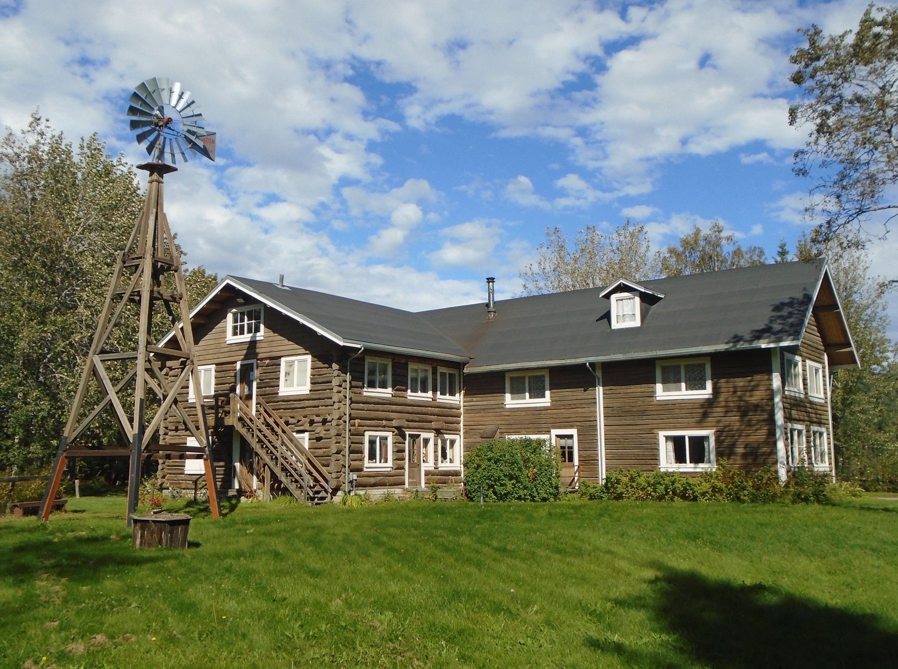
Rika's Landing Site at Mile 252 on the Old Richardson Highway remains much as it was when operations began in 1909 and terminated in 1947. Together with its windmill and group of outbuildings, it is now owned by Alyeska Pipeline Service Company and is closed to the public. The
Photographed by William Fischer, Jr., August 16, 2024
2. Roadhouse NRHP Marker
at this most significant location on this route to the Alaskan interior—the Valdez Trail, later called the Richardson Trail, which became the present Richardson Highway.
[Now owned by Alaska State Parks]
Also see . . .
1. Rika’s Landing Roadhouse. (Submitted on September 2, 2024, by William Fischer, Jr. of Reynoldsburg, Ohio.)
2. Big Delta State Historical Park. (Submitted on September 2, 2024, by William Fischer, Jr. of Reynoldsburg, Ohio.)
3. Rika's Landing Roadhouse National Register Nomination. (Submitted on September 2, 2024, by William Fischer, Jr. of Reynoldsburg, Ohio.)

Photographed by William Fischer, Jr., August 16, 2024
3. Rika's Roadhouse and Markers

Photographed by William Fischer, Jr., August 16, 2024
4. Rika's Roadhouse
Photographed by William Fischer, Jr., August 16, 2024
5. Rika's Roadhouse
Photographed by William Fischer, Jr., August 16, 2024
6. Roadhouse Interior View
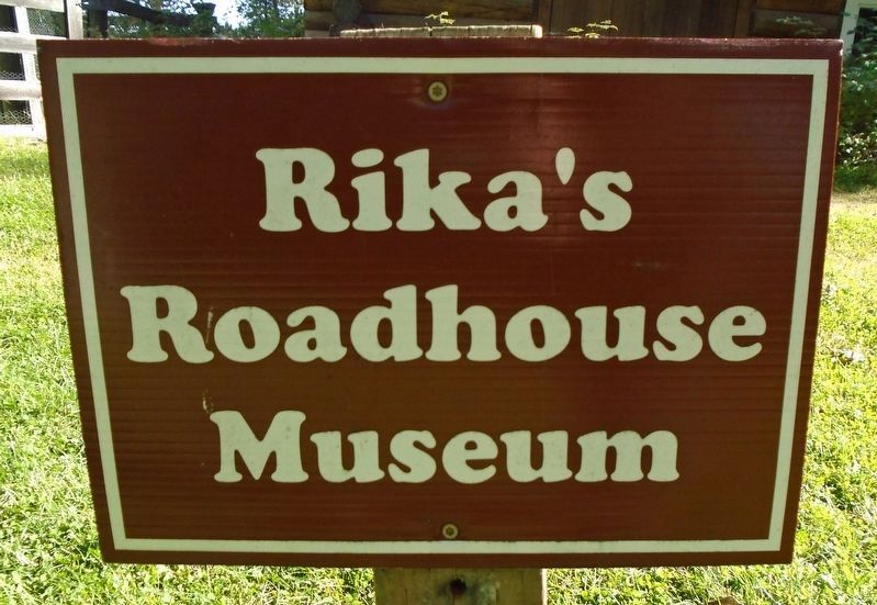
Photographed by William Fischer, Jr., August 16, 2024
7. Rika's Roadhouse Museum Sign
Credits. This page was last revised on September 2, 2024. It was originally submitted on September 2, 2024, by William Fischer, Jr. of Reynoldsburg, Ohio. This page has been viewed 221 times since then and 48 times this year. Photos: 1, 2, 3, 4, 5, 6, 7. submitted on September 2, 2024, by William Fischer, Jr. of Reynoldsburg, Ohio.
