
St. Thomas in Elgin County, Ontario — Central Canada (North America)
Captain. Daniel Rapelje
1774-1828
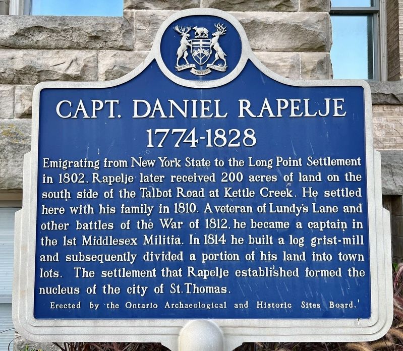
Photographed by Tim Boyd, August 23, 2024
1. Captain. Daniel Rapelje Marker
Erected by the Ontario Archaeological and Historic Sites Board.
Erected by Ontario Archaeological and Historic Sites Board.
Topics and series. This historical marker is listed in these topic lists: Industry & Commerce • Settlements & Settlers. In addition, it is included in the Canada, Ontario Heritage Trust series list. A significant historical year for this entry is 1802.
Location. 42° 46.744′ N, 81° 11.561′ W. Marker is in St. Thomas, Ontario, in Elgin County. It is at the intersection of Talbot Street and Mondamin Street on Talbot Street. Touch for map. Marker is at or near this postal address: 545 Talbot Street,
this page online

Regionally, this marker is in the Southwest Ontario Area and in Southwestern Ontario. It is also in Central Canada. Globally, it is in North America, on the Great Lakes, in the Western Hemisphere, in the Western World, and in the Anglosphere. Historically, it finds itself in what was once a British colony, the Viceroyalty of New France, the Haudenosaunee (Iroquois) Confederacy, and Rupert’s Land.
Other nearby markers. At least 8 other markers are within walking distance of this marker: St. Thomas Street Railway: 1908 (within shouting distance of this marker); Elgin’s Finest (within shouting distance of this marker); Hon. Mitchell F. Hepburn 1896-1953 (approx. 0.3 kilometers away); St. Thomas Canada Southern Railway Station / Gare ferroviaire de St. Thomas (approx. half a kilometer away); Elgin County Courthouse / Palais de Justice Elgin County (approx. 0.8 kilometers away); Elgin County Courthouse/ Palais de Justice Elgin County (1853) (approx. 0.8 kilometers away); Elgin County Courthouse/ Palais de Justice Elgin County (1898) (approx. 0.8 kilometers away); Elgin County Courthouse/ Palais de Justice Elgin County (2014)
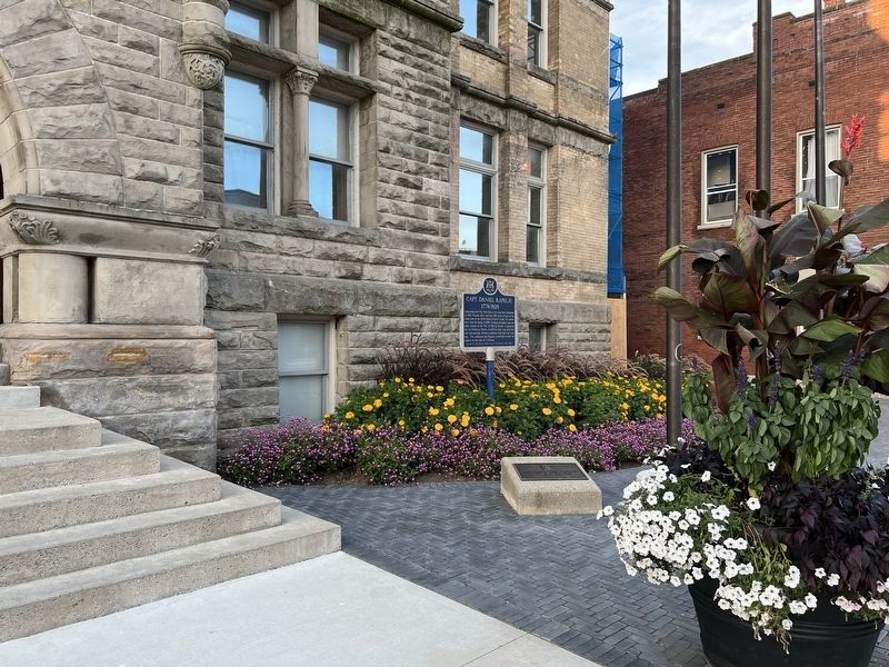
Photographed by Tim Boyd, August 23, 2024
2. Captain. Daniel Rapelje Marker
Also see . . . St. Thomas, Ontario (Wikipedia).
The founder of the settlement that became St. Thomas was Capt. Daniel Rapelje, descendant of a Walloon family settled in New Amsterdam, now New York City, at its inception in the seventeenth century. In 1820, Rapelje, the town's first settler, divided his land into town lots suitable for a village. Owner of the New England Mill, Rapelje subsequently donated two acres of land for the building of Old St. Thomas Church.(Submitted on September 2, 2024, by Tim Boyd of Hamilton, Ontario.)

3. Map of Part of Yarmouth Township, 1819.
Showing Daniel Rapelje‘s mills south of the site of St. Thomas.
Source: Elgin county Archives
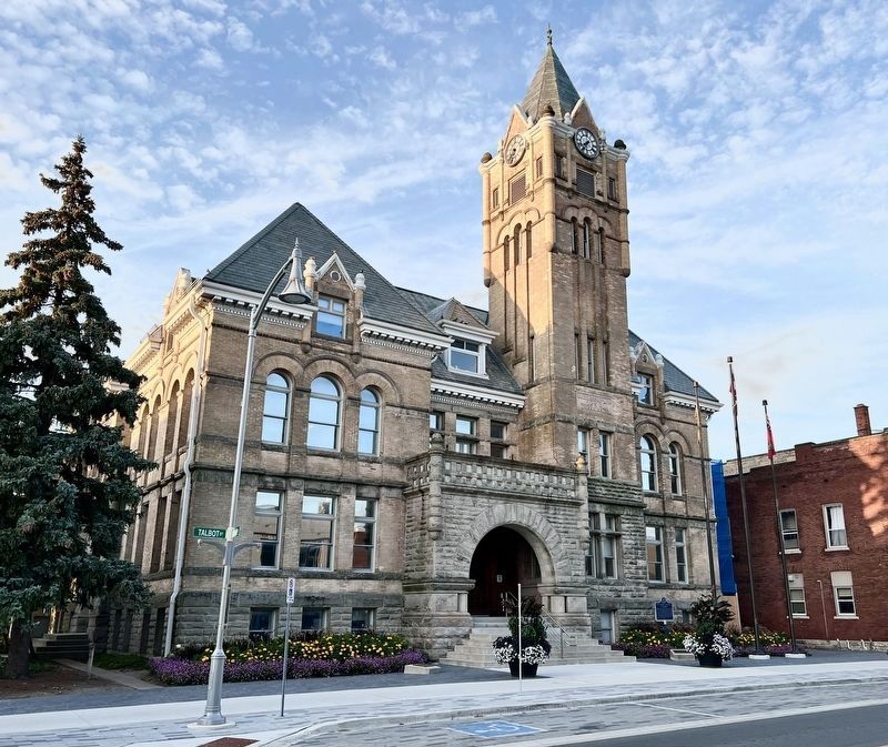
Photographed by Tim Boyd, August 23, 2024
4. Captain. Daniel Rapelje Marker
At the St. Thomas City Hall
Credits. This page was last revised on September 3, 2024. It was originally submitted on September 2, 2024, by Tim Boyd of Hamilton, Ontario. This page has been viewed 375 times since then and 97 times this year. Photos: 1, 2, 3, 4. submitted on September 2, 2024, by Tim Boyd of Hamilton, Ontario. • Andrew Ruppenstein was the editor who published this page.
