St. Thomas in Elgin County, Ontario — Central Canada (North America)
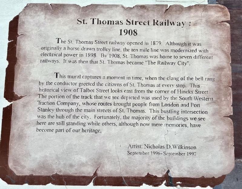
St. Thomas Street Railway: 1908
Photographed by Tim Boyd, August 23, 2024
1. St. Thomas Street Railway: 1908 Marker
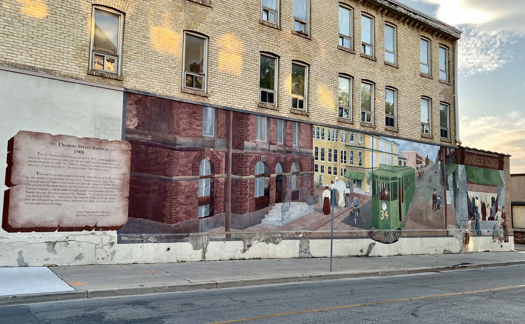
This mural captures a moment in time, when the clang of the bell rang by the conductor greeted the citizens of St. Thomas at every stop. This historical view of Talbot Street looks east from the corner of Hincks Street The portion of the track that we see depicted was used by the South Western Traction Company, whose routes brought people from London and Port Stanley through the main streets of St. Thomas. This bustling intersection was the hub of the city. Fortunately, the majority of the buildings we see here are still standing while others, although now mere memories, have become part of our heritage.
Artist: Nicholas D. Wilkinson
September 1996- September 1997
Topics. This historical marker is listed in this topic list: Railroads & Streetcars. A significant historical month for this entry is September 1996.
Location. 42° 46.747′ N, 81° 11.586′ W. Marker
this page online

Regionally, this marker is in the Southwest Ontario Area and in Southwestern Ontario. It is also in Central Canada. Globally, it is in North America, on the Great Lakes, in the Western Hemisphere, in the Western World, and in the Anglosphere. Historically, it finds itself in what was once a British colony, the Viceroyalty of New France, the Haudenosaunee (Iroquois) Confederacy, and Rupert’s Land.
Other nearby markers. At least 8 other markers are within walking distance of this marker: Captain. Daniel Rapelje (within shouting distance of this marker); Elgin’s Finest (within shouting distance of this marker); Hon. Mitchell F. Hepburn 1896-1953 (about 240 meters away, measured in a direct line); St. Thomas Canada Southern Railway Station / Gare ferroviaire de St. Thomas (approx. half a kilometer away); Elgin County Courthouse / Palais de Justice Elgin County
Photographed by Tim Boyd, August 23, 2024
2. St. Thomas Street Railway: 1908 marker and mural
1900
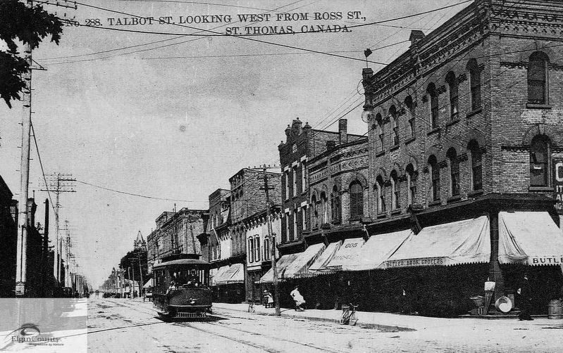
3. St. Thomas Street Railway vehicle on Talbot Street, ca 1900
Source: Elgin County Archives (public domain)
Credits. This page was last revised on September 4, 2024. It was originally submitted on September 2, 2024, by Tim Boyd of Hamilton, Ontario. This page has been viewed 126 times since then and 9 times this year. Photos: 1, 2, 3. submitted on September 2, 2024, by Tim Boyd of Hamilton, Ontario. • Andrew Ruppenstein was the editor who published this page.
