Near Harding-Birch Lakes in Southeast Fairbanks Census Area, Alaska — Northwest (North America)
Getting the Gold
Gold Rush Centennial
Photographed by William Fischer, Jr.
1. Getting the Gold Marker
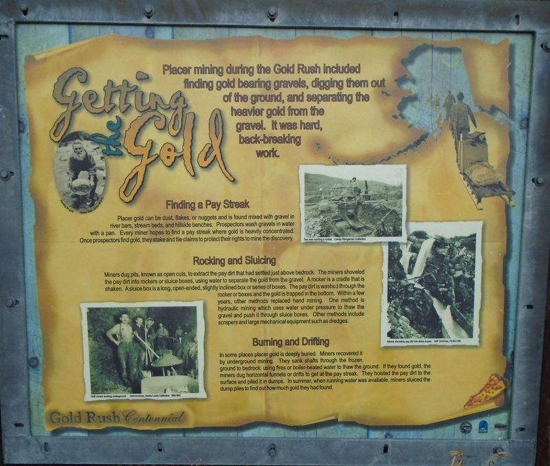
Placer mining during the Gold Rush included finding gold bearing gravels, digging them out of the ground, and separating the heavier gold from the gravel. It was hard, back-breaking work.
Finding a Pay Streak
Placer gold can be dust, flakes, or nuggets and is found mixed with gravel in river bars, stream beds, and hillside benches. Prospectors wash gravels in water with a pan. Every miner hopes to find a pay streak where gold is heavily concentrated. Once prospectors find gold, they stake and file claims to protect their rights to mine the discovery.
Rocking and Sluicing
Miners dug pits, known as open cuts, to extract the pay dirt that had settled just above bedrock. The miners shoveled the pay dirt into rockers or sluice boxes, using water to separate the gold from the gravel. A rocker is a cradle that is shaken. A sluice box is a long, open-ended, slightly inclined box or series of boxes. The pay dirt is washed through the rocker or boxes and the gold is trapped in the bottom. Within a few years, other methods replaced hand mining. One method is hydraulic mining which uses water under pressure to thaw the gravel
this page online
Burning and Drifting
In some places placer gold is deeply buried. Miners recovered it by underground mining. They sank shafts through the frozen ground to bedrock, using fires or boiler-heated water to thaw the ground. If they found gold, the miners dug horizontal tunnels or drifts to get at the pay streak. They hoisted the pay dirt to the surface and piled it in dumps. In summer, when running water was available, miners sluiced the dump piles to find out how much gold they had found.
[Photo captions, clockwise from top left, read]
• Panning for gold.
• Two men working a rocker.
• Miners shoveling pay dirt into sluice boxes.
• Drill miners working underground.
Topics. This historical marker is listed in these topic lists: Exploration • Industry & Commerce • Settlements & Settlers.
Location. 64° 16.816′ N, 146° 18.828′ W. Marker is near Harding-Birch Lakes in Southeast Fairbanks Census Area, Alaska. It is on Richardson Highway (State Highway 2 at milepost
Photographed by William Fischer, Jr., August 16, 2024
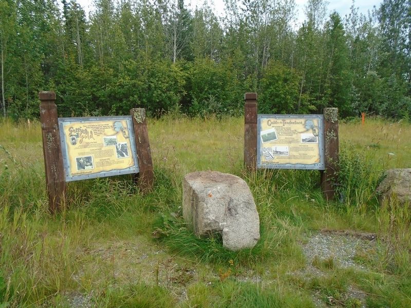
2. Getting the Gold Marker

Regionally, this marker is in the Athabascan Region and in Interior Alaska. It is also on the American Pacific Coast. Globally, it is in North America, on the Pacific Rim, in the Western Hemisphere, in the Western World, and in the Anglosphere. Historically, it finds itself in what was once the Russian Empire.
Other nearby markers. At least one other marker is within walking distance of this marker: Gold in the Tenderfoot (here, next to this marker).
Also see . . . History of Mining in Alaska (Alaska Miners Association). (Submitted on September 3, 2024, by William Fischer, Jr. of Reynoldsburg, Ohio.)
Photographed by William Fischer, Jr., August 16, 2024
3. Getting the Gold Marker
Credits. This page was last revised on September 3, 2024. It was originally submitted on September 3, 2024, by William Fischer, Jr. of Reynoldsburg, Ohio. This page has been viewed 163 times since then and 31 times this year. Photos: 1, 2, 3. submitted on September 3, 2024, by William Fischer, Jr. of Reynoldsburg, Ohio.
